3 entries match your criteria.
Related Historical Markers
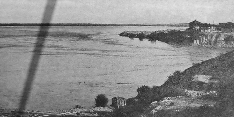
Marker detail: View from Indian Hill before Dams, 1905
SHOWN IN SOURCE-SPECIFIED ORDER
| 1 ► Arizona, Yuma County, Yuma — Yuma East Wetlands — The Colorado River Before the Dams — |
| Near Prison Hill Road, 0.5 miles north of Harold C. Giss Parkway. | |||
| 2 ► Arizona, Yuma County, Yuma — Yuma East Wetlands — 20th Century — |
| Near Prison Hill Road, 0.5 miles north of Harold C. Giss Parkway. | |||
| 3 ► Arizona, Yuma County, Yuma — Yuma East Wetlands Today — A Return to Balance — |
| Near Prison Hill Road, 0.5 miles north of Harold C. Giss Parkway. | |||