7 entries match your criteria.
Related Historical Markers
— 20 Mule Team routes.
By Syd Whittle, March 15, 2006
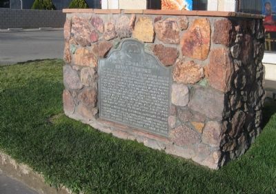
Mojave 20-Mule Team Borax Terminus Marker
SHOWN IN SOURCE-SPECIFIED ORDER
| On California Route 14 north of Nadeau Street, on the right when traveling north. |
| Near Borax Road, 2.5 miles north of California Route 58. |
| On 20 Mule Team Parkway east of Rudnick Boulevard, on the right when traveling west. |
| On 2nd Street at King Street, on the right when traveling north on 2nd Street. |
| On Rasor Road at Crucero Road / Yvonne Boulevard, on the right when traveling east on Rasor Road. |
| Near California Route 190, 1 mile north of Badwater Road, on the left when traveling north. |
| On California Route 190 at Borax Mill Road, on the left when traveling north on State Route 190. |
May. 5, 2024