7 entries match your criteria.
Related Historical Markers
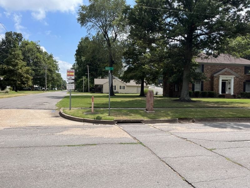
By Craig Swain, July 30, 2023
El Camino Real Marker
SHOWN IN SOURCE-SPECIFIED ORDER
| 1 ► Missouri, New Madrid County, New Madrid, New Madrid Township — El Camino Real — |
| 2 ► Missouri, Scott County, Sikeston — El Camino Real — |
| 3 ► Missouri, Scott County, Benton — El Camino Real — |
| 4 ► Missouri, Cape Girardeau County, Cape Girardeau — Don Louis Lorimier / El Camino Real — |
| 5 ► Missouri, Perry County, Perryville — El Camino Real — |
| 6 ► Missouri, Ste. Genevieve County, Ste. Genevieve — El Camino Real — Reported damaged |
| 7 ► Missouri, Jefferson County, Kimmswick — El Camino Real — |