6 entries match your criteria.
Related Historical Markers
To better understand the relationship, study each marker in the order shown.
By Dale K. Benington, June 26, 2009
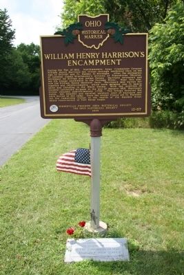
William Henry Harrison's Encampment Marker
SHOWN IN SOURCE-SPECIFIED ORDER
| Near South Bierley Avenue, on the right when traveling south. |
| On West Indiana Avenue (Ohio Route 65) near Fort Meigs Road, on the right when traveling south. |
| On West Indiana Avenue (State Road 65) at Fort Meigs Road, on the right when traveling south on West Indiana Avenue. |
| On River Road, 0.1 miles north of East John Street, on the right when traveling south. |
| On East Broadway Street at Gibbs Street., on the left when traveling west on East Broadway Street. |
| On River Road at Michigan Avenue, on the left when traveling south on River Road. Reported permanently removed. |
May. 3, 2024