On Benchmark Road (County Route 608) at Tidewater Trail (Virginia Route 2), on the right when traveling north on Benchmark Road.
This landscape, now changed by commercial and residential development, once swarmed with Union soldiers. Forty thousand Northern troops, led by General William B. Franklin, having crossed the Rappahannock River, massed here on the plain south of . . . — — Map (db m3825) HM
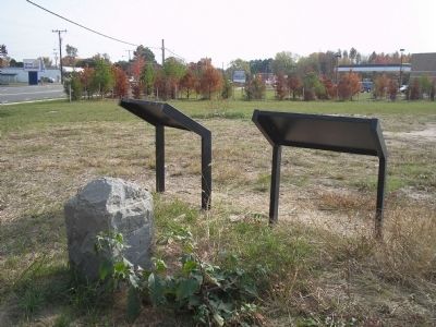
On Benchmark Road (Route 608) at Tidewater Trail (Virginia Route 2), on the right when traveling north on Benchmark Road.
Here Major John Pelham, commanding Stuart’s Horse Artillery, executed a stunning flank attack on advancing Union troops during the Battle of Fredericksburg on 13 December 1862. Reduced to one cannon, the 24-year-old Pelham halted the Federals for . . . — — Map (db m1656) HM
On Benchmark Road (County Route 608) at Tidewater Trail (Virginia Route 2), on the right when traveling north on Benchmark Road.
The Confederate Army of Northern Virginia had no braver officer than Major John Pelham. Although just 24 years old, the blonde-haired, blue-eyed Alabamian had already proven himself on more than half a dozen battlefields in Maryland and Virginia. . . . — — Map (db m214841) HM
On Tidewater Trail (Virginia Route 2), on the right when traveling north. Reported permanently removed.
December 13, 1862. This highway, the Old Richmond Stage Road, here passes wartime Smithfield, now the Fredericksburg Country Club. Out of the ravine alongside the present golf links (your left front), Meade’s Division emerged to form lines of battle . . . — — Map (db m110493) HM
On Jim Morris Road at Schumann Street, on the right when traveling south on Jim Morris Road. Reported damaged.
Twisting through the woods one hundred yards ahead of you are two well-preserved lines of earthworks constructed by Confederate forces in the winter of 1862-1863. General Robert E. Lee had ordered his troops to build the trenches in anticipation of . . . — — Map (db m19313) HM
On Jim Morris Road at Schumann Street, on the right when traveling south on Jim Morris Road. Reported damaged.
Young, handsome, and modest, Major John Pelham was one of the most popular men in the Confederate army. He was also one of its premier artillerists. Time and again the twenty-four-year-old officer had engaged the enemy at close quarters, earning the . . . — — Map (db m19314) HM
On Jim Morris Road at Schumann Street, on the right when traveling south on Jim Morris Road.
The months following the Battle of Fredericksburg brought a temporary halt to the fighting in Virginia, but not to the digging. Throughout the winter of 1862-1863 Confederate troops constructed nearly thirty miles of earthworks along the south bank . . . — — Map (db m19315) HM
On Tidewater Trail (U.S. 17) 1.1 miles east of Pepmeier Hill Road, on the right when traveling east.
In an outhouse here at Moss Neck, Stonewall Jackson had his headquarters, December, 1862-March, 1863. He was engaged in guarding the line of the Rappahannock with his corps of Lee's army. — — Map (db m19286) HM