5 entries match your criteria.
Related Historical Markers
By James King, January 26, 2014
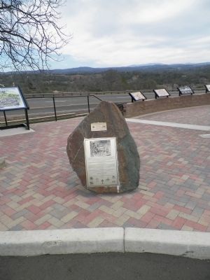
Argonaut Mine Monument
SHOWN IN SOURCE-SPECIFIED ORDER
| 1 ► California, Amador County, Jackson — Argonaut Mine — |
| On State Highway 49 (California Route 49), on the right when traveling south. | |||
| 2 ► California, Amador County, Jackson — 786 — Argonaut and Kennedy Mines — |
| Near State Highway 49. | |||
| 3 ► California, Amador County, Jackson — Miners' Graves — Argonaut Mine Tragedy 1922 — (Catholic Cemetery) — |
| Near Church Street, 0.1 miles south of North Main Street. | |||
| 4 ► California, Amador County, Jackson — Miners' Graves — Argonaut Mine Tragedy 1922 — (Jackson City Cemetery) — |
| Near Church Street, 0.2 miles south of North Main Street. | |||
| 5 ► California, Amador County, Jackson — St. Sava Serbian Orthodox Church — |