5 entries match your criteria.
Related Historical Markers
The list is markers installed by the Pea Ridge Memorial Association from 1962-1964 on the Pea Ridge Campaign.
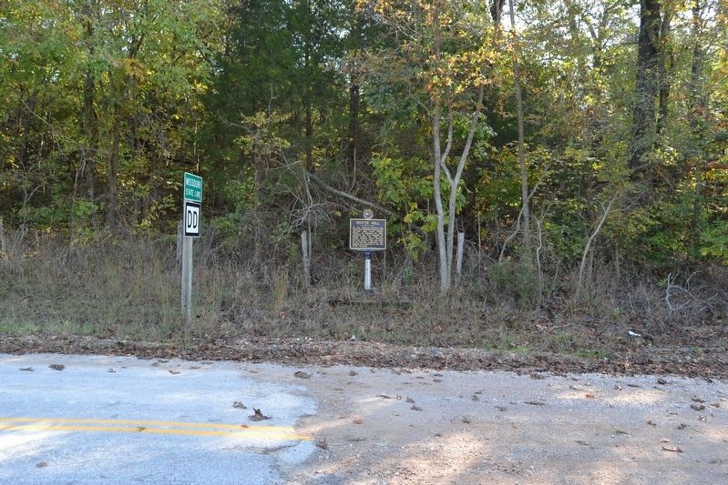
By Duane Hall, October 15, 2016
Potts' Hill Marker
SHOWN IN SOURCE-SPECIFIED ORDER
| On N. Old Wire Road (County Road 67) 1.5 miles north of Gann Ridge Road, on the right when traveling north. |
| On N. Old Wire Road (County Road 1703) 0.4 miles north of Smith Ridge Turnoff, on the left when traveling north. |
| On South Old Wire Road (County Road 83) 0.2 miles north of Dogwood Drive/Cross Hollow Road (County Road 1189), on the left when traveling north. |
| On SW A Street at West Central Avenue, on the right when traveling north on SW A Street. |
| On High Sky Inn Road (State Highway 303) 0.2 miles west of Bettis Hill Road, on the right when traveling north. |
May. 10, 2024