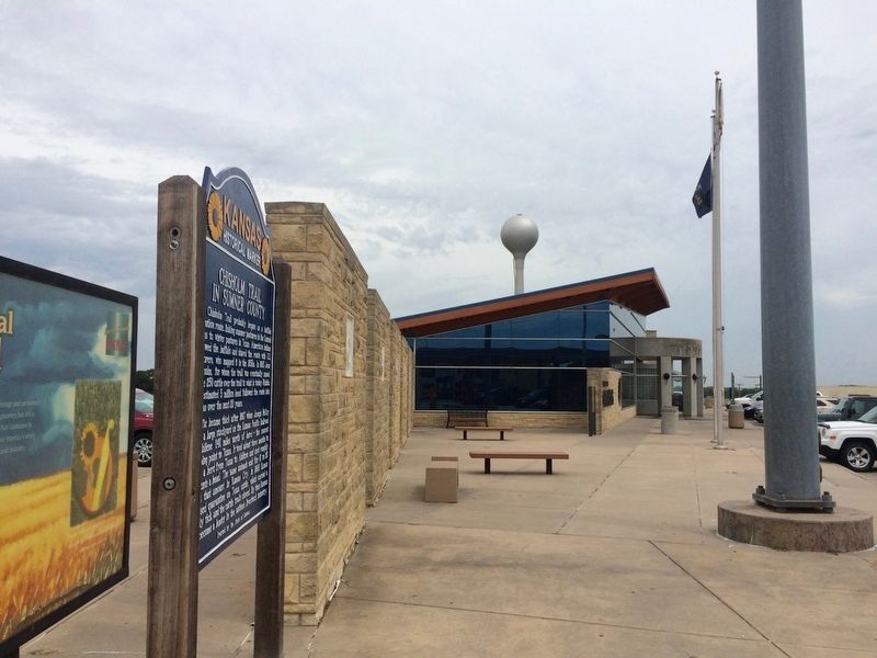
114 entries match your criteria. Entries 101 through 114 are listed. ⊲ Previous 100 Kansas Historical Society Historical MarkersMarkers of the Kansas state historical markers program administered by the Kansas Historical Society and Kansas Department of Transportation. By Mark Hilton, August 2, 2016 Marker area located just south of rest stop building when driving south. GEOGRAPHIC SORTTitle SortMarker Number SortMarker Number Sort NMarker Number Sort TPublication Order Sort Publication Order Sort AErected Year SortMost Viewed SortMost Recent-Interest SortMost Recently Changed SortSEE FAQ #33 FOR DESCRIPTIONS 101 ► Kansas, Sumner County, Belle Plaine — 63 — Chisholm Trail in Sumner County — Near Interstate 35 at milepost 26, in the median. 102 ► Kansas, Sumner County, Caldwell — 65 — Caldwell and the Chisholm Trail — On U.S. 81, on the right when traveling north. 103 ► Kansas, Wabaunsee County, Paxico — 97 — Bluestem in the Flint Hills / Beecher Bibles — 104 ► Kansas, Wabaunsee County, Paxico — 106 — Historical Kansas — Near Interstate 70 at milepost 337. 105 ► Kansas, Wallace County, Wallace — 44 — Fort Wallace — On U.S. 40 at milepost 25.5, on the left when traveling east. 106 ► Kansas, Wallace County, Weskan — 45 — Butterfield Stage Line — 107 ► Kansas, Washington County, Hanover — Hollenberg Pony Express Station — The Pony Express — 1860∙1861 ∙ 1960∙1961 — Near 23rd Road (Highway 243) west of Big Bear Road, on the right when traveling west. 108 ► Kansas, Washington County, Hanover — 119 — Hollenberg Ranch Pony Express Station — On 23rd Road (State Highway 243) near Big Bear Road, on the left when traveling east. 109 ► Kansas, Wilson County, Neodesha — 57 — Opening of the Mid-Continent Oil Field — On Main Street (U.S. 75), on the left when traveling east. 110 ► Kansas, Wyandotte County, Bonner Springs, Bonner - Loring — 2 — Kansas Indian Reservations — 111 ► Kansas, Wyandotte County, Kansas City, Muncie — 88 — Delaware Crossing and the Grinter Ferry — On Kaw Drive (State Highway 32) near 78th Street, on the left when traveling east. 112 ► Kansas, Wyandotte County, Kansas City, Riverview — 115 — This Gateway to Kansas — On Minnesota Avenue west of 4th Street, on the right when traveling west. 113 ► Kentucky, Madison County, Richmond — 1578 — First Ferry in Kentucky / Col. Richard Callaway — Near Boonesboro Road (Kentucky Route 388), on the right when traveling north. 114 ► Kentucky, Madison County, Richmond — 1577 — Nathaniel Hart / Home of Capt. Nathaniel Hart — On Boonesboro Road (Kentucky Route 388), on the right when traveling south. 114 entries matched your criteria. Entries 101 through 114 are listed above. ⊲ Previous 100