19 entries match your criteria.
Coal Creek Watershed Foundation Historical Markers
Historical markers written and installed by foundation volunteers to mark the rich Coal Creek mining history.
By Tom Bosse, March 4, 2017
Briceville Church Marker
| On Briceville Highway (Tennessee Route 116), on the right when traveling south. |
| On Briceville Highway (Tennessee Route 116), on the right when traveling south. |
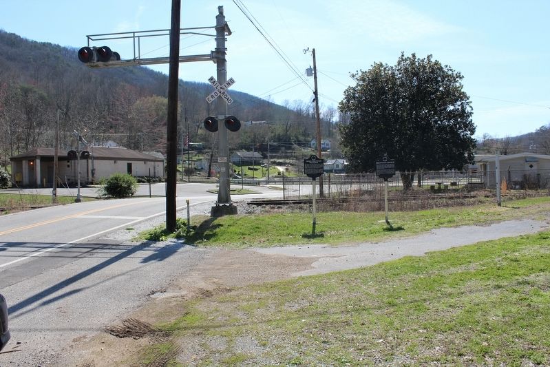
| On Slatestone Road, on the left when traveling north. |
| On Briceville Highway (Tennessee Route 116) at ircle Cemetery Road, on the left when traveling south on Briceville Highway. |
| On Slatestone Road, on the left when traveling north. |
| On Briceville Highway (Tennessee Route 116) at Andy's Ridge Road, on the left when traveling north on Briceville Highway. |
| On Briceville Highway (Tennessee Route 116) near Andy's Ridge Road, on the left when traveling north. |
| On Briceville Highway (Tennessee Route 116) at Andy's Ridge Road, on the left when traveling north on Briceville Highway. |
| On Vowell Mountain Lane, on the left when traveling north. |
| On Vowell Mountain Lane, on the left when traveling north. |
| On Vowell Mountain Lane, on the left when traveling north. |
| On Vowell Mountain Lane, on the left when traveling north. |
| On Beech Grove Road at Vowell Mountain Lane, on the left when traveling north on Beech Grove Road. |
| On Beech Grove Road at Vowell Mountain Lane, on the left when traveling north on Beech Grove Road. |
| On Vowell Mountain Lane, on the left when traveling north. |
| On Vowell Mountain Lane, on the left when traveling north. |
| On Vowell Mountain Lane, on the left when traveling north. |
| On Vowell Mountain Lane, on the left when traveling north. |
May. 8, 2024