Washington, Port Townsend, Hidden History Historical Markers
Fourteen markers throughout Uptown and Downtown Port Townsend that reveal the area's rich though often overlooked history in order to deepen appreciation of the people and events that helped shape the area into what it is today.
On Water Street east of Quincy Street, on the left when traveling east.
Who was the "Crimper King" of Port Townsend?
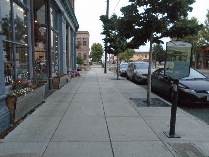
The practice of forced maritime service was known as "crimping" in the 19th Century. Early fortunes were made provisioning out-bound ships with sailors. Maxwell Levy, the "Crimper King" of . . . — — Map (db m179358) HM
On Water Street at Tyler Street, on the left when traveling east on Water Street.
What did Port Townsend look like in the 1860s?
You are standing near the site of Port Townsend's first settler cabin. The area was often flooded with seawater. Alfred A. Plummer, age 29, arrived in 1851 with Charles Bachelder and . . . — — Map (db m179690) HM
On Madison Street north of Water Street, on the right when traveling north.
How was early Port Townsend affected by fire?
Port Townsend's earliest buildings were tightly packed wooden structures, that were both lit and heated by fire. The threat of disastrous, multi-building fire was ever-present. Entire . . . — — Map (db m179736) HM
On Washington Street at Taylor Street, on the left when traveling east on Washington Street.
Hidden Histories
Port Townsend's architectural history is so well preserved, it's easy to overlook the stories that remain hidden. Our city, community, and daily lives are defined by what came before. Today's Port Townsend is in . . . — — Map (db m179704) HM
On Water Street just east of Adams Street, on the right when traveling east.
Why are there so many Victorian buildings here?
Many of the historical buildings around you were built in the 1880s and 1890s. The facades of these ornate stone, brick, and cast iron structures memorialize the names of their . . . — — Map (db m179442) HM
On Water Street at Taylor Street, on the right when traveling west on Water Street.
Did Port Townsend have a railroad?
1880s Port Townsend was a booming seaport and Washington's Port of Entry. Great efforts were made to connect the city with the nation's expanding railway systems. Local business owners and . . . — — Map (db m179536) HM
On Water Street at Taylor Street, on the left when traveling east on Water Street.
Was there smuggling in Port Townsend?
Until 1911 Port Townsend was a Customs Port of Entry for the United States. Goods from foreign ports arriving in Puget Sound had to stop in Port Townsend and pay taxes. Avoiding customs was . . . — — Map (db m179593) HM
On Water Street at Taylor Street, on the right when traveling east on Water Street.
Why was Union Wharf so important?
Port Townsend's shores boast shallow waters, frequently less than 10 feet deep, dozens of feet out into the bay. As shipping became central to the boomtown's economy, this asset to early settlers . . . — — Map (db m179597) HM
On Water Street at Polk Street, on the right when traveling east on Water Street.
Where does your water come from?
Nestled in the "rainshadow" of the Olympic Mountains, Port Townsend gets surprisingly little rain and is surrounded by salt water. In the late 1800s water was scarce and expensive. Early residents . . . — — Map (db m179693) HM