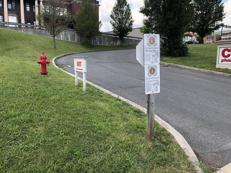
Armstrong Mansion (also known as the Davis Mansion). The Armstrong family left Keyser because of Southern ties. This home was used by the Union Army during the Civil War. It was later sold to Thomas Davis. Two of Keyser's streets were . . . — — Map (db m152790) HM
Notable because Thomas R. Carskadon was a Vice-Presidential Candidate in 1892. He was considered radical because of his modern ideas on farming, politics, his inventions and life in general. His home had plumbing and conveniences ahead of the . . . — — Map (db m196550) HM
WV became a border state in 1863 when it separated from Virginia. The Mineral County Courthouse was completed in 1868 after Mineral County was created from Hampshire County. This area around the Court House became the Town Square. The Court House is . . . — — Map (db m152821) HM
Old Union Blacksmith Shop on East Street was on this Square, as well as a second one located at 107 West Street. The first school building built for white children stood where the Magistrate Court Annex is now located on West Street. About 1870 a . . . — — Map (db m152820) HM
Former Keyser High School Was built near the site of the Armstrong/Davis Mansion. During the Civil War, a confederate soldier was buried on the grounds of the Armstrong Mansion to keep his body from lying in the street. — — Map (db m152791) HM
Between Cross and First Streets, looking across New Creek and up about 100 yards were the trenches of Fort Piano where cannons were positioned. Now overgrown, was still visible in 1980. — — Map (db m196545) HM
Explains Keyser changed hands 14 times during the Civil War (although the South only held it once for a period of 5 hours in 1864). The other side explains it was a training and staging area for Averill's Rangers, with troops deployed from here. — — Map (db m152789) HM
As you enter Keyser on Route 220 from the South, on the east side, gives same information as the historical marker near the Post Office. Carskadon Mansion Marker is on the walking trail. — — Map (db m196547)
Oldest church building in Keyser, located on Church Street, built in 1876. It is an active, historically African American United Methodist Church today. — — Map (db m196537) HM
Located at the top of the Cliffs on Overton Place. During the Civil War, a 9 pound cannon was placed on the large rock facing South, up the New Creek Valley. Standing where Fort Piano can be seen to the left, Fort Fuller (Fort Kelly) to the right . . . — — Map (db m196519) HM
The Baltimore and Ohio, (B & O), trains stopped at New Creek Station, as Keyser was known during the Civil War. The first Depot was across the tracks from and near Southern States store. Passengers could stop over, enjoy meals and stay in the New . . . — — Map (db m196554) HM
Built in 1852, occupies the site at the end of Hughes Street on Willow Avenue. Original four room log structure, home of Tannery Superintendent, has modern additions. — — Map (db m196539) HM
Located on West Piedmont Street, built soon after the Civil War. This was the training grounds of the Paddytown Battalion and Union troops whose tents were located in this end of town. — — Map (db m153159) HM