To the native Anishinabe (Ojibwe) and to the white fur traders who bartered with them in the late 1700s and early 1800s, no Minnesota lake had a more strategic location than Big Sandy Lake, which stands at the intersection of two major trade . . . — — Map (db m210859) HM
Twenty thousand years ago, a great sheet of ice, the Superior lobe, covered this
area. At its farthest advance, it formed the St. Croix moraine, a series of high hills to the
west, south, and east. When it melted, it left behind vast . . . — — Map (db m70297) HM
A National Scenic Byway
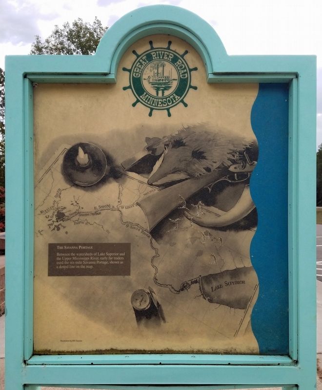
The Great River Road is the longest scenic byway in the nation, stretching nearly 3,000 miles through ten states from the Mississippi River's headwaters in Minnesota to the Gulf of Mexico. For thousands of years, the . . . — — Map (db m199537) HM
The history of Minnesota is replete with stories of boomtowns becoming ghost towns. Sometimes their demise was caused by national or historical shifts in markets, such as the fading of the fur trade or the bottoming out of the wheat market. Other . . . — — Map (db m199637) HM
Lake Pepin's Shell Game
Celebrated today as a resort area, Lake Pepin had an earlier fame as a clamming center. In the late 1800s and early 1900s, more than 500 clammers worked the lake from their flat-bottomed johnboats, using giant . . . — — Map (db m51948) HM
Long before a paved highway ran past this spot, there was an important road here: the Red River Trail. From the late 1830s through the early 1870s, thousands of heavy wood carts bearing furs and other treasures passed over the trail from the . . . — — Map (db m212343) HM
The Minnesota State Reformatory for Men was constructed in stages from 1889 to 1922. The facility, designed to hold 1,000 inmates, was originally a prison for young offenders, 16 to 30 years old, with the intent of transforming them into productive . . . — — Map (db m212542) HM
Ten thousand years ago, as the Ice Age was drawing to a close, Wisconsin's fast-flowing Chippewa River carried vast quantities of sand. But where the Chippewa entered the Mississippi, ten miles downstream from here, its current slowed and the . . . — — Map (db m52074) HM
This was once one of the busiest stretches on the Upper Mississippi River. Between 1830 and 1915, lumber companies in western Wisconsin floated millions of pine logs and pieces of cut lumber down the Chippewa River, which enters the Mississippi . . . — — Map (db m52718) HM
Front
Ever since Americans recognized the Upper Mississippi River's potential as a transportation route, they have been trying to improve it for commercial navigation. One such improvement, Lock and Dam No.7, is visible from this . . . — — Map (db m140974) HM