In 1937, the Chicago’s Charter Jubilee celebrated the Windy City’s 100th year as a city. That year, the Charter Jubilee committee commissioned 78 historical markers to be placed around the city at sites important to the city’s history. More than 85 years later, only about 20 of these plaques remain—the others lost to history for a variety of reasons.
By Sean Flynn, November 4, 2023
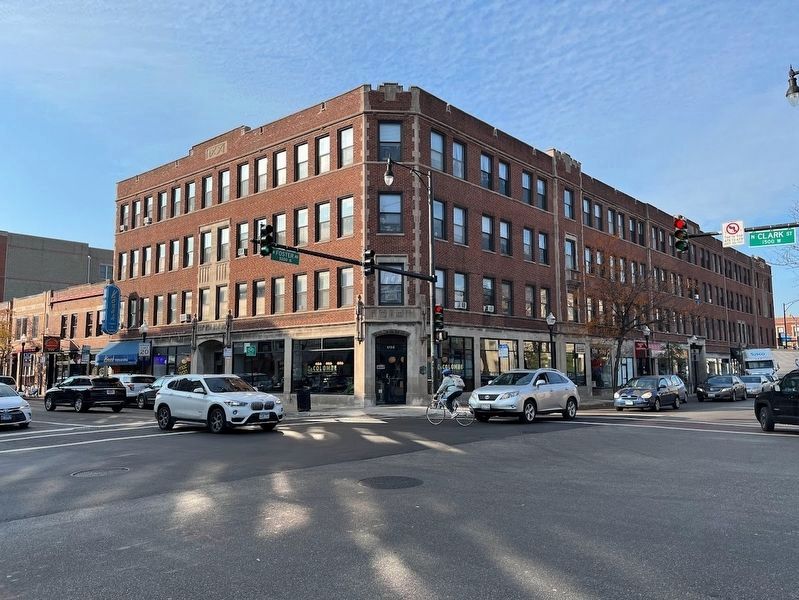
Site of Andersonville School (5158 N. Clark, Chicago)
On this site stood the Andersonville School in the northeastern corner of the sub-division called Andersonville. Here in 1857 arrangements were made for the township's first election.
Erected by
Chicago's Charter Jubilee . . . — — Map (db m235664) HM
The tree which stood here until 1933, marked the Northern Boundary of the Fort Dearborn Reservation, the trail to Lake Geneva, the center of Billy Caldwell’s (Chief Sauganash) Reservation, and the site of the Indian Treaty of 1835. — — Map (db m55577) HM
Here in 1874, was built Lake View High School, one of the first township schools in Illinois. Erected in accordance with legislation enacted by General Assembly of 1872
Erected by Chicago’s Charter Jubilee
Authenticated by Chicago Historical . . . — — Map (db m47456) HM
On this site stood John N. Hills' residence, which boasted one of the three telephones of Lake View's first telephone system. The others were in the Town Hall and Pause's Saloon.
Erected by
Chicago's Charter Jubilee
Authenticated by Chicago . . . — — Map (db m235726) HM
From this point, the Green Bay Road ran northwesterly to Clark Street and North Avenue, and followed Clark Street’s present route to the vicinity of Peterson Avenue. This road connected Fort Dearborn with Fort Howard, Green Bay, Wisconsin.
Erected . . . — — Map (db m66624) HM
Clark Street honors George Rogers Clark, whose brother, William Clark, with Ninian Edwards and Auguste Chouteau, in 1816 negotiated Indian treaty ceding land including Chicago site from Rogers Avenue to Lake Calumet.
This water tower, completed in 1869, marks establishment of Chicago’s second water works. Although most other buildings of pumping system were burned it stands as a principal memorial of 1871’s great fire.
Erected by
Chicago’s Charter . . . — — Map (db m47576) HM
On this site about 1834, Gurdon S. Hubbard built Chicago’s first warehouse for storing pork and other pioneer produce. Because of its size and substantial construction early skeptics called the building "Hubbard’s Folly." — — Map (db m47692) HM
Near this site in 1833, the log store of John S.C. Hogan, was this section’s only post office, serving settler from miles around. Eastern mail was delivered once a week from Niles, Michigan.
Erected by
Chicago’s Charter Jubilee
Authenticated . . . — — Map (db m47724) HM
On this site, then the lake shore, Jean Baptiste Beaubien, Chicago's second civilian, in 1817, built a “mansion” to which he brought his bride, Josette LaFramboise. It remained their home until 1845. — — Map (db m72205) HM
This was Chicago’s main business street in 1834, connecting the village with Fort Dearborn. Years before this also was the site of a trading post with the Indians.
Erected by
Chicago’s Charter Jubilee
Authenticated by Chicago Historical . . . — — Map (db m47691) HM
Philip Rogers, born in Ireland, came to Rogers Park about 1834 and bought 1600 acres from the government. First lived in a log house at Lunt and Western Avenues. Died in 1856. Village named after him in 1844. — — Map (db m68565) HM