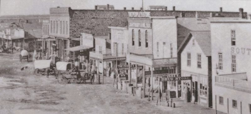
In the 1800s, the Santa Fe Trail was the Interstate-70 of the American West, and Conestoga wagons were its freight-hauling tractor trailers. Between 1822 and 1879, the trail was a commercial thoroughfare between Missouri and Santa Fe, guiding . . . — — Map (db m302743) HM
We set out at the ushal time and at 8 miles West We passed point of Red Rocks about 600 yds from the river and at Eleven miles crossed the paney River….Some Cottenwood on the Banks and Some Bushis. the Red Rock is evidently a volcanic production . . . — — Map (db m64249) HM
The Arkansas River is one of America's iconic rivers, coursing 1,469 miles before merging with the Mississippi River. Here in central Kansas, its steady east-southeast flow is interrupted by a wide northward sweep called the “great bend.” The city . . . — — Map (db m302599) HM
Combine major drought, high summer temperatures, too much land under cultivation, and strong prairie winds. Throw in rock-bottom wheat prices and the Great Depression, and you have the recipe for the Dirty Thirties.
In the 1930s, winds . . . — — Map (db m95850) HM
Near midnight, on October 12, 1806, Lieutenant Zebulon Pike and his exploring party, headed to the Rockies, reached the Arkansas River just south of here. The explorers camped by the river for two weeks to rest their animals and lay in a . . . — — Map (db m95732) HM
Side A
Lamar is distinguished as the birthplace of Harry S. Truman, the 33rd President of the United States. The son of John Anderson Truman and Martha Ellen (Young) Truman, he was born May 8, 1884. The family moved to Harrisonville in Cass . . . — — Map (db m42286) HM
Thin black lines indicate changes in relevance. Between each pair of lines entries are ordered geographically but all have the same relevance.
* Inflectional forms of words are their plurals, singulars, and possessives as well as gramatical tenses and similar variations.