2 entries match your criteria.
Entries Containing All of the Phrases «knox county» AND «maine»
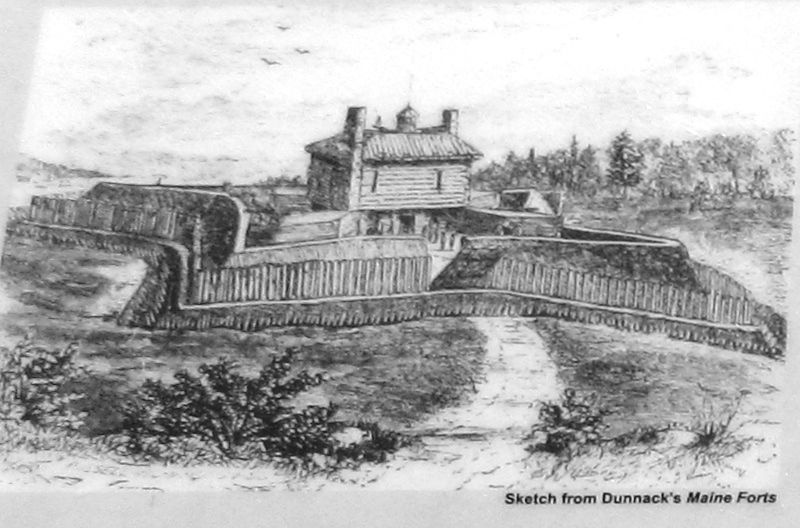
Marker detail: Fort Pownall
RANKED BY RELEVANCE
1 ► Maine, Waldo County, Stockton Springs — Fort Pownall, 1759-1775 —  |
| In 1759, Massachusetts Governor Thomas Pownall sought to plug the mouths of Maine's key rivers so as to keep the French and Indians well inland. In January 1758, he wrote to William Pitt, Prime Minister of England about the advantages of this site, . . . — — Map (db m170846) HM | |||
| 2 ► Maine, Knox County, Thomaston — Thomaston Historical Timeline — |
| 1605 Capt. Geo. Waymouth explores and names the St. Georges River 1630 To trade with Indians native to area post built near Wadsworth St. Bridge 1692 St. Georges River is boundary between the French and English territories . . . — — Map (db m55475) HM | |||
Thin black lines indicate changes in relevance. Between each pair of lines entries are ordered geographically but all have the same relevance.
* Inflectional forms of words are their plurals, singulars, and possessives as well as gramatical tenses and similar variations.
Nov. 12, 2026