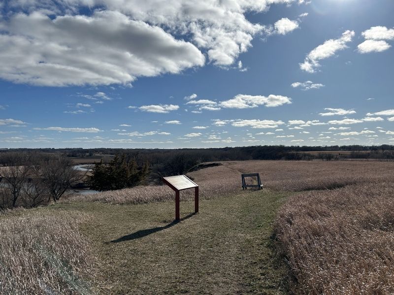
Near 480th Avenue (County Highway 135) 0.2 miles south of 269th Street (County Highway 102).
Brrrrrr! It would have been a chilly day 14,000 years ago. South Dakota was nearing the end of the last Ice Age and most of Lincoln County was covered by the eastern edge of a glacier, a massive sheet of ice that bulldozed across the landscape. . . . — — Map (db m244198) HM
On 479th Avenue (State Highway 11) at 301st Street, on the right when traveling north on 479th Avenue.
Archie M. Gubbrud was born December 31, 1910, the eldest son of Marius T. Gubbrud and Ella Rommereim Gubbrud at his parental farm home in Norway Township, Lincoln County. He was brought up on this farmstead with a post office address of Alcester, . . . — — Map (db m189890) HM
On Federal Route 12 0.2 miles W. 7th Street, on the right when traveling west.
Born at Arendal, Norway, January 22, 1904, and came to the United States when three years old, settling in Lincoln County near Canton. Taught history and speech at Webster High School, 1932 to 1935. Completed law course at University of South Dakota . . . — — Map (db m179945) HM
On North Broadway Street at East 4th Street, on the right when traveling south on North Broadway Street.
Whereas, the Honorable John J. (Jack) Fox, Mayor of the City of Canton, South Dakota, has served the community of Canton in many ways, thus resulting long ago in Mayor Fox being designated citizen of the year in the City of Canton; and . . . — — Map (db m227911) HM
On 479th Avenue (State Highway 11) at 301st St, on the right when traveling north on 479th Avenue.
Camp SCS-3 (DPE-211 in 1934): located in city park of NE Alcester. Companies: 2746--8/3-10/1/34 & 6/27/35-8/14/41; 4725V--8/15/41 - 5/27/42.
The Civilian Conservation Corps was a federal work - relief program during the Great Depression. . . . — — Map (db m190163) HM
On West 18th Street (State Highway 57) at North Adams Street, on the right when traveling west on West 18th Street.
Section 1 Top Tablet United States Army The Chief of Staff October 27, 2000 The Junction City - Fort Riley Community and the Buffalo Soldiers I would like to take this opportunity to congratulate the Junction City-Fort Riley community . . . — — Map (db m44250) HM
Panel 1
Arriba
In frontier Arriba (locally pronounced "AIR-uh-buh"), the only thing
more scarce than water was whiskey. Charles Creel, who founded
the town in 1888 to greet the advancing Chicago, Rock Island &
Pacific . . . — — Map (db m89381) HM
Thin black lines indicate changes in relevance. Between each pair of lines entries are ordered geographically but all have the same relevance.
* Inflectional forms of words are their plurals, singulars, and possessives as well as gramatical tenses and similar variations.