Springdale Township near Sioux Falls in Lincoln County, South Dakota — The American Midwest (Upper Plains)
A Landscape Shaped by Glaciers
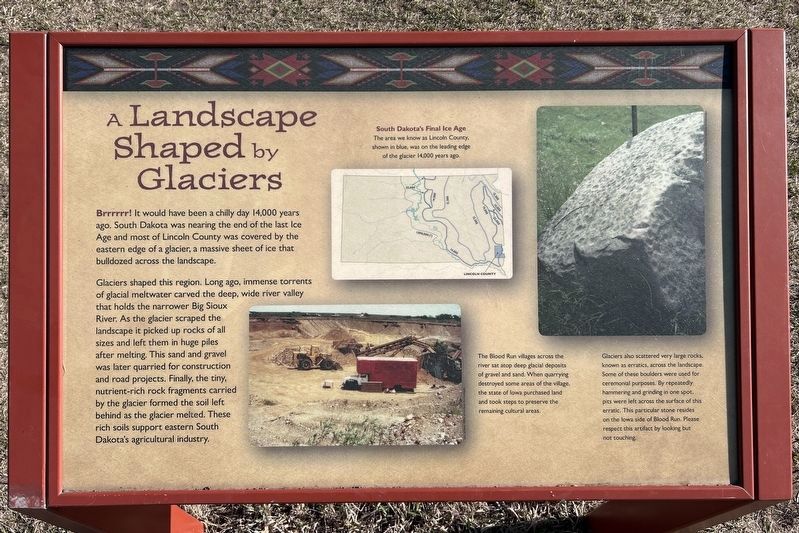
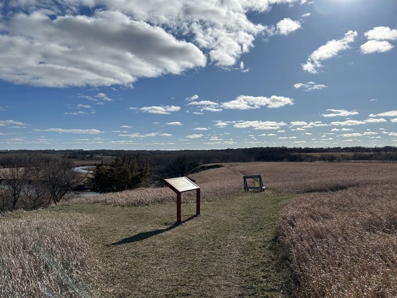
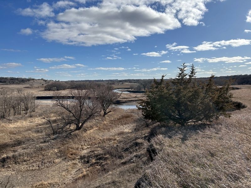
Glaciers shaped this region. Long ago, immense torrents of glacial meltwater carved the deep, wide river valley that holds the narrower Big Sioux River. As the glacier scraped the landscape it picked up rocks of all sizes and left them in huge piles after melting. This sand and gravel was later quarried for construction and road projects. Finally, the tiny, nutrient-rich rock fragments carried by the glacier formed the soil left behind as the glacier melted. These rich soils support eastern South Dakota's agricultural industry.
South Dakota's Final Ice Age
The area we know as Lincoln County, shown in blue, was on the leading edge of the glacier 14,000 years ago.
The Blood Run villages across the river sat atop deep glacial deposits of gravel and sand. When quarrying destroyed some areas of the village, the state of Iowa purchased land and took steps to preserve the remaining cultural areas.
Glaciers also scattered very large rocks, known as erratics, across the landscape. Some of these boulders were used for ceremonial purposes. By repeatedly hammering and grinding in one spot, pits were left across the surface of this erratic. This particular stone resides on the Iowa side of Blood Run. Please respect this artifact by looking but not touching.
Topics. This historical marker is listed in these topic lists: Anthropology & Archaeology • Environment • Native Americans • Waterways & Vessels.
Location. 43° 28.03′ N, 96° 35.37′ W. Marker is near Sioux Falls, South Dakota, in Lincoln County. It is in Springdale Township. Marker can be reached from 480th Avenue (County Highway 135) ¼ mile south of 269th Street (County Highway 102). Located along the River Trail in Good Earth State Park. Touch for map. Marker is at or near this postal address: 26924 480th Ave, Sioux Falls SD 57108, United States of America. Touch for directions.
Other nearby markers. At least 8 other markers are within walking distance of this marker. Looking Into the Past (approx. 0.6 miles away); Bow Hunting (approx. 0.6 miles away); A Trading Center (approx. 0.7 miles away); Sacred Images (approx. ¾ mile away); 1300s (approx. ¾ mile away); 1600s (approx. ¾ mile away); 1714 (approx. ¾ mile away); 1870s (approx. ¾ mile away). Touch for a list and map of all markers in Sioux Falls.
Credits. This page was last revised on April 2, 2024. It was originally submitted on April 2, 2024. This page has been viewed 54 times since then. Photos: 1, 2, 3, 4. submitted on April 2, 2024.


