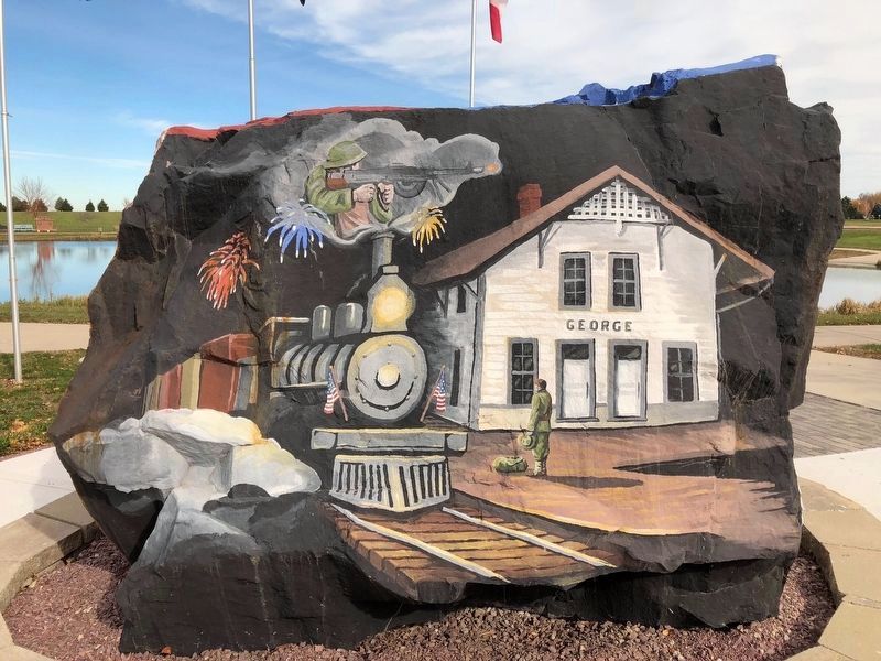
The city of Lester was platted by William Thomas and his wife Mary, on Nov. 8, 1889. It is located on the southwest quarter of section 36, township 100, range 47. The town became a key shipping point for this farming community due to the railroad . . . — — Map (db m232736) HM
"Today we work the land, or perhaps we should say the land works for us. It grows our food, supports our building, provides row materials for our industries, absorbs our wastes, and stores our water supplies. Therefore, we need to understand . . . — — Map (db m136524) HM
Prehistoric hunter-gatherers traveled these hills more than 13,000 years ago, finding all they needed to sustain their nomadic bands. They were followed by Archaic and Woodland cultures, which formed more permanent camps and cultivated crops. . . . — — Map (db m136492) HM
This area, where Blood Run Creek passes on its way to the Big Sioux River, was inhabited by Native Americans between 1300 and 1750, as many as 4,000 Oneota Indians lived on the fertile prairie. European explorers and traders arrived in the late . . . — — Map (db m211368) HM
This property has been
placed on the
National Register
of Historic Places
by the United States
Department of the Interior
Circa 1923
——————
[Builder's Plate reads]
126 Ft Span
Rainbow . . . — — Map (db m49805) HM
1859
Set at the junction of the states of Minnesota, Iowa and Dakota Territory by the Federal Land Office survey of Minnesota 's western boundary.
Early 1900's
Removed after partial destruction by vandals.
1938
Repaired . . . — — Map (db m184713) HM
Thin black lines indicate changes in relevance. Between each pair of lines entries are ordered geographically but all have the same relevance.
* Inflectional forms of words are their plurals, singulars, and possessives as well as gramatical tenses and similar variations.