3 entries match your criteria.
Entries Containing All of the Phrases «webster county» AND «missouri»
By Duane and Tracy Marsteller, April 7, 2025
Trail of Tears Marker
RANKED BY RELEVANCE
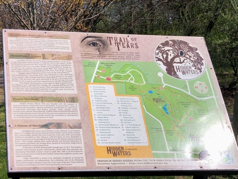
1 ► Missouri, Webster County, Marshfield — Trail of Tears —  |
| In the winter of 1838-1839, ten groups of the Cherokee Nation utilized the valuable water resources from this park's fourteen springs. Hidden Waters Nature Park is a verified trail segment of the Trail of Tears. About Hidden Waters Nature . . . — — Map (db m271502) HM | |||
| 2 ► Missouri, Webster County, Marshfield — Webster County — |
| Webster County, organized March 3, 1855, encompasses 590 sq. miles of the highest extensive upland area of Missouri’s Ozarks. The judicial seat, Marshfield, lies 1490 feet above sea level, highest county seat in Mo. Pioneer legislator John F. . . . — — Map (db m99606) HM | |||
| 3 ► Nebraska, Webster County, Red Cloud — 108 — Red Cloud — 1871 — 1971 — |
| Red Cloud, named for the Oglala Sioux chief, was founded early in 1871 on homestead land filed upon by Silas Garber and company July 17, 1870, at Beatrice, the nearest land office. It is one of the oldest communities in the Republican Valley. When . . . — — Map (db m77975) HM | |||
Thin black lines indicate changes in relevance. Between each pair of lines entries are ordered geographically but all have the same relevance.
* Inflectional forms of words are their plurals, singulars, and possessives as well as gramatical tenses and similar variations.
Nov. 12, 2026