Sioux Falls in Minnehaha County, South Dakota — The American Midwest (Upper Plains)
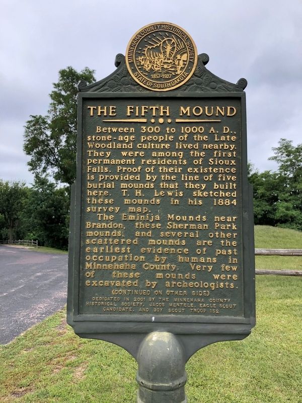
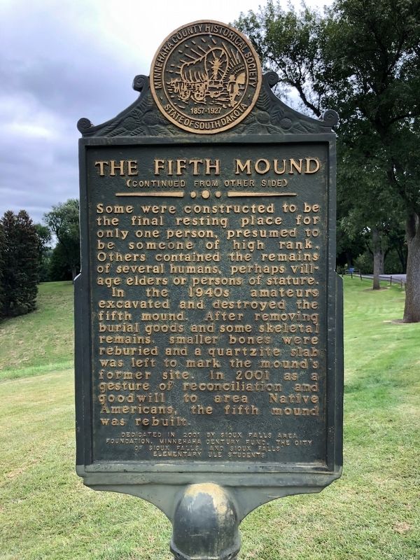
The Fifth Mound
Side 1
Between 300 to 1000 A.D., stone-age people of the Late Woodland culture lived nearby. They were among the first permanent residents of Sioux Falls. Proof of their existence is provided by the line of five burial mounds that they built here. T.H. Lewis sketched these mounds in his 1884 survey map.
The Eminija Mounds near Brandon, these Sherman Park mounds, and several other scattered mounds are the earliest evidence of past occupation by humans in Minnehaha County. Very few of these mounds were excavated by archeologists.
Side 2
Some were constructed to be the final resting place for only one person, presumed to be someone of high rank. Others contained the remains of several humans, perhaps village elders or persons of stature.
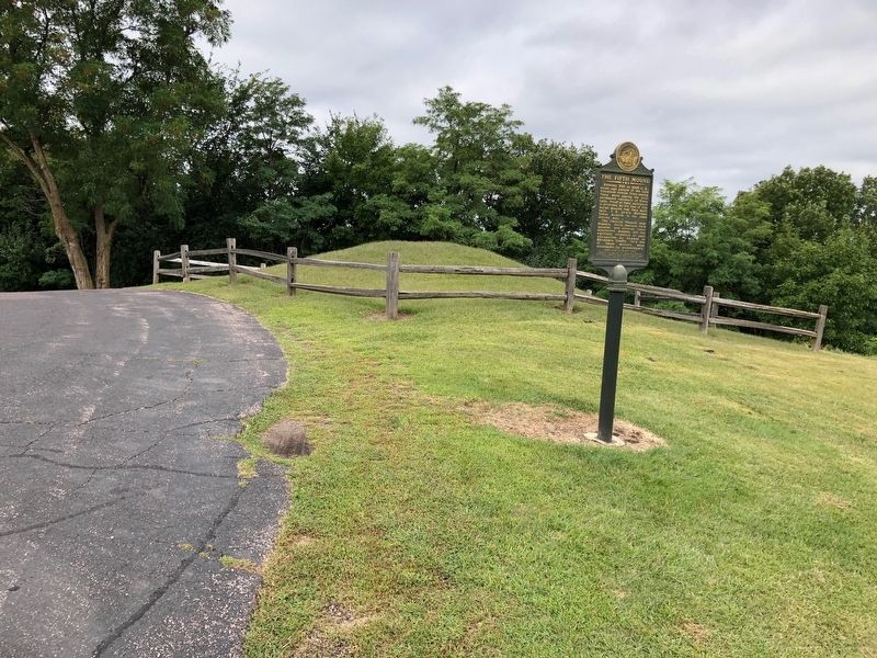
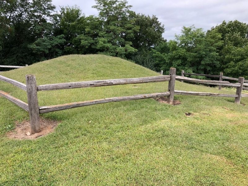
In the 1940s amateurs excavated and destroyed the fifth mound. After removing burial goods and some skeletal remains, smaller bones were reburied and a quartzite slab was left to mark the mound's former site. In 2001 as a gesture of reconciliation and goodwill to area Native Americans, the fifth mound was rebuilt.
Erected 2001 by Sioux Falls Area Foundation, Minnehaha Century Fund, The City of Sioux Falls, Sioux Falls Elementary Students, Minnehaha County Historical Society, Jacob Mentele, Eagle Scout Candidate, and Boy Scout Troop 152.
Topics. This historical marker is listed in these topic lists: Anthropology & Archaeology • Cemeteries & Burial Sites • Man-Made Features • Native Americans.
Location. 43° 32.092′ N, 96° 45.798′ W. Marker is in Sioux Falls, South Dakota, in Minnehaha County. Marker is located in Sherman Park. Touch for map. Marker is at or near this postal address: 3410 W 22nd Street, Sioux Falls SD 57105, United States of America. Touch for directions.
Other nearby markers. At least 8 other markers are within walking distance of this marker. Ceremonial Dance Circle (about 300 feet away, measured in a direct line); 500 A.D. Copper Knife (about 300 feet away); Linear Mound (about 300 feet away); Sherman Park Indian Burial Mounds (about 300 feet away); Earth-Hut Villages (about 400 feet away); The Big Slide (about 600 feet away); Sherman Park (about 600 feet away); Mound Builders Village (about 600 feet away). Touch for a list and map of all markers in Sioux Falls.
Credits. This page was last revised on September 19, 2019. It was originally submitted on September 19, 2019, by Ruth VanSteenwyk of Aberdeen, South Dakota. This page has been viewed 501 times since then and 72 times this year. Photos: 1, 2, 3, 4. submitted on September 19, 2019, by Ruth VanSteenwyk of Aberdeen, South Dakota. • Andrew Ruppenstein was the editor who published this page.


