Boulder City in Clark County, Nevada — The American Mountains (Southwest)
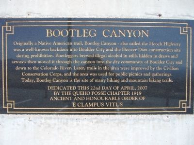
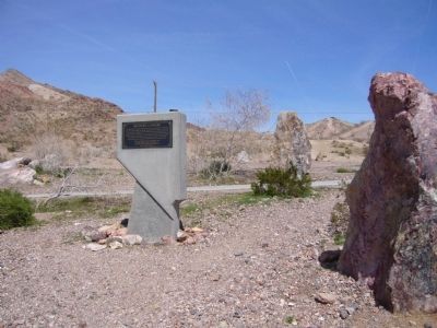
Bootleg Canyon
Erected 2007 by Queho Posse Chapter 1919, E Clampus Vitus.
Topics and series. This historical marker is listed in these topic lists: Charity & Public Work • Native Americans • Parks & Recreational Areas • Roads & Vehicles • Waterways & Vessels. In addition, it is included in the Civilian Conservation Corps (CCC), and the E Clampus Vitus series lists.
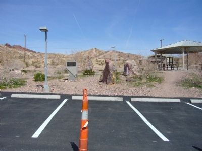
Location. 35° 59.033′ N, 114° 51.727′ W. Marker is in Boulder City, Nevada, in Clark County. Marker is on Canyon Road, 0.6 miles north of Industrial Road, on the right when traveling north. Touch for map. Marker is in this post office area: Boulder City NV 89005, United States of America. Touch for directions.
Other nearby markers. At least 8 other markers are within 2 miles of this marker, measured as the crow flies. McKeeversville, Boulder City's Predecessor (approx. 1.1 miles away); TWA Terminal Building (approx. 1.1 miles away); Hoover Dam Memorial (approx. 1.4 miles away); Frank T. Crowe (approx. 1.4 miles away); “Rag Town Goddess” (approx. 1.4 miles away); Alabam (approx. 1.4 miles away); Puddler's Break (approx. 1.4 miles away); “Hitchin’ a Ride” (approx. 1.4 miles away). Touch for a list and map of all markers in Boulder City.
Credits. This page was last revised on January 20, 2020. It was originally submitted on March 30, 2010, by Bill Kirchner of Tucson, Arizona. This page has been viewed 1,530 times since then and 73 times this year. Photos: 1, 2, 3. submitted on March 30, 2010, by Bill Kirchner of Tucson, Arizona. • Syd Whittle was the editor who published this page.


