Fredericksburg, Virginia — The American South (Mid-Atlantic)
Encounter at the Fall Line
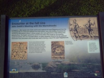
John Smith's meeting with the Mannahoacks
Erected by Chesapeake Bay Gateways Network.
Topics. This historical marker is listed in these topic lists: Colonial Era • Native Americans • Settlements & Settlers • Waterways & Vessels. A significant historical year for this entry is 1608.
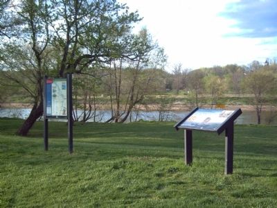
Location. 38° 19.096′ N, 77° 28.058′ W. Marker has been reported damaged. Marker is in Fredericksburg, Virginia. Marker can be reached from Caroline Street, on the right when traveling north. Marker is in Old Mill Park. Touch for map. Marker is at or near this postal address: 2201 Caroline St, Fredericksburg VA 22401, United States of America. Touch for directions.
Other nearby markers. At least 8 other markers are within walking distance of this location. A History of Floods (about 600 feet away, measured in a direct line); Bound for Freedom (about 700 feet away); Shelton Cottage (approx. 0.2 miles away); Killed in Action Memorials (approx. 0.2 miles away); Veterans of Foreign Wars Eternal Flame (approx. 0.2 miles away); Freedom Began Here (approx. 0.2 miles away); Anthony Burns (approx. 0.2 miles away); Moncure Daniel Conway (approx. 0.2 miles away). Touch for a list and map of all markers in Fredericksburg.
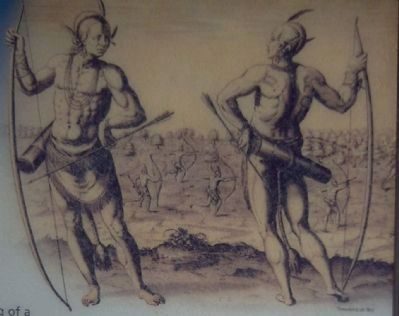
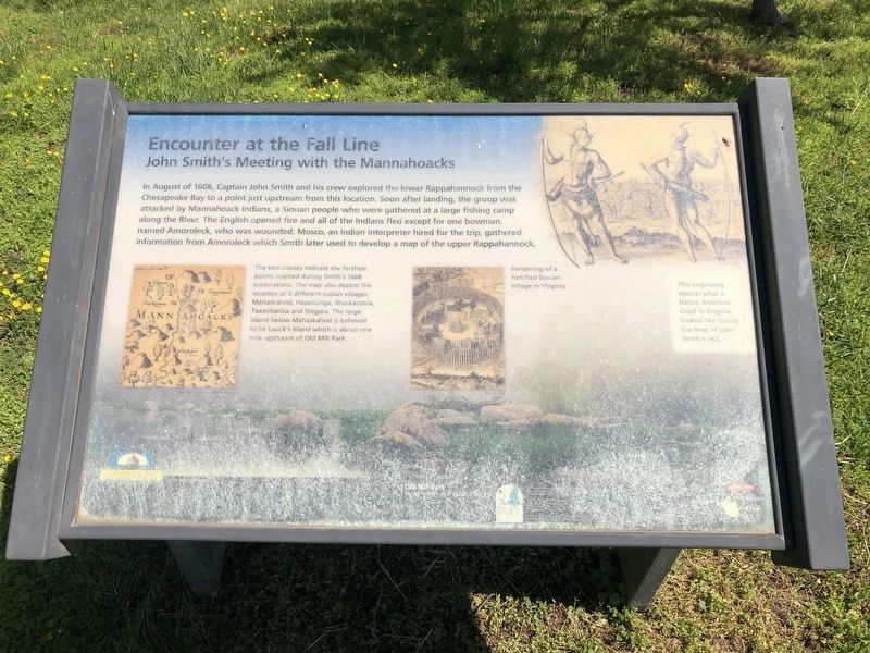
More about this marker. In the upper right of the marker is a photograph of an engraving that "depicts what a Native American Chief in Virginia looked like during the time of John Smith's visit."
In the middle of the marker is a, "Rendering of a fortified Siouan village in Virginia."
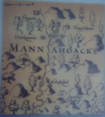
On the left of the marker is an early area map image provided for the marker courtesy of the Smithsonian Institution. Its caption reads, "The two crosses indicate the farthest points reached during Smith's 1608 explorations. The map also depicts the locations of 5 different Indian villages: Mahaskahod, Hassniunga, Shackaconia, Taxsnitanita and Stegara. The large island below Mahaskahod is believed to be Lauck's Island which is about one mile upstream of Old Mill Park.
Also see . . . Chesapeake Bay Gateways Network. The Chesapeake Bay Gateways Network is responsible for placing this marker. (Submitted on May 7, 2008, by Kevin W. of Stafford, Virginia.)
Photographed By Devry Becker Jones (CC0), May 2, 2020
5. Encounter at the Fall Line Marker
The marker has weather damage.
Credits. This page was last revised on February 2, 2023. It was originally submitted on May 7, 2008, by Kevin W. of Stafford, Virginia. This page has been viewed 1,561 times since then and 22 times this year. Photos: 1, 2, 3, 4. submitted on May 7, 2008, by Kevin W. of Stafford, Virginia. 5. submitted on May 3, 2020, by Devry Becker Jones of Washington, District of Columbia.
