Bagdad in Santa Rosa County, Florida — The American South (South Atlantic)
Submerged Aquatic Vegetation
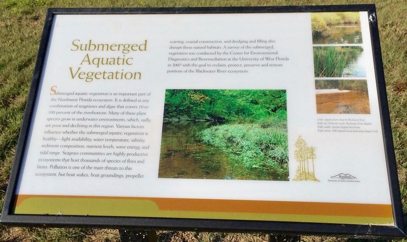
Submerged aquatic vegetation is an important part of the Northwest Florida ecosystem. It is defined as any combination of seagrasses and algae that covers 10 to 100 percent of the riverbottom. Many of these plant species grow in underwater environments, which, sadly are poor and declining in this region. Various factors influence whether the submerged aquatic vegetation is healthy light availability water temperature, salinity sediment composition, nutrient levels, wave energy and tidal range. Seagrass communities are highly productive ecosystems that host thousands of species of flora and fauna. Pollution is one of the main threats to this ecosystem, but boat wakes, boat groundings, propeller scarring, coastal construction, and dredging and filling also disrupt these natural habitats. A survey of the submerged vegetation was conducted by the Center for Environmental Diagnostics and Bioremediation at the University of West Florida in 2007 with the goal to reclaim, protect, preserve and restore portions of the Blackwater River ecosystem.
Captions:
Center: Aquatic plants along the Blackwater River
Right, top: Freshwater marsh, Blackwater River, Bagdad
Right, middle: Shoreline Bagdad Boat Ramp
Right, bottom: Well vegetated stream bank along Juniper Creek
Erected 2016 by Bagdad Waterfronts Florida Partnership, Inc.
Topics. This historical marker is listed in these topic lists: Environment • Natural Features • Science & Medicine • Waterways & Vessels. A significant historical year for this entry is 2007.
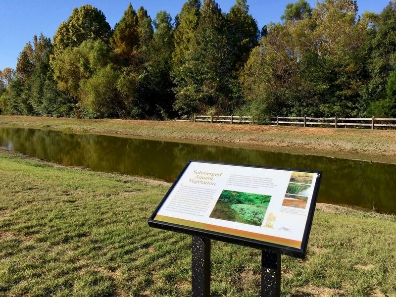
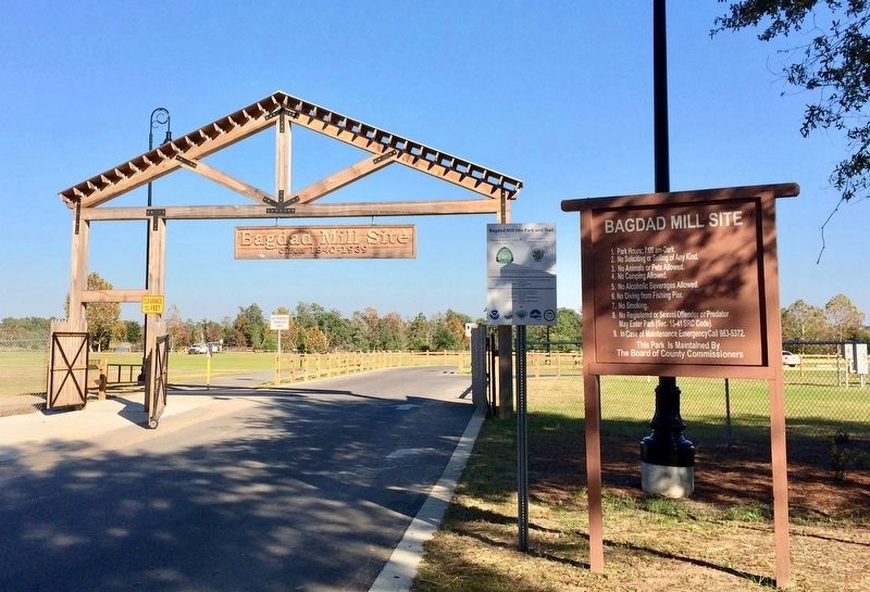
Location. 30° 36.334′ N, 87° 1.941′ W. Marker is in Bagdad, Florida, in Santa Rosa County. Marker can be reached from Main Street, 0.1 miles east of Forsyth Street. Located within the Bagdad Mill Site Park. Touch for map. Marker is at or near this postal address: 6953 Main Street, Bagdad FL 32530, United States of America. Touch for directions.
Other nearby markers. At least 8 other markers are within walking distance of this marker. Working for the Company (a few steps from this marker); Animals Along the Blackwater River (within shouting distance of this marker); Bagdad After the Mill (within shouting distance of this marker); Bagdad Mill Site Park (about 300 feet away, measured in a direct line); The Architecture of Bagdad (about 300 feet away); Bagdad Lumber Mill / Shipbuilding at Bagdad (about 300 feet away); The Ecology of the Blackwater River (about 400 feet away); The Early History of Bagdad (about 500 feet away). Touch for a list and map of all markers in Bagdad.
Credits. This page was last revised on June 20, 2018. It was originally submitted on December 8, 2016, by Mark Hilton of Montgomery, Alabama. This page has been viewed 292 times since then and 7 times this year. Photos: 1, 2, 3. submitted on December 8, 2016, by Mark Hilton of Montgomery, Alabama.


