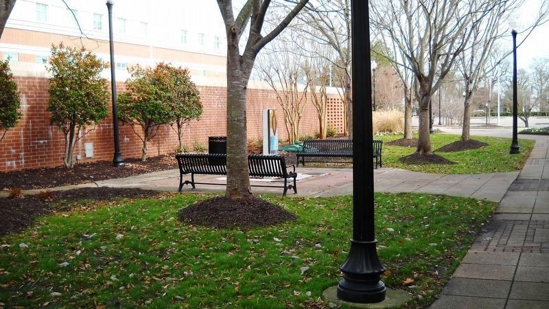
Suffolk, Virginia — The American South (Mid-Atlantic)
Obici-Oderzo Fountain Marker
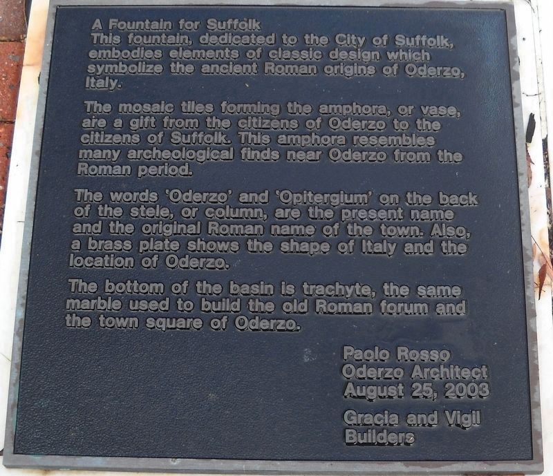
A Fountain for Suffolk
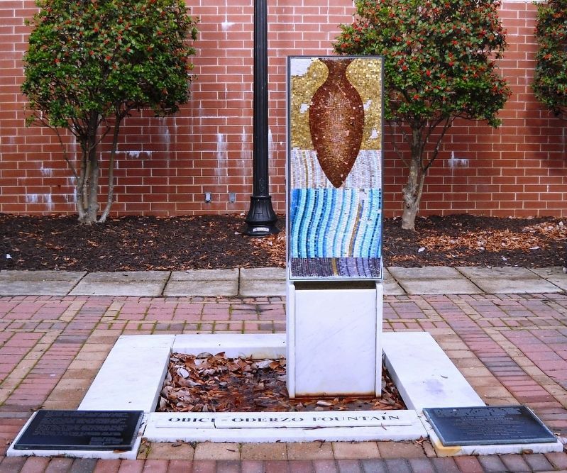
This fountain, dedicated to the City of Suffolk, embodies elements of classic design which symbolize the ancient Roman origins of Oderzo, Italy.
The mosaic tiles forming the amphora, or vase, are a gift from the citizens of Oderzo to the citizens of Suffolk. This amphora resembles many archeological finds near Oderzo from the Roman period.
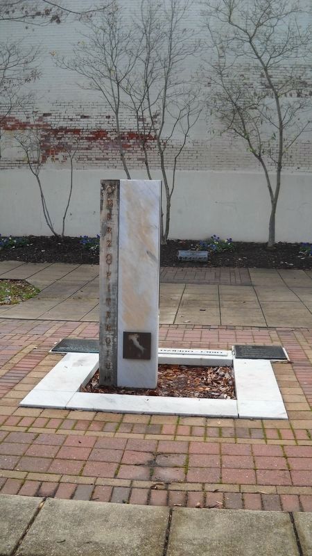
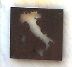
The words ‘Oderzo’ and ‘Opitergium’ on the back of the stele, or column, are the present name and original Roman name of the town. Also, a brass plate shows the shape of Italy and the location of Oderzo.
The bottom of the basin is trachyte, the same marble used to build the old Roman forum and the town square of Oderzo.
Paolo Rosso
Oderzo Architect
August 25, 2003
Gracia and Vigil
Builders
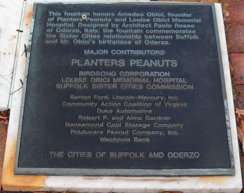
This fountain honors Amedeo Obici, founder of Planters Peanuts and Louise Obici Memorial Hospital. Designed by Architect Paolo Rosso of Oderzo, Italy, the fountain commemorate the Sister Cities relationship between Suffolk and Mr. Obici's birthplace of Oderzo.
Erected 2003 by Suffolk Sister Cities Commission.
Topics. This historical marker is listed in these topic lists: Anthropology & Archaeology • Architecture • Industry & Commerce • Man-Made Features • Science & Medicine. A significant historical date for this entry is August 23, 2003.
Location. 36° 43.725′ N, 76° 34.951′ W. Marker is in Suffolk, Virginia. Marker can be reached from North Main Street. The commemorative plaques and fountain are about midway of Courthouse Park on the right side of North Main Street when headed north through downtown Suffolk, Virginia. They stand in proximity to the Mills E. Godwin Courts Building (typically referred to as Godwin Courts Building) at 150 North Main Street. Touch for map. Marker is at or near this postal address: 150 North Main Street, Suffolk VA 23434, United States of America. Touch for directions.
Other nearby markers. At least 8 other markers are within walking distance of this marker. Old City Hall Bell (within shouting distance of this marker); President's Days Plaque (about 300 feet away, measured in a direct line); Mr. Peanut (approx. 0.2 miles away); Safe Haven (approx. 0.3 miles away); Booker T. Washington High School (approx. 0.3 miles away); Civil War Militia of Suffolk and Nansemond County (approx. 0.4 miles away); World War II Memorial (approx. 0.4 miles away); Korea and Vietnam Wars Memorial (approx. 0.4 miles away). Touch for a list and map of all markers in Suffolk.
Photographed By Cynthia L. Clark, January 1, 2017
2. Adjacent Obici-Oderzo Fountain Marker
Planters Peanuts
Birdsong Corporation
Louise Obici Memorial Hospital
Suffolk Sister Cities Commission
Barton Ford, Lincoln-Mercury, Inc.
Community Action Coalition of Virginia
Duke Automotive
Robert P. and Alma Gardner
Nansemond Cold Storage Company
Producers Peanut Company, Inc.
Wachovia Bank
The Cities of Suffolk and Oderzo
Credits. This page was last revised on February 1, 2023. It was originally submitted on January 18, 2017, by Cynthia L. Clark of Suffolk, Virginia. This page has been viewed 537 times since then and 44 times this year. Photos: 1, 2, 3, 4, 5, 6. submitted on January 18, 2017, by Cynthia L. Clark of Suffolk, Virginia. • Kevin W. was the editor who published this page.
