Williamsburg, Virginia — The American South (Mid-Atlantic)
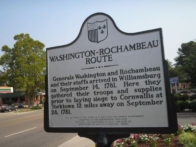
Washington–Rochambeau Route
Generals Washington and Rochambeau and their staffs arrived in Williamsburg on September 14, 1781. Here they gathered their troops and supplies prior to laying siege to Cornwallis at Yorktown 12 miles away on September 28, 1781.
Committee of the Bicentennial 1776-1976.
(Original sign destroyed in 2000, replaced by
Department of Historic Resources, 2004)
Erected 2004 by Department of Historic Resources.
Topics and series. This historical marker is listed in these topic lists: Military • Notable Events • War, US Revolutionary. In addition, it is included in the Former U.S. Presidents: #01 George Washington, and the The Washington-Rochambeau Route series lists. A significant historical month for this entry is September 1862.
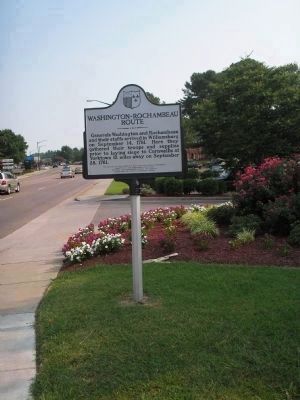
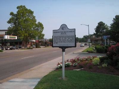
Location. 37° 17.98′ N, 76° 43.652′ W. Marker is in Williamsburg, Virginia. Marker is on Richmond Road (U.S. 60), on the right when traveling east. Touch for map. Marker is in this post office area: Williamsburg VA 23185, United States of America. Touch for directions.
Other nearby markers. At least 8 other markers are within 2 miles of this marker, measured as the crow flies. Eastern State Hospital (approx. 0.7 miles away); a different marker also named Eastern State Hospital (approx. 0.9 miles away); Eastern State Hospital Therapeutic Labyrinth (approx. 0.9 miles away); Arthur Azo Matsu (approx. 1.9 miles away); First Balloon Flight in Virginia (approx. 1.9 miles away); The First Baptist Church (approx. 2 miles away); a different marker also named First Baptist Church (approx. 2 miles away); MLK Triangle (approx. 2 miles away). Touch for a list and map of all markers in Williamsburg.
Also see . . . The Washington - Rochambeau Trail. Account of the March to Torktown from the Sons of Liberty Chapter, Sons of the American Revolution website. (Submitted on August 10, 2008, by Bill Coughlin of Woodland Park, New Jersey.)
Credits. This page was last revised on February 1, 2021. It was originally submitted on August 10, 2008, by Bill Coughlin of Woodland Park, New Jersey. This page has been viewed 1,866 times since then and 63 times this year. Photos: 1, 2, 3. submitted on August 10, 2008, by Bill Coughlin of Woodland Park, New Jersey.


