Manassas in Prince William County, Virginia — The American South (Mid-Atlantic)
The Matthew Farm
Manassas National Battlefield Park
Photographed by Shane Oliver, February 11, 2017
1. The Matthew Farm Marker
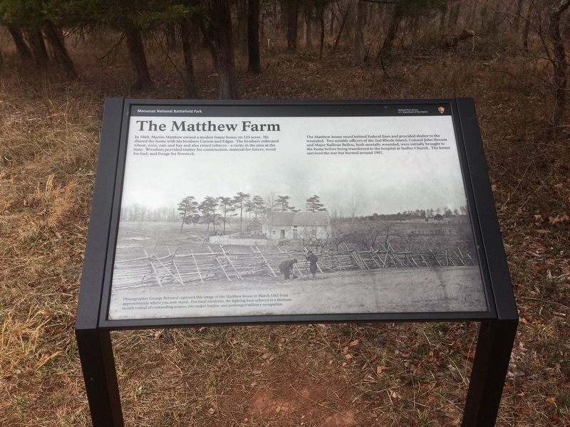
The Matthew house stood behind the Federal lines and provided shelter to the wounded. Two notable officers of the 2nd Rhode Island, Colonel John Slocum and Major Sullivan Ballou, both mortally wounded, were initially brought to the home before being transferred to the hospital at Sudley Church. The house survived the war but burned around 1901.
(caption)
Photographer George Barnard captured this image of the Matthew House in March 1862f from approximately where you now stand. For local residents, the fighting here ushered in a thirteen month ordeal of contending armies, two major battles, and prolonged military occupation.
Erected by National Park Service, U.S. Department of the Interior.
Topics. This historical marker is listed in these topic lists: Military • War, US Civil. A significant historical date for this entry is July 21, 1861.
Location. 38° 49.544′ N,
this page online

Regionally, this marker is in the Washington Metropolitan Area, in Northern Virginia, and in the Piedmont. It is also in the American South, specifically in the Upper South, in the Mid-Atlantic, and on the Eastern Seaboard. Globally, it is in the North Atlantic Region, North America, the Western Hemisphere, the Western World, and the Anglosphere. Historically, it finds itself in what was once the territory of the Mississippian Culture, one of the original Thirteen Colonies, one of the Confederate States of America, and the Antebellum South.
Other nearby markers. At least 8 other markers are within walking distance of this marker: 4th Alabama Infantry (within shouting distance of this marker); Dahlgren Boat Howitzers (about
Photographed by Shane Oliver, February 11, 2017
2. Possible site of the Matthews Farm?
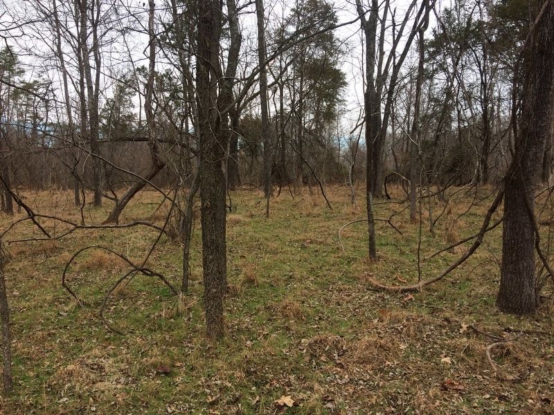
The foundation is the only thing that remains of the Matthews Farm, and according to what I was told by a ranger at the Henry Hill Visitor Center, the foundation is located within the forested area of the Matthews Hill loop trail. I followed the trail and noticed a patch of green (keep in mind I took this photo in February) with a smaller number of trees than usual. I am not 100% on whether or not this is the farmhouse site, but it is very likely.
Chances are that either this is the site of the farmhouse, or the farmhouse foundation is lost in the woodlot - inaccessible from the loop trail.
Also see . . . Manassas National Battlefield Park. National Park Service (Submitted on February 20, 2017.)
Credits. This page was last revised on February 20, 2017. It was originally submitted on February 19, 2017, by Shane Oliver of Richmond, Virginia. This page has been viewed 913 times since then and 56 times this year. Photos: 1, 2. submitted on February 19, 2017, by Shane Oliver of Richmond, Virginia. • Bernard Fisher was the editor who published this page.
