Tulum, Quintana Roo, Mexico — The Yucatan Peninsula (The Southeast)
The Castle
El Castillo
Photographed by J. Makali Bruton, January 16, 2017
1. The Castle Marker
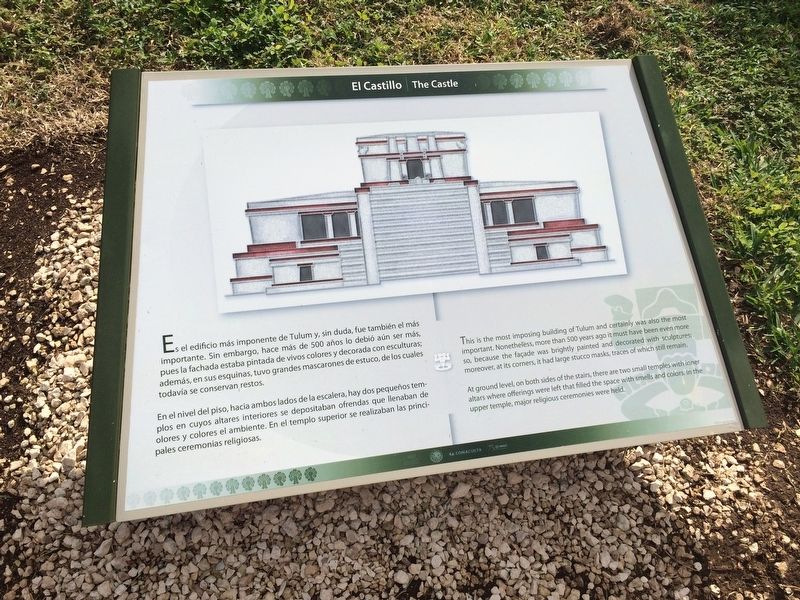
Es el edificio más imponente de Tulum y, sin dude, fue también el más importante. Sin embargo, hace más de 500 años lo debió aún ser más, pues la fachada estaba pintada de vivos colores y decorada con esculturas; además, en sus esquinas, tuvo grandes mascarones de estuvo, de los cuales todavía se conservan restos.
En el nivel del piso, hacia ambos lados de la escalera, hay dos pequeños templos en cuyo altares interiores se depositaban ofrendas que llenaban de olores y colores el ambiente. En el templo superior se realizaban las principales ceremonias religiosas.
English:
This is the most imposing building of Tulum and certainly was also the most important. Nonetheless, more than 500 years ago it must have been even more so, because the façade was brightly painted and decorated with sculptures; moreover, at its corners, it had large stucco masks, traces of which still remain.
At ground level, on both sides of the stairs, there are two small temples with inner altars where offerings were left that filled the space with smells and colors. In the upper temple, major religious ceremonies were held.
Erected by Consejo Nacional
this page online
Topics. This historical marker is listed in these topic lists: Anthropology & Archaeology • Architecture • Indigenous Peoples and Communities • Man-Made Features.
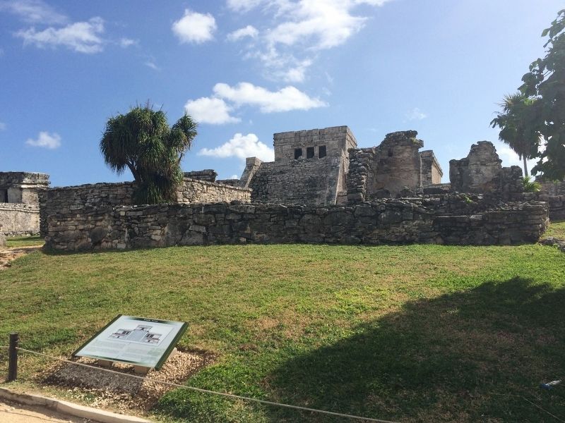
Location. 20° 12.879′ N, 87° 25.763′ W. Marker is in Tulum, Quintana Roo. It can be reached from Carretera Cancún - Tulum (Route 307). The marker is west of "The Castle" (El Castillo) at the Tulum Archaeological Site near the town of Tulum. Touch for map. Marker is in this post office area: Tulum QR 77700, Mexico. Touch for directions.

Regionally, this marker is in the Mexican Maya Heartland and on the Yucatán Peninsula. Globally, it is on the Caribbean Sea, in North America, in Mesoamerica, in a Gulf of Mexico state, and in the Western Hemisphere. Historically, it finds itself in what was once New Spain and also a Spanish colony.
Other nearby markers. At least 6 other markers are within walking distance of this marker: Temple of the Descending God (within shouting distance of this marker); The Temple of the Stela (within shouting distance of this
Photographed by J. Makali Bruton, January 16, 2017
2. The Castle Marker
Public Domain
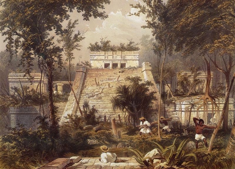
3. Frank Catherwood's 1844 lithograph of The Castle.
Credits. This page was last revised on June 27, 2019. It was originally submitted on March 3, 2017, by J. Makali Bruton of Washington, District of Columbia. This page has been viewed 483 times since then and 22 times this year. Photos: 1, 2, 3. submitted on March 3, 2017, by J. Makali Bruton of Washington, District of Columbia.
