Tulum, Quintana Roo, Mexico — The Yucatan Peninsula (The Southeast)
The House of the Cenote
La Casa del Cenote
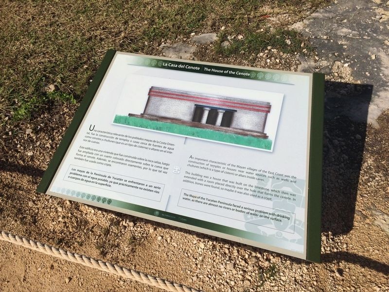
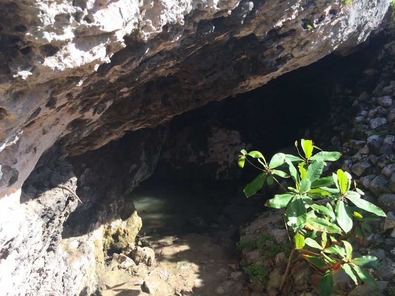
Una característica relevante de los poblados mayas de la Costa Oriental, fue la construcción de templos o casas cerca de fuentes de agua como cenotes y chultunes (que es un tipo de cisterna) o altares en el interior de cuevas.
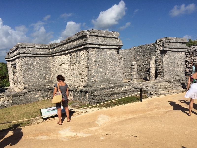
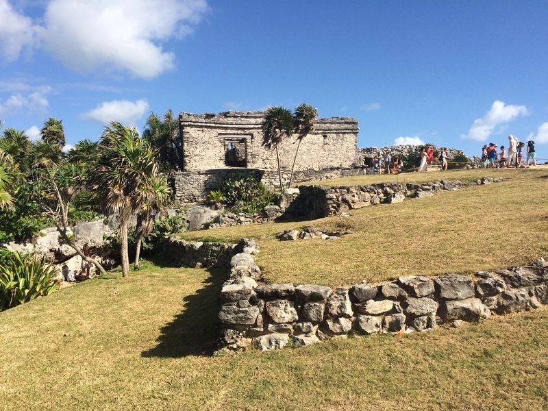
Este edificio era una vivienda que fue construida sobre la roca caliza, luego fue ampliada con un cuarto colocado directamente sobre la cueva que forma el cenote. Además, se encontraron osamentas, por lo que tal vez también fue usada como cripta.
Los mayas de la Península de Yucatán se enfrentaron a un serio problema con el agua potable, ya que prácticamente no existen ríos o cuerpos de agua en la superficie.
English:
An important characteristic of the Mayan villages of the East Coast was the construction of temples or houses near water sources such as Wells and chultunes (which is a type of cistern) or altars inside caves.
This building was a house that was built on the limestone, which then was extended with a room placed directly over the hole that forms the cenote. In addition, bones were found, so maybe it was also used as a crypt.
The Maya of the Yucatan Peninsula faced a serious problem with drinking water, as there are almost no rivers or bodies of water on the surface.
Erected by Consejo Nacional para la Cultura y las Artes de México (CONACULTA).
Topics. This historical marker is listed in these topic lists: Anthropology & Archaeology • Architecture • Man-Made Features • Native Americans.
Location. 20° 12.965′ N, 87° 25.693′ W. Marker is in Tulum, Quintana Roo. Marker can be reached from Carretera Cancún - Tulum (Route 307). The marker is west of the House of the Cenote, near the entrance to the Tulum Archaeological Site near the town of Tulum. Touch for map. Marker is in this post office area: Tulum QR 77700, Mexico. Touch for directions.
Other nearby markers. At least 6 other markers are within walking distance of this marker. Trade and Navigation (about 120 meters away, measured in a direct line); The Palace of the Great Lord (about 150 meters away); Temple of the Descending God (about 150 meters away); The Castle (about 210 meters away); The Temple of the Stela (about 210 meters away); The Caste War 1847-1900 (approx. 0.4 kilometers away).
Credits. This page was last revised on March 3, 2017. It was originally submitted on March 3, 2017, by J. Makali Bruton of Accra, Ghana. This page has been viewed 274 times since then and 47 times this year. Photos: 1, 2, 3, 4. submitted on March 3, 2017, by J. Makali Bruton of Accra, Ghana.


