Cobá in Tulum, Quintana Roo, Mexico — The Yucatan Peninsula (The Southeast)
Paintings Complex
Photographed by J. Makali Bruton, January 13, 2017
1. Paintings Complex Marker
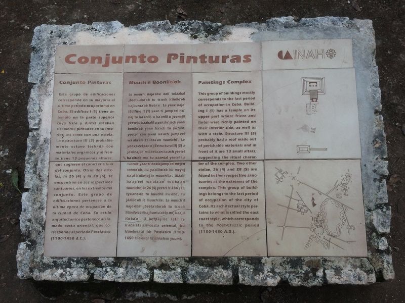
Conjunto Pinturas
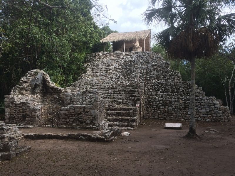
Este grupo de edificaciones corresponde en su mayoria al último periodo ocupacional en Cobá. El edificio I (1) tiene un templo en la parte superior cuyo friso y dintel estaban ricamente pintados en su interior, asi como como con una estela. La estructura III (3) probablemente estuvo techada con materials orgánicos y al frente tiene 13 pequeños altares que sugieren el carácter ritual del conjunto. Otras dos estelas, la 26 (4) y la 28 (5), se encuentran en sus respectivos santuarios, en los extremos del conjunto. Este grupo de edificaciones pertenece a la última época de ocupación de la ciudad de Cobá. Su estilo arquitectónico pertenece al llamado costa oriental, que corresponde al periodo Posclásico (1100-1450 d.C.).
Maya-Yucateco:
Múuch’il Boonilo’ob
Le múuch’ najo’oba’ óoli’ tuláakal jbeeta’abo’ob tu ts’ook k’iinilo’ob kajkunsa’ab Koba’e’. Le yáax najo’ [Edificio I] (1) yaan ti’ jump’éel k’u’ naj tu ka’anlil, u ka’anlil u joonajil yéetel u kaabalil u pak’ile’ jach yaab bonilo’ob yaan ka’ach tu yichilil, yéetel xan yaan ka’ach jump’éel wa’ala’an ts’iibta’an tuunich’. Le yóoxp’éel pak’o’ [Estructura III] (3)
this page online
English:
Paintings Complex
This group of buildings mostly corresponds to the last period of occupation in Cobá. Building I (1) has a temple on its upper part whose frieze and lintel were richly painted on their interior side, as well as with a stele. Structure III (3) probably had a roof made out of perishable materials and in front of it are 13 small altars, suggesting the ritual character of the complex. Two other stelae, 26 (4) and 28 (5) are found in their respective sanctuaries at the extremes of the complex. This group of buildings belongs to the last period of occupation of the city of Cobá. Its architectural
Photographed by J. Makali Bruton, January 13, 2017
2. Paintings Complex Marker
Erected by Instituto Nacional de Antropología e Historia (INAH).
Topics. This historical marker is listed in these topic lists: Anthropology & Archaeology • Architecture • Colonial Era • Man-Made Features.
Location. 20° 29.412′ N, 87° 43.521′ W. Marker is in Cobá, Quintana Roo, in Tulum. It can be reached from Coba archaeological site. The marker is in front of the Paintings Complex at the Cobá Archaeological Site. Touch for map. Marker is in this post office area: Cobá QR 77793, Mexico. Touch for directions.

Regionally, this marker is in the Mexican Maya Heartland and on the Yucatán Peninsula. Globally, it is on the Caribbean Sea, in North America, in Mesoamerica, in a Gulf of Mexico state, and in the Western Hemisphere. Historically, it finds itself in what was once New Spain and also a Spanish colony.
Other nearby markers. At least 4 other markers are within 21 kilometers of this marker, measured as the crow flies: Nohoch Mul Group
Photographed by J. Makali Bruton, January 13, 2017
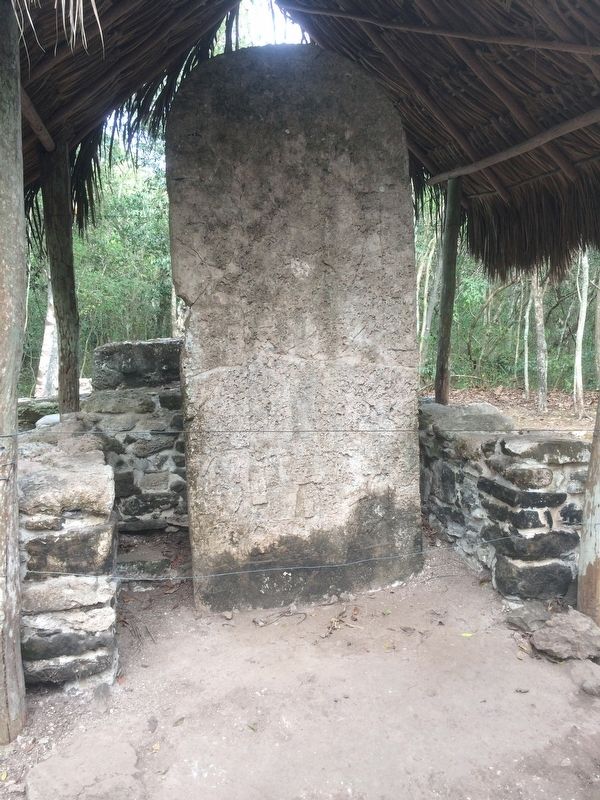
3. A badly eroded stela near the Paintings Complex.
Credits. This page was last revised on March 4, 2017. It was originally submitted on March 4, 2017, by J. Makali Bruton of Washington, District of Columbia. This page has been viewed 348 times since then and 28 times this year. Photos: 1, 2, 3. submitted on March 4, 2017, by J. Makali Bruton of Washington, District of Columbia.
