Pisté in Tinum, Yucatán, Mexico — The Southeast (Yucatan Peninsula)
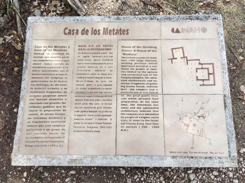
House of the Grinding Stones & House of the “Mestizas”
Photographed by J. Makali Bruton, January 17, 2017
1. House of the Grinding Stones & House of the “Mestizas” Marker
Casa de los Metates y Casa de las Mestizas
Forman un complejo de cuartos con amplios pórticos conectados entre si que deben haber servido de residencia a personas o familias relacionadas con el mantenimiento y el uso ceremonial del complejo arquitectónico de El Osario. Los hallazgos de abundante material cerámico y de numerosos fragmentos de metates permiten inferir una función doméstica o vinculada con grandes festividades públicas que incluyan la preparación de comida. Al mismo tiempo, las Columnas Atlánteas y su arquitectura sustancial indican que este complejo pertenecía a un grupo de alta posición social. Su fechamiento corresponde al Clásico Terminal-Posclásico Temprano (900-1200 d.C.).
Maya-Yucateco:
Najil K’a’ yéetel Najil le Mestizao’obo’
Ku beetiko’ob junmúuch’ yéetel kóoch najo’ob kucha’an u jo’ol najil tumen ka’anal tak’a’an tuunicho’ob nupa’a no’ob mil meyajnajo’ob je’ex u yotochil máako’ob wa u yéet k’i’ik’elilo’ob máaxo’ob ku kaláantiko’ob yéetel ku meyaj je’ex k’ulintaj le múuch’il betpajlil le baakelilo’ wa El Osario. Le ya’ab k’at kaxt’ab yéetel le ya’ab káakachil k’a’ ka’obo’ ku beetiko’ob u tu kla’ale’
this page online
English:
House of the Grinding Stones & House of the “Mestizas”
These form a series of chambers with large interconnecting porticos which must have served as a residence for people or families related to the upkeep and ceremonial use of the Ossuary complex. The abundant earthenware and numerous fragments of grinding stones found, indicate that the complex had a domestic use or was linked to the great public festivals which included food preparation. At the same time, the Atlantean Columns and the substantial architecture indicate that the complex was inhabited by people of a higher social class. It dates to the Terminal Classic - Early Post Classic periods (900- 1200 A.D.).
Erected by Instituto Nacional
Photographed by J. Makali Bruton, January 17, 2017
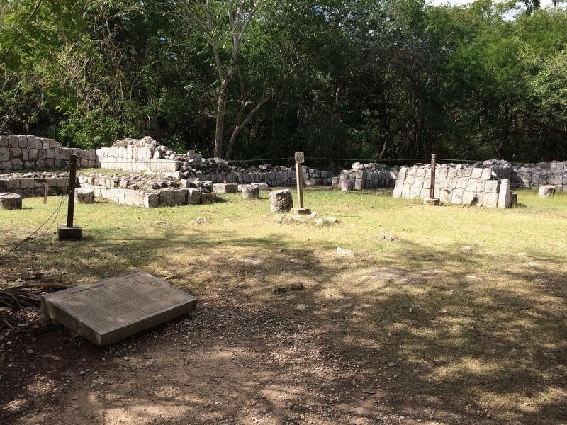
2. House of the Grinding Stones & House of the “Mestizas” Marker
Topics. This historical marker is listed in these topic lists: Anthropology & Archaeology • Architecture • Indigenous Peoples and Communities • Man-Made Features. A significant historical year for this entry is 1200.
Location. 20° 40.863′ N, 88° 34.27′ W. Marker is in Pisté, Yucatán, in Tinum. It can be reached from Carretera Costera de Golfo (Route 180). The marker is just east of the House of the Grinding Stones complex at Chichén Itzá Archaeological Site. Touch for map. Marker is in this post office area: Pisté YU 97751, Mexico. Touch for directions.

Regionally, this marker is in the Mexican Gulf Coast, in the Maya Heartland, and on the Yucatán Peninsula. Globally, it is in North America, Mesoamerica, a Gulf of Mexico state, and the Western Hemisphere. Historically, it finds itself in what was once New Spain and also a Spanish colony.
Other nearby markers. At least 8 other markers are within walking distance of this marker: The Ossuary or Tomb of the Great Priest (within shouting distance of this marker); Platform of Venus and Round Platform (about 90 meters away, measured
Photographed by J. Makali Bruton, January 17, 2017
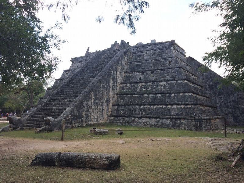
3. A view of the Ossuary to the east of the House of the Grinding Stones
Credits. This page was last revised on March 12, 2017. It was originally submitted on March 12, 2017, by J. Makali Bruton of Washington, District of Columbia. This page has been viewed 538 times since then and 25 times this year. Photos: 1, 2, 3. submitted on March 12, 2017, by J. Makali Bruton of Washington, District of Columbia.
