Riverton in Barkhamsted in Northwest Hills Region, Connecticut — The American Northeast (New England)
Barkhamsted Lighthouse Village Cemetery
A Connecticut State Archaeological Preserve
Photographed by Alan M. Perrie, April 8, 2016
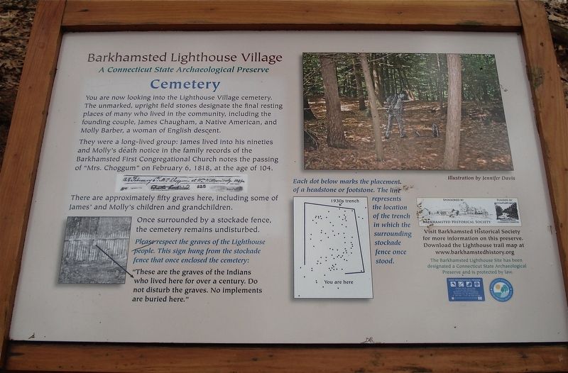
1. Barkhamsted Lighthouse Village Cemetery Marker
You are now looking into the Lighthouse Village cemetery. The unmarked, upright field stones designate the final resting places of many who lived in the community, including the founding couple, James Chaugham, a Native American, and Molly Barber, a women of English descent.
They were a long-lived group: James lived into his nineties and Molly’s death notice in the family records of the Barkhamsted First Congregational Church notes the passing of “Mrs Choggum” on February 6, 1818, at the age of 104.
There are approximately fifty graves here, including some of James’ and Molly’s children and grandchildren.
Once surrounded by a stockade fence, the cemetery remains undisturbed.
“These are the graves of the Indians who lived here for over a century. Do not disturb the graves. No implements are buried here”
Erected by Barkhamsted Historical Society.
Topics and series. This historical marker is listed in these topic lists: Anthropology & Archaeology • Cemeteries & Burial Sites • Indigenous Peoples and Communities. In addition, it is included in the Lighthouses series list. A significant historical date for this entry is February 6, 1818.
Location. 41° 56.559′ N,
this page online

Regionally, this marker is in Connecticut’s Berkshire Foothills and in the Litchfield Hills. It is also in the American Northeast and in New England. Globally, it is in North America, the Western Hemisphere, the Western World, and the Anglosphere. Historically, it finds itself in what was once Litchfield County and also one of the original Thirteen Colonies.
Other nearby markers. At least 8 other markers are within walking distance of this marker: Barkhamsted Lighthouse Village Grind Stone (within shouting distance of this marker); Barkhamsted Lighthouse Village Cellar Holes (within shouting distance of this marker); Barkhamsted Lighthouse Village Stone Quarry
Photographed by Alan M. Perrie, April 8, 2016
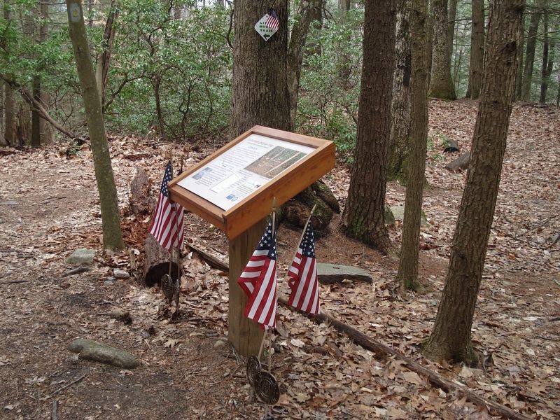
2. Barkhamsted Lighthouse Village Cemetery Marker
Also see . . .
1. Barkhamsted Lighthouse Cemetery. Find A Grave website entry (Submitted on March 27, 2017, by Alan M. Perrie of Unionville, Connecticut.)
2. “Outcasts” Build Their Own Village in 18th-Century Barkhamsted. CT History website entry (Submitted on March 27, 2017, by Alan M. Perrie of Unionville, Connecticut.)
3. Barkhamsted Lighthouse. Wikipedia entry (Submitted on March 27, 2017, by Alan M. Perrie of Unionville, Connecticut.)
Credits. This page was last revised on May 19, 2026. It was originally submitted on March 27, 2017, by Alan M. Perrie of Unionville, Connecticut. This page has been viewed 782 times since then and 43 times this year. Photos: 1, 2. submitted on March 27, 2017, by Alan M. Perrie of Unionville, Connecticut. • Bill Pfingsten was the editor who published this page.
