Aberdeen in Monroe County, Mississippi — The American South (East South Central)
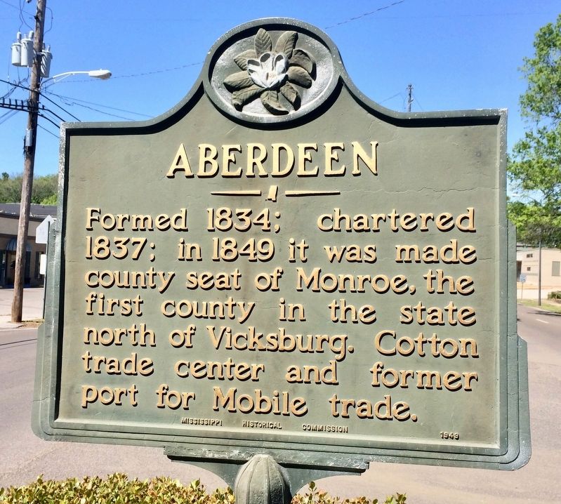
Aberdeen
Photographed by Mark Hilton, April 9, 2017
1. Aberdeen Marker
Erected 1949 by Mississippi Historical Commission.
Topics and series. This historical marker is listed in these topic lists: Agriculture • Industry & Commerce • Settlements & Settlers • Waterways & Vessels. In addition, it is included in the Mississippi State Historical Marker Program series list. A significant historical year for this entry is 1834.
Location. 33° 49.527′ N, 88° 33.038′ W. Marker is in Aberdeen, Mississippi, in Monroe County. It is at the intersection of West Commerce Street (Mississippi Route 145) and Franklin Street, on the right when traveling west on West Commerce Street. Located in the median strip. Touch for map. Marker is at or near this postal address: 518 West Commerce Street, Aberdeen MS 39730, United States of America. Touch for directions.

Regionally, this marker is in East Mississippi, specifically in the Black Prairie, in the Golden Triangle, and in the North Mississippi Hills. It is also in the
this page online
Other nearby markers. At least 8 other markers are within walking distance of this marker: Dr. W. A. Evans (about 600 feet away, measured in a direct line); St. John's Episcopal Church (about 800 feet away); Judge Eugene O. Sykes (approx. 0.2 miles away); Reuben Davis (approx. 0.3 miles away); Aberdeen City Hall (approx. 0.3 miles away); Elkin Theatre (approx. 0.4 miles away); Aberdeen Mississippi Blues (approx. 0.4 miles away); DeSoto Expedition (approx. 0.6 miles away). Touch for a list and map of all markers in Aberdeen.
Regarding Aberdeen. Aberdeen was founded in 1835 by Robert Gordon, a Scotsman who recognized the potential of the site located on a hill next to the Tombigbee River. It became the second largest city in Mississippi, as well as the largest port on the
Photographed by Mark Hilton, April 9, 2017
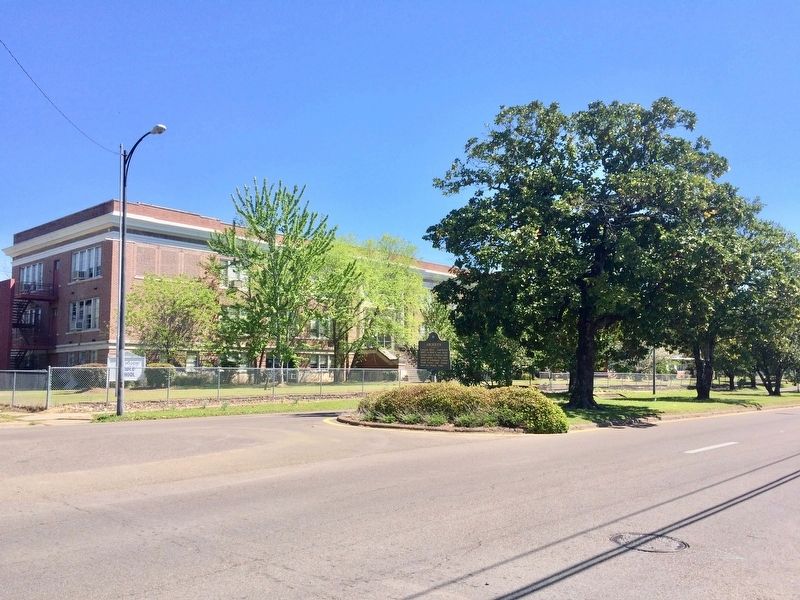
2. View of marker near the Aberdeen Middle School.
Also see . . . Wikipedia article on the City of Aberdeen. (Submitted on April 10, 2017, by Mark Hilton of Montgomery, Alabama.)
Photographed by Mark Hilton, April 9, 2017
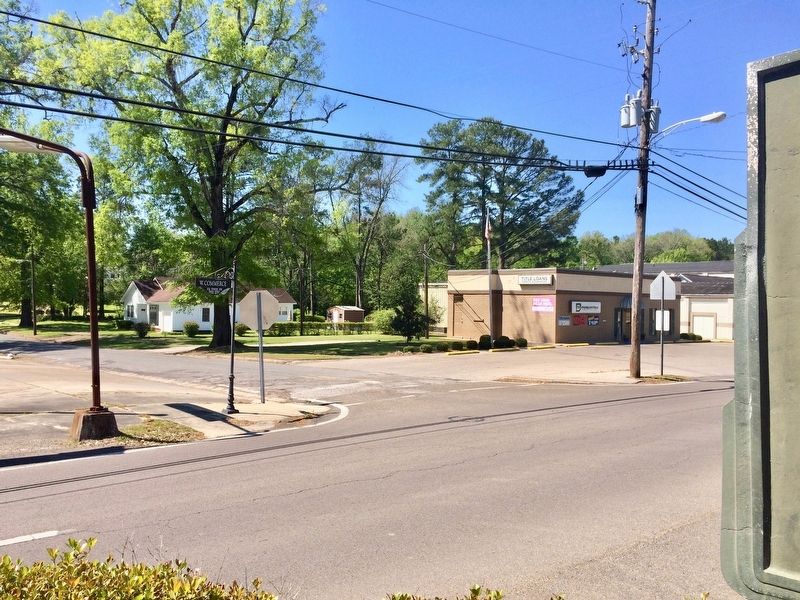
3. View of marker towards Franklin Street.
Credits. This page was last revised on April 10, 2017. It was originally submitted on April 10, 2017, by Mark Hilton of Montgomery, Alabama. This page has been viewed 762 times since then and 41 times this year. Photos: 1, 2, 3. submitted on April 10, 2017, by Mark Hilton of Montgomery, Alabama.
