Franklin in Williamson County, Tennessee — The American South (East South Central)
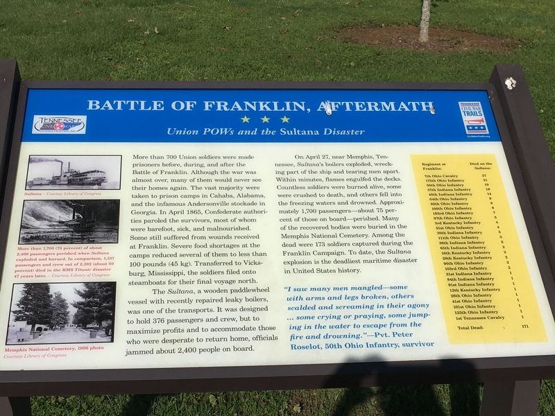
Battle of Franklin, Aftermath
Union POWs and the Sultana Disaster
Photographed by Brandon Stahl, April 26, 2017
1. Battle of Franklin, Aftermath Marker
The Sultana, a wooden paddlewheel vessel with recently repaired leaky boilers, was one of the transports. It was designed to hold 376 passengers and crew, but to maximize profits and to accommodate those who were desperate to return home, officials jammed about 2,400 people on board.
On April 27, near Memphis, Tennessee, Sultana’s boilers exploded, wrecking part of the ship and tearing men apart. Within minutes, flames engulfed the decks. Countless soldiers were burned
this page online
“I saw many men mangled—some with arms and legs broken, others scalded and screaming in their agony… some crying or praying, some jumping in the water to escape from the fire and drowning.”—Pvt. Peter Roselot, 50th Ohio Infantry, survivor
Erected by Tennessee Civil War Trails.
Topics and series. This historical marker is listed in these topic lists: Disasters • War, US Civil • Waterways & Vessels. In addition, it is included in the Tennessee Civil War Trails series list. A significant historical date for this entry is April 27, 1865.
Location. 35° 54.372′ N, 86° 51.613′ W. Marker is in Franklin, Tennessee, in Williamson County. It can be reached from Eastern Flank Circle 0.4 miles south of Lewisburg
Photographed by Brandon Stahl, April 26, 2017
2. Battle of Franklin, Aftermath Marker

Regionally, this marker is in Middle Tennessee and in Greater Nashville. It is also in the American South and specifically in the Upper South. Globally, it is in North America, the Western Hemisphere, the Western World, and the Anglosphere. Historically, it finds itself in what was once the territory of the Mississippian Culture, one of the Confederate States of America, and the Antebellum South.
Other nearby markers. At least 8 other markers are within walking distance of this marker: Confederate Reunions at McGavock's Grove (within shouting distance of this marker); A Dream Postponed (within shouting distance of this marker); The Long Road to Recovery (within shouting distance of this marker); Battle of Franklin, Eastern Flank (within shouting distance of this marker); a different marker also named Battle of Franklin (about 300 feet away, measured in a direct line); a different
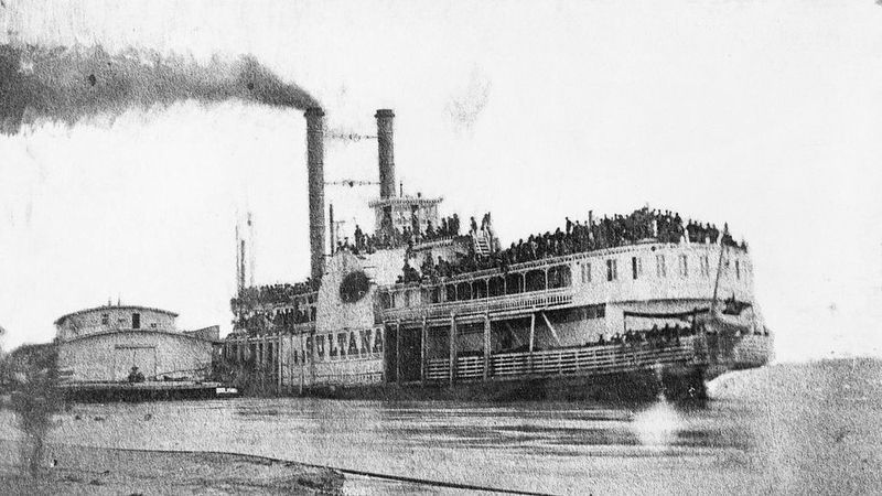
The Library of Congress
3. The Sultana
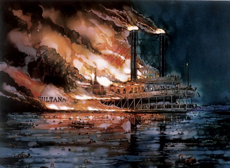
4. The Sultana
More than 1,700 (75 percent) of about 2,400 passengers perished when Sultana exploded and burned. In comparison, 1,517 passengers and crew out of 2,202 (about 69 percent) died in the RMS Titanic disaster 47 years later.
Library of Congress
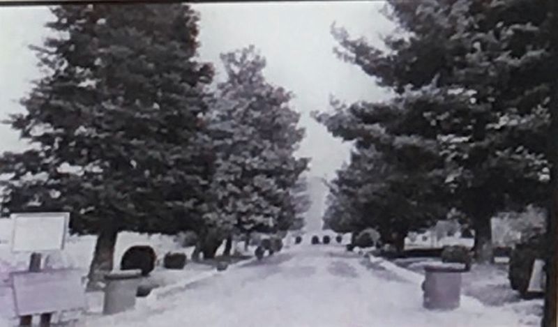
5. Memphis National Cemetery, 1906 photo
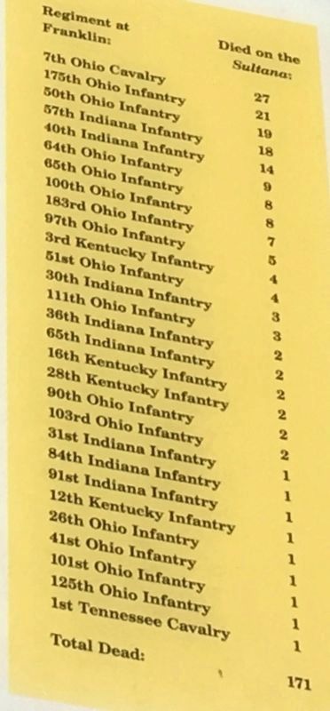
6. Deaths on the Sultana by Unit
Credits. This page was last revised on August 27, 2020. It was originally submitted on May 18, 2017, by Brandon Stahl of Fairfax, Virginia. This page has been viewed 804 times since then and 73 times this year. Photos: 1, 2, 3, 4, 5, 6. submitted on May 18, 2017, by Brandon Stahl of Fairfax, Virginia. • Bernard Fisher was the editor who published this page.
