Franklin in Williamson County, Tennessee — The American South (East South Central)
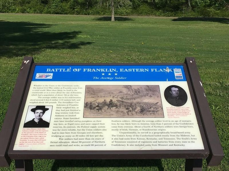
Battle of Franklin, Eastern Flank
The Average Soldier
The average soldier was in his mid-twenties, stood about 5 feet 8 inches (1.73 meters) tall, and weighed about 145 pounds. The threadbare Confederates at Franklin likely weighed less, as they had just finished a long wintery trek from Alabama on limited rations. Some famished men later recalled eating pumpkins on their way here, as frigid rains and snow sapped their reserves. In contrast, the Federal supply system was far more reliable, but the Union solders also had to race here from Georgia and elsewhere, trudging as many as 20 miles (32 km) per day.
Few soldiers had more than six years of formal education. About 90 percent of Northern men could read and write, as could 80 percent of Southern soldiers. Although the average soldier lived in an age of immigration, he was likely born in America. Less than 5 percent of Confederates came from overseas. About a fourth of Northern soldiers were foreign-born, mostly of Irish, German, or Scandinavian origins.
Unquestionably, he served in a geographically broad-based army. The Union’s Army of the Cumberland hailed most from the Midwest, but it also had units from Kansas, Kentucky, and Tennessee. The South’s Army of Tennessee consisted of regiments and batteries from every state in the Confederacy. It also included units from Missouri and Kentucky.
Erected by Tennessee Civil War Trails.
Topics and series. This historical marker is listed in this topic list: War, US Civil. In addition, it is included in the Tennessee Civil War Trails series list.
Location. 35° 54.46′ N, 86° 51.677′ W. Marker is in Franklin, Tennessee, in Williamson County. Marker can be reached from Eastern Flank Circle, 0.4 miles south of Lewsiburg Pike (Business U.S. 431), on the right when traveling west. Located in Eastern Flank Battlefield Park. Touch for map. Marker is at or near this postal address: 1368 Eastern Flank Cir, Franklin TN 37064, United States of America. Touch for directions.
Other nearby markers. At least 8 other markers are within walking distance of this marker. A different marker also named Battle of Franklin (about 400 feet away, measured in a direct line); a different marker also named Battle of Franklin, Eastern Flank (about 400 feet away); a different marker also named Battle of Franklin, Eastern Flank (about 500 feet away); Battle of Franklin, Aftermath (about 600 feet away); a different marker also named Battle of Franklin, Eastern Flank (about 600 feet away); Confederate Reunions at McGavock's Grove (about 800 feet away); A Dream Postponed (about 800 feet away); The Long Road to Recovery (about 800 feet away). Touch for a list and map of all markers in Franklin.

Battle of Franklin Trust Archives
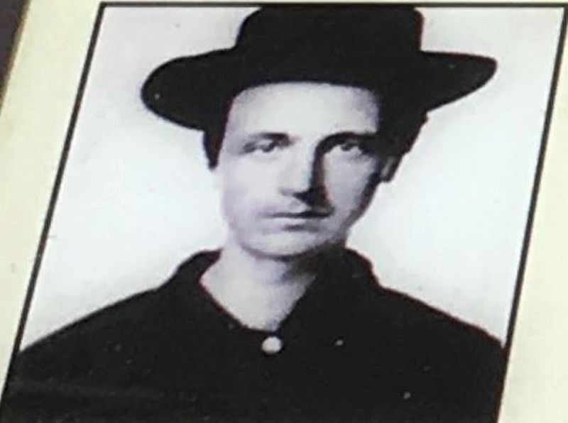
3. Pvt. Adam Weaver
Pvt. Adam Weaver, 104th Ohio Infantry, fought with his regiment at the epicenter of the Battle of Franklin – the Carter Cotton Gin on the Columbia Pike. Surviving the ordeal, Weaver later called Franklin “a name that will haunt me for the rest of my days and nights.”
Credits. This page was last revised on August 27, 2020. It was originally submitted on May 23, 2017, by Brandon Stahl of Fairfax, Virginia. This page has been viewed 319 times since then and 29 times this year. Photos: 1, 2, 3, 4. submitted on May 23, 2017, by Brandon Stahl of Fairfax, Virginia. • Bernard Fisher was the editor who published this page.


