Natchez in Adams County, Mississippi — The American South (East South Central)
Grand Village of the Natchez Indians
| — | Mississippi Mound Trail | — |
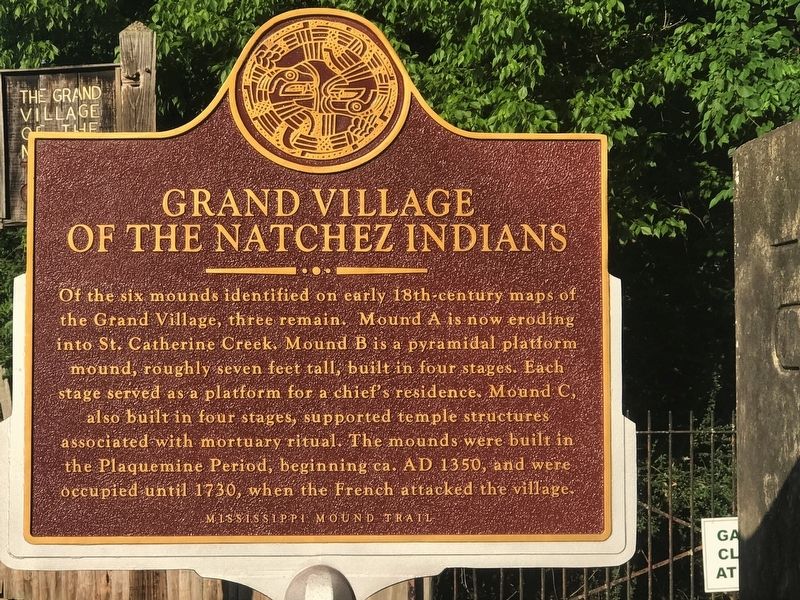
Photographed by Cajun Scrambler, May 26, 2017
1. Grand Village of the Natchez Indians Marker
Erected by Mississippi Department of Archives and History.
Topics and series. This historical marker is listed in these topic lists: Anthropology & Archaeology • Colonial Era • Indigenous Peoples and Communities • Settlements & Settlers. In addition, it is included in the Mississippi Mound Trail, and the National Historic Landmarks series lists. A significant historical year for this entry is 1350.
Location. 31° 31.539′ N, 91° 22.84′ W. Marker is in Natchez, Mississippi, in Adams County. It is on Jeff Davis Boulevard east of South Temple Road, on the right when traveling east. Touch for map.
this page online

Regionally, this marker is in Southwest Mississippi and in Natchez Trace Corridor. It is also in the American South, specifically in the Deep South, and in the Great River Road Region. Globally, it is in North America, a Gulf of Mexico state, the Western Hemisphere, the Western World, and the Anglosphere. Historically, it finds itself in what was once New Spain, the Viceroyalty of New France, the territory of the Mississippian Culture, one of the Confederate States of America, and the Antebellum South.
Other nearby markers. At least 8 other markers are within walking distance of this marker: Ceremonial Center (about 400 feet away, measured in a direct line); Abandoned Mound (about 600 feet away); Historic Plaza (about 700 feet away); Native Structures (about 700 feet away); Road to Fort Rosalie (about 700 feet away); Historical Archaeology - the Chief's House and Temple (about 800 feet away); Three Archaeological Excavations (approx. 0.2 miles away); Historic Use of Ceremonial Mounds
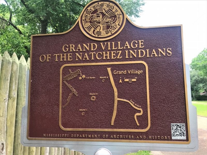
Photographed by Cajun Scrambler, May 27, 2017
2. Grand Village of the Natchez Indians Marker
Rear side of Marker
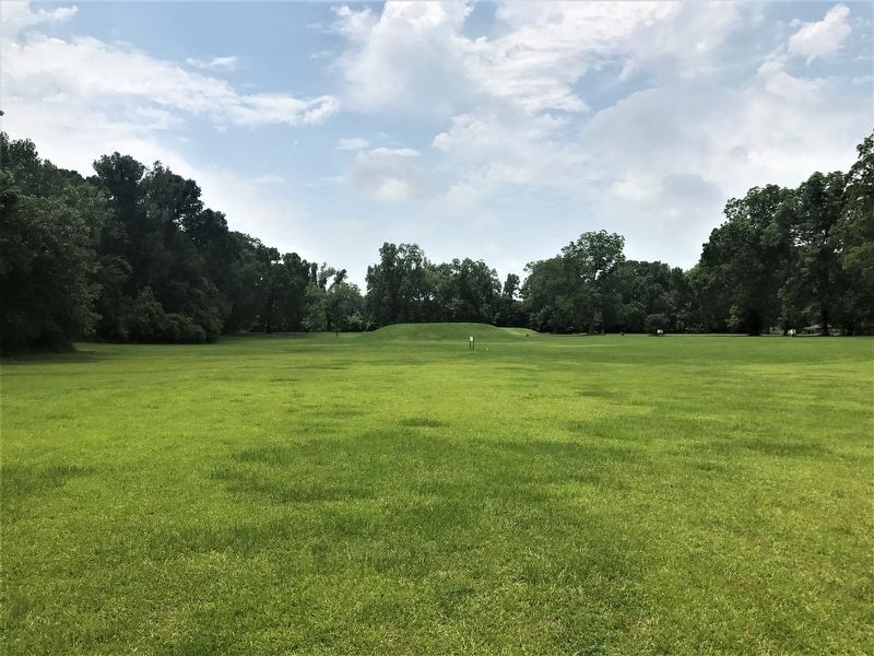
Photographed by Cajun Scrambler, May 27, 2017
3. Grand Village of the Natchez Site
Photographed by Cajun Scrambler, May 26, 2017
4. Grand Village of the Natchez Indians Marker
QR code for marker, works, check it out!
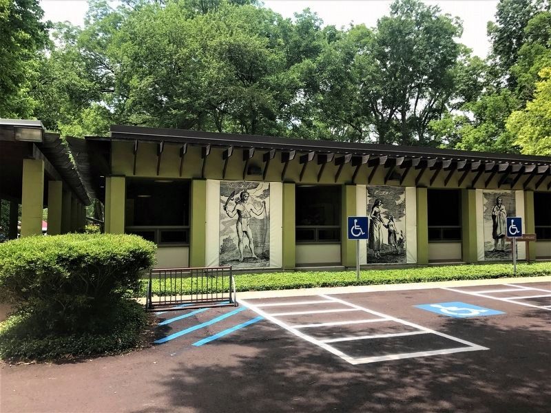
Photographed by Cajun Scrambler, May 27, 2017
5. Grand Village of the Natchez Indians Museun Center
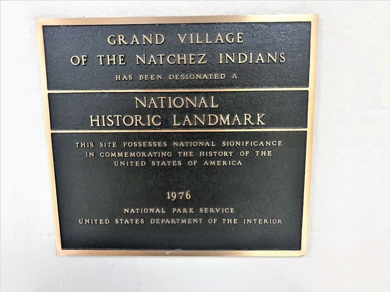
Photographed by Cajun Scrambler, May 27, 2017
6. Grand Village of the Natchez Indians NHL Marker
GRAND VILLAGE OF THE NATCHEZ INDIANS
Has been designated a
National Historic Landmark
This site possesses National significance in commemorating the history of the United States of America
1976
National Park Service
United States Department of the Interior
Has been designated a
National Historic Landmark
This site possesses National significance in commemorating the history of the United States of America
1976
National Park Service
United States Department of the Interior
Credits. This page was last revised on October 28, 2023. It was originally submitted on May 27, 2017, by Cajun Scrambler of Assumption, Louisiana. This page has been viewed 1,169 times since then and 96 times this year. Photos: 1, 2, 3, 4, 5, 6. submitted on May 27, 2017, by Cajun Scrambler of Assumption, Louisiana.
