Vicksburg in Warren County, Mississippi — The American South (East South Central)
Glass Mounds
| — | Mississippi Mound Trail | — |
Photographed by Mark Hilton, May 26, 2017
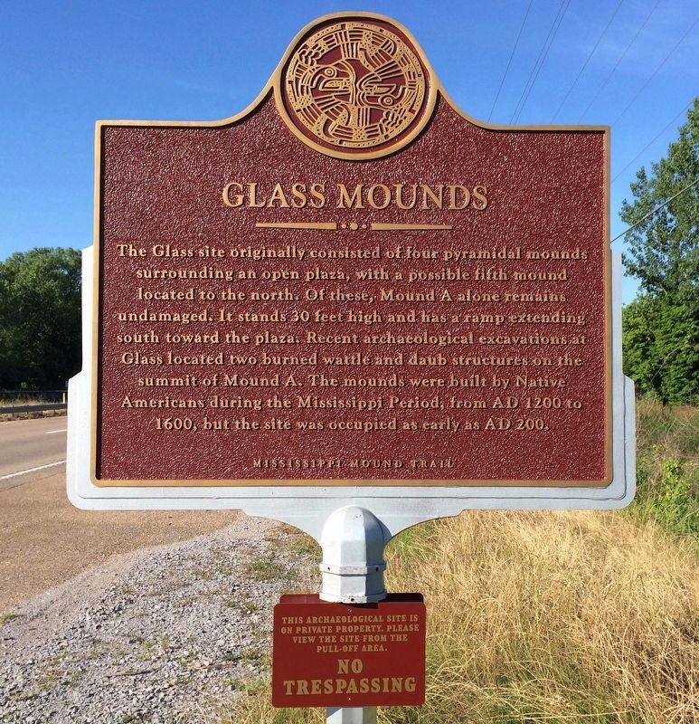
1. Glass Mounds Marker (Front)
Lower plaque
This archaeological site is
on private property. Please
view the site from the
pull-off area.
No
Trespassing
on private property. Please
view the site from the
pull-off area.
No
Trespassing
Erected 2016 by Mississippi Department of Archives and History.
Topics and series. This historical marker is listed in these topic lists: Anthropology & Archaeology • Indigenous Peoples and Communities • Settlements & Settlers. In addition, it is included in the Mississippi Mound Trail series list. A significant historical year for this entry is 1200.
Location. 32° 13.696′ N, 90° 55.648′ W. Marker is in Vicksburg, Mississippi, in Warren County. It is on U.S. 61 south of Demby Drive, on the right when traveling south. Across from the Vicksburg Warren Humane Society. Touch for map. Marker is at or near this postal
this page online

Regionally, this marker is in Natchez Trace Corridor and in Greater Jackson. It is also in the American South, specifically in the Deep South, in the Mississippi Delta, and in the Great River Road Region. Globally, it is in North America, a Gulf of Mexico state, the Western Hemisphere, the Western World, and the Anglosphere. Historically, it finds itself in what was once New Spain, the territory of the Mississippian Culture, one of the Confederate States of America, and the Antebellum South.
Other nearby markers. At least 8 other markers are within 6 miles of this marker, measured as the crow flies: Captain Brady Tonth, Jr. (approx. ¾ mile away); Yokena Presbyterian Church (approx. 3.9 miles away); Camp Williamson (approx. 4.3 miles away); Brierfield and Hurricane (approx. 5.3 miles away); Tobias Gibson (approx. 5.4 miles away); Mississippi (approx. 6 miles away); Vicksburg Siege (approx. 6 miles away); U.S. Battery Benton. (approx. 6.1 miles away). Touch for a list and map of all markers in Vicksburg.
Regarding Glass Mounds. Some
Photographed by Mark Hilton, May 26, 2017
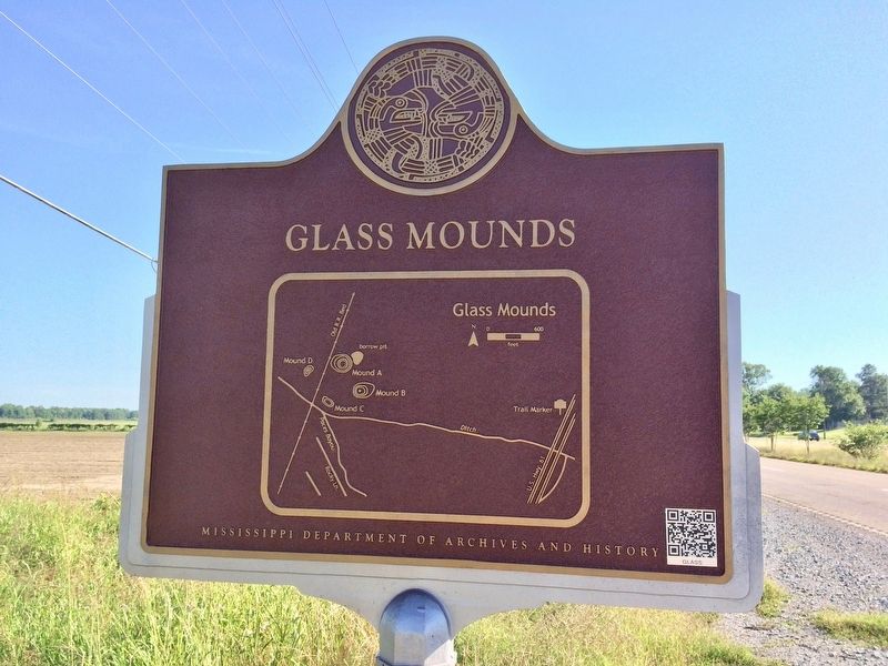
2. Glass Mounds Marker (Rear map of mound area)
Also see . . . Mississippi Mound Trail. Mississippi Historical Markers website entry (Submitted on May 3, 2024, by Larry Gertner of New York, New York.)
Photographed by Mark Hilton, May 26, 2017
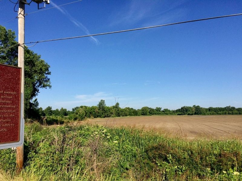
3. View towards area of Glass Mounds
Photographed by Mark Hilton, May 26, 2017
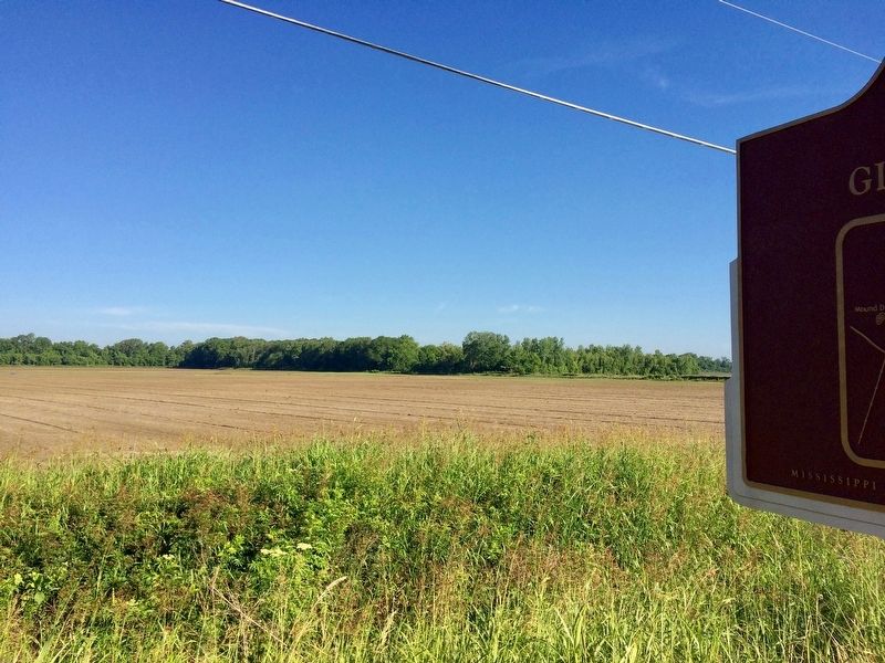
4. View towards the Glass Mounds in distance.
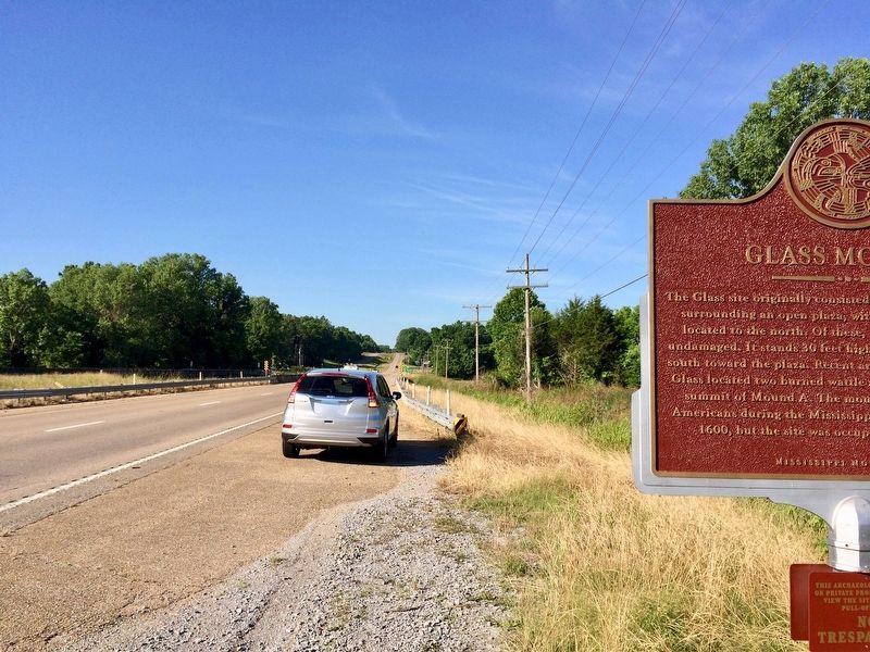
Photographed by Mark Hilton, May 26, 2017
5. View of marker looking south on U.S. Highway 61.
Credits. This page was last revised on May 3, 2024. It was originally submitted on May 28, 2017, by Mark Hilton of Montgomery, Alabama. This page has been viewed 2,895 times since then and 135 times this year. Photos: 1, 2, 3, 4, 5. submitted on May 28, 2017, by Mark Hilton of Montgomery, Alabama.
