Cody in Park County, Wyoming — The American West (Mountains)
Buffalo Bill Reservoir
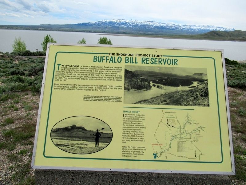
Photographed by Michael Herrick, May 14, 2017
1. Buffalo Bill Reservoir Marker
The Shoshone Project Story
More information on the development of the Shoshone Project can be found at Buffalo Bill Dam Visitors Center 1.5 miles east of this site and at nine other Wayside Exhibits located on the Project.
Today,
this page online
Topics. This historical marker is listed in these topic lists: Agriculture • Environment • Man-Made Features.
Location. 44° 29.982′ N, 109° 13.085′ W. Marker is in Cody, Wyoming, in Park County. It is on North Fork Hwy (U.S. 14) half a mile east of Verner Road, on the right when traveling east. Touch for map. Marker is in this post office area: Cody WY 82414, United States of America. Touch for directions.

Regionally, this marker is in the Bighorn Basin and in Greater Yellowstone. It is also in the American Mountain West and in the Lewis & Clark Corridor. Globally, it is in North America, the Rocky Mountains, the Western Hemisphere, the Western World, and the Anglosphere.
Other nearby markers. At least 8 other markers are within 6 miles of this marker, measured as the crow flies: Upstream Cableway Winch (approx. 1½ miles away); Balanced Plunger Hydraulic Valve (approx. 1½ miles away); Ball Plug (approx. 1½ miles away); Buffalo Bill Dam
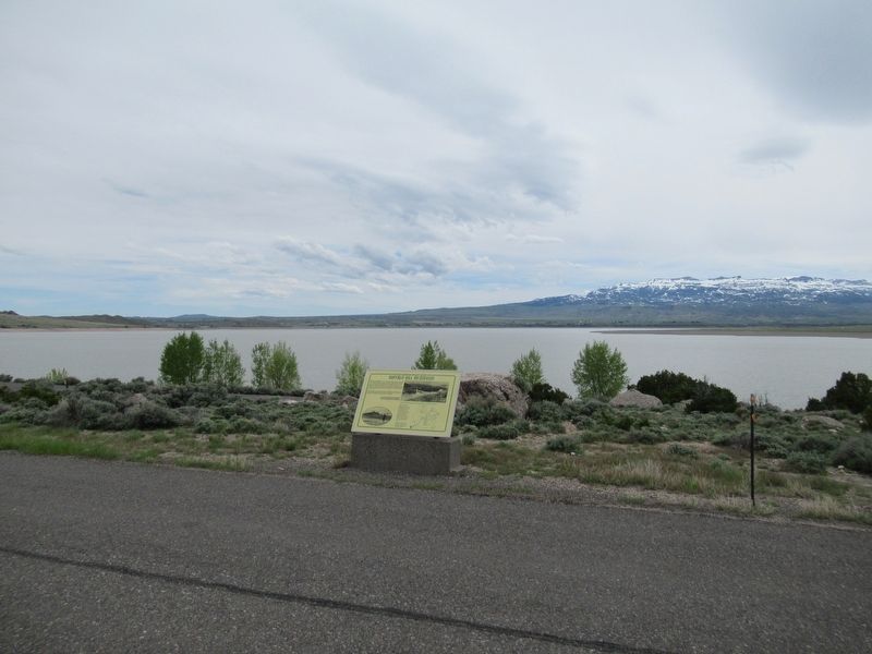
Photographed by Michael Herrick, May 14, 2017
2. Buffalo Bill Reservoir Marker
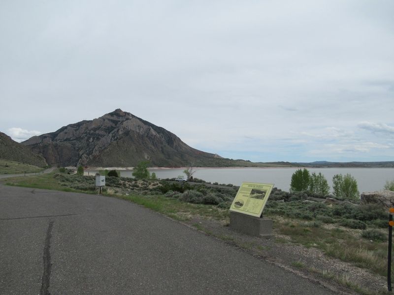
Photographed by Michael Herrick, May 14, 2017
3. Buffalo Bill Reservoir
View looking east. At left, at the base of the mountain, is the Buffalo Bill Dam, which forms the reservoir.
Credits. This page was last revised on June 1, 2017. It was originally submitted on June 1, 2017, by Michael Herrick of Southbury, Connecticut. This page has been viewed 430 times since then and 40 times this year. Photos: 1, 2, 3. submitted on June 1, 2017, by Michael Herrick of Southbury, Connecticut.
