Near Henderson in Rusk County, Texas — The American South (West South Central)
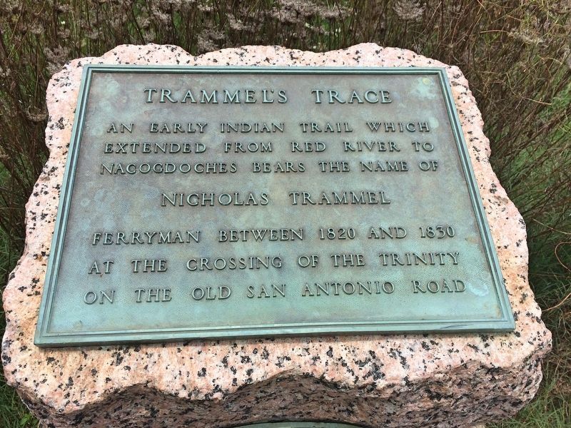
Trammel's Trace
Photographed by Mark Hilton, June 28, 2017
1. Trammel's Trace Marker
extended from Red River to
Nacogdoches bears the name of
Nicholas Trammel
ferryman between 1820 and 1830
at the crossing of the Trinity
on the Old San Antonio Road
Erected 1936 by the State of Texas. (Marker Number 11076.)
Topics and series. This historical marker is listed in these topic lists: Indigenous Peoples and Communities • Roads & Vehicles • Waterways & Vessels. In addition, it is included in the Texas 1936 Centennial Markers and Monuments series list. A significant historical year for this entry is 1820.
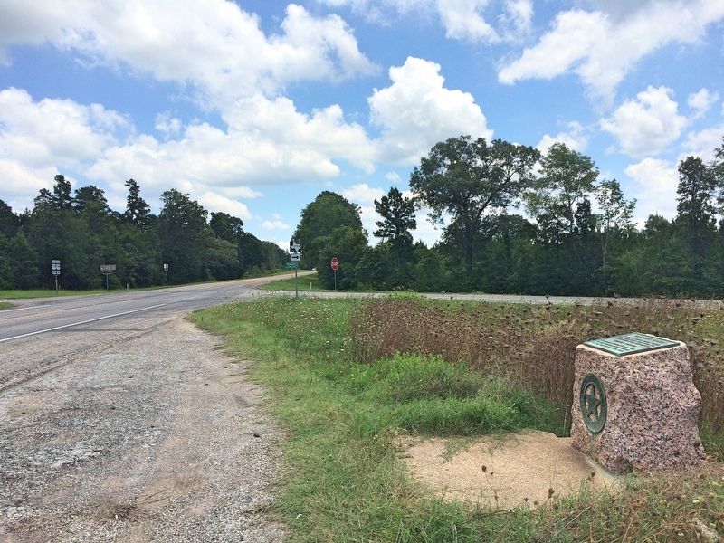
Location. 32° 8.962′ N, 94° 34.99′ W. Marker is near Henderson, Texas, in Rusk County. It is at the intersection of U.S. 79 and Farm to Market Road 1798, on the right when traveling east on U.S. 79. Marker is just feet 200 from the Panola County line. Touch for map. Marker is in this post office area: Henderson TX 75652, United States of America. Touch for directions.

Regionally, this marker is in the American South, specifically in the Deep South, and in the Piney Woods. Globally, it is in North America, a Gulf of Mexico state, the Western Hemisphere,
this page online
Other nearby markers. At least 8 other markers are within 5 miles of this marker, measured as the crow flies: Liberty Missionary Baptist Church (approx. 2½ miles away); Waldrop Cemetery (approx. 2.7 miles away); Bridges Cemetery (approx. 2.8 miles away); Blossom Hill United Methodist Church (approx. 3 miles away); Buckner Cemetery (approx. 3 miles away); Allison Chapel United Methodist Church (approx. 3.2 miles away); Pine Hill Methodist Cemetery (approx. 4.3 miles away); Sugar Hill Cemetery (approx. 4.7 miles away). Touch for a list and map of all markers in Henderson.
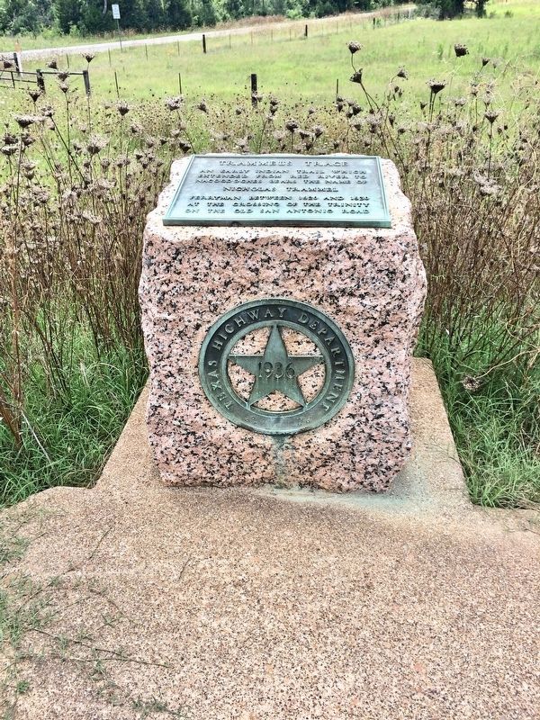
More about this marker. This is one of the pink granite, 1936 Centennial Highway markers.
Regarding Trammel's Trace. Trammel’s Trace was the second major route into Spanish Texas from the United States and the first route from the northern boundaries along the Red River. In the early 1800’s Trammel’s Trace was a smugglers’ trail, but later became a path for immigration
Photographed by Mark Hilton, June 28, 2017
2. Trammel's Trace - 1936 Texas Centennial marker.
Photographed by Mark Hilton, June 28, 2017
3. View of marker looking east towards Panola County and FM 1798.
Photographed by Mark Hilton, June 28, 2017
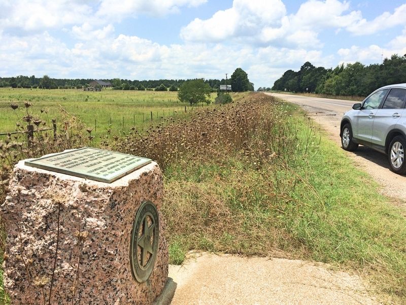
4. View from marker looking towards the city of Henderson, about 10 miles west.
Credits. This page was last revised on April 20, 2021. It was originally submitted on June 28, 2017, by Mark Hilton of Montgomery, Alabama. This page has been viewed 1,603 times since then and 123 times this year. Photos: 1, 2, 3, 4. submitted on June 28, 2017, by Mark Hilton of Montgomery, Alabama.
