Indian Church, Orange Walk, Belize — Central America
Royal Complex at Lamanai
Photographed by J. Makali Bruton, May 18, 2017
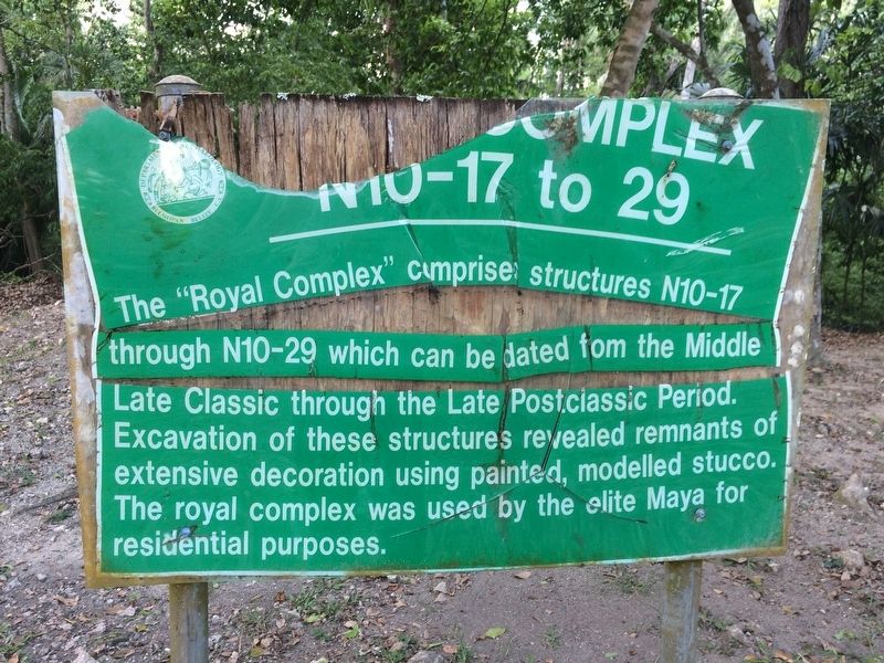
1. Royal Complex at Lamanai Marker
N10-17 to 29
Erected by Department of Archaeology.
Topics. This historical marker is listed in these topic lists: Anthropology & Archaeology • Architecture • Indigenous Peoples and Communities • Man-Made Features.
Location. 17° 45.951′ N, 88° 39.156′ W. Marker is in Indian Church, Orange Walk. It can be reached from no nearby street. The marker is just north of the Royal Complex and Jaguar Temple, some 75 meters northwest of the visitors center at the Lamanai Archaeological Site. Touch for map. Marker is in this post office area: Indian Church, Orange Walk 7LC1V KSXX8, Belize. Touch for directions.

Regionally, it is in North America, Central America, Mesoamerica, the Western Hemisphere,
this page online
Other nearby markers. At least 2 other markers are within walking distance of this marker: Stela 9 at Lamanai (within shouting distance of this marker); The High Temple at Lamanai (about 180 meters away, measured in a direct line).
Photographed by J. Makali Bruton, May 18, 2017
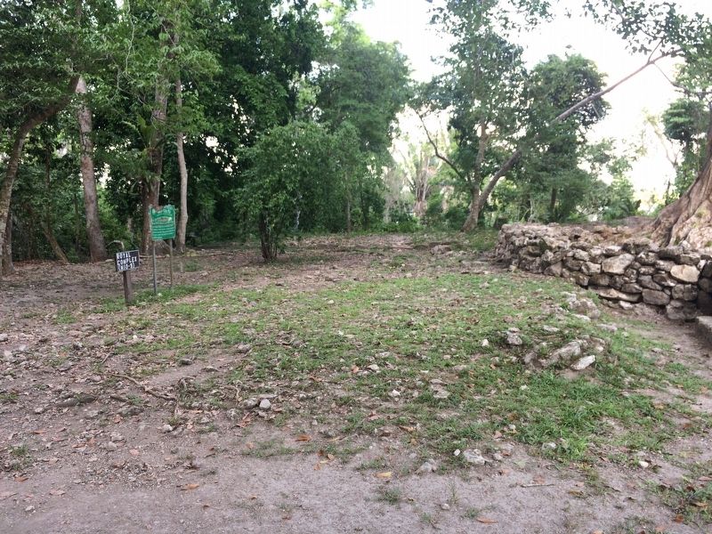
2. Royal Complex at Lamanai Marker
A portion of the remains of the Royal Complex can be seen to the right (south) in this view.
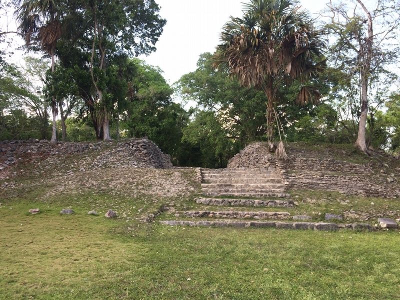
Photographed by J. Makali Bruton, May 18, 2017
3. A view towards the north at the Royal Complex at Lamanai
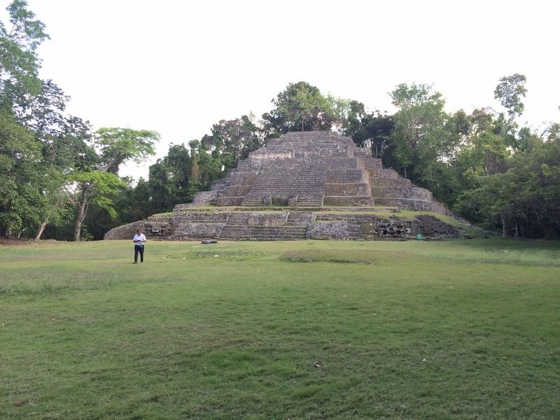
Photographed by J. Makali Bruton, May 18, 2017
4. The Jaguar Temple (N10-9) at Lamanai
This view is south from the Royal Complex, looking over an area known as the Jaguar Plaza.
Credits. This page was last revised on April 10, 2026. It was originally submitted on July 5, 2017, by J. Makali Bruton of Washington, District of Columbia. This page has been viewed 347 times since then and 24 times this year. Photos: 1, 2, 3, 4. submitted on July 5, 2017, by J. Makali Bruton of Washington, District of Columbia.
