Zona Centro in San Miguel de Allende, Guanajuato, Mexico — The Central Highlands (North America)
Armory of the Insurgents
Photographed by J. Makali Bruton, June 11, 2017
1. Armory of the Insurgents Marker
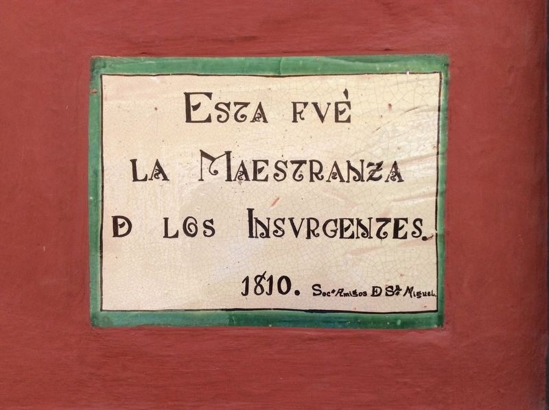
la Maestranza
de los Insurgentes.
1810.
Socd Amigos de Sn Miguel
1810.
Society of the Friends of San Miguel
Erected by Sociedad de Amigos de San Miguel.
Topics. This memorial is listed in these topic lists: Colonial Era • Man-Made Features • Wars, Non-US.
Location. 20° 54.792′ N, 100° 44.713′ W. Memorial is in San Miguel de Allende, Guanajuato. It is in Zona Centro. It is on Calle Hernández Macias just north of Calle Pila Seca, on the left when traveling north. Touch for map. Memorial is at or near this postal address: 95 Calle Hernández Macias, San Miguel de Allende GTO 37700, Mexico. Touch for directions.

Regionally, this memorial is in Central Mexico and in the Bajío. Globally, it is in North America, on the Ring of Fire, and in the Western Hemisphere. Historically, it finds itself in what was once New Spain, a Spanish colony, and the Aztec Empire.
Other nearby markers. At least 8 other markers are within walking distance of this marker: Villa Zacateros
this page online
Photographed by J. Makali Bruton, June 11, 2017
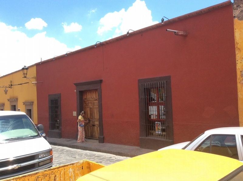
2. Armory of the Insurgents Marker
Photographed by J. Makali Bruton, June 11, 2017
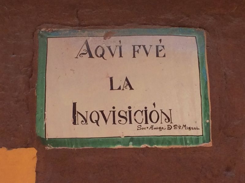
3. An additional, nearby marker on the Inquisition.
A few steps south of the featured marker is this additional marker which reads simply: Here was the Inquisition (Aquí fué la Inquisición).
Photographed by J. Makali Bruton, June 11, 2017
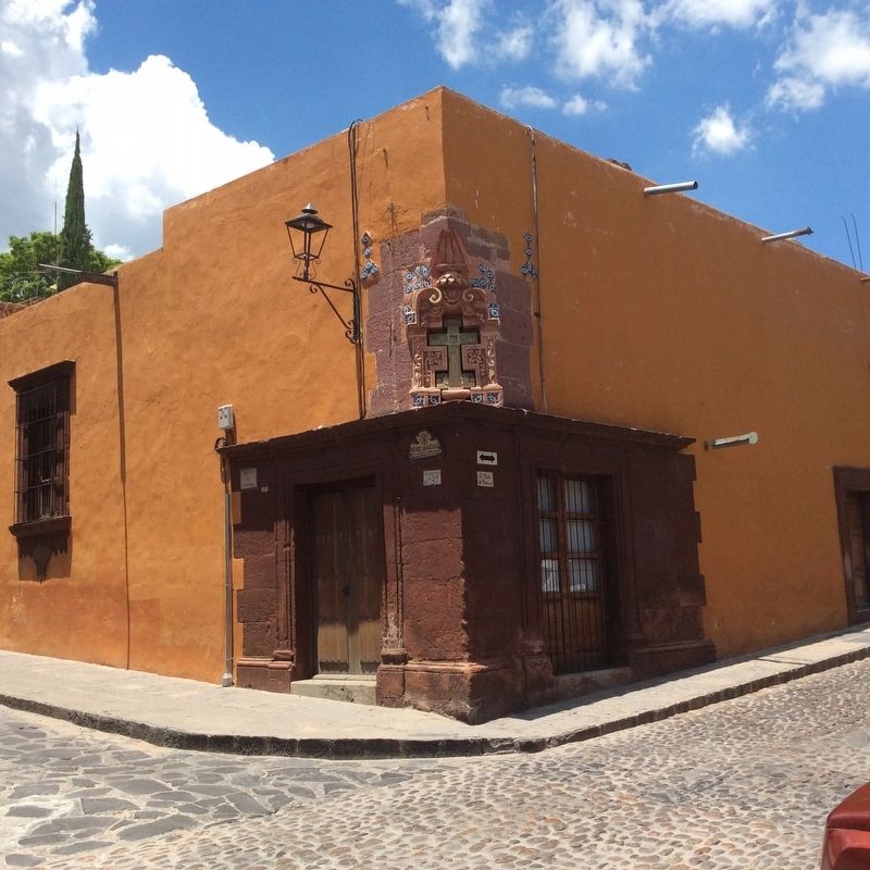
4. A wide view of the location of the Inquisition.
The nearby Inquisition marker is at the northeast corner of Calles Hernández Macias and Cuadrante.
Credits. This page was last revised on September 1, 2020. It was originally submitted on July 14, 2017, by J. Makali Bruton of Washington, District of Columbia. This page has been viewed 265 times since then and 8 times this year. Photos: 1, 2, 3, 4. submitted on July 14, 2017, by J. Makali Bruton of Washington, District of Columbia.
