Teotihuacán de Arista in Teotihuacán, Mexico State, Mexico — The Central Highlands (North America)
The History of Teotihuacán
Photographed by J. Makali Bruton, June 28, 2017
1. The History of Teotihuacán Marker
this page online
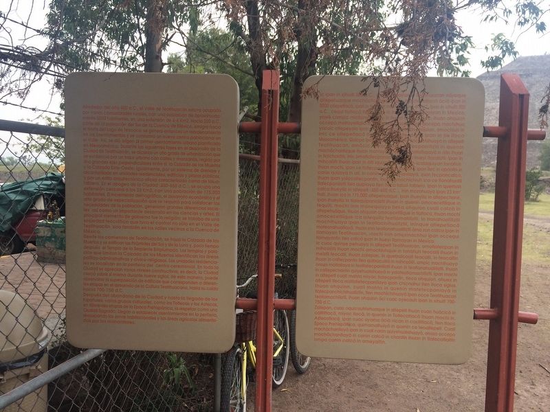
Desde los comienzos de Teotihuacán, se traza la Calzada de los Muertos y se edifican los Pirámides del Sol y de la Luna y, poco tiempo después el Templo de la Serpiente Emplumada. Los templos y palacios que limitan la Calzada de los Muertos identifican las áreas político-administrativos y cívico-religiosas. Las unidades residenciales se localizan en la periferia del centro ceremonial. En toda la Ciudad se aprecian varios niveles constructivos, es decir, la Ciudad creció sobre sí misma durante nueve siglos; de esta manera, puede observarse la superposición de edificios que corresponden a diferentes etapas en el desarrollo de la Cultura Teotihuacana, hasta su caída hacia 700-750 d.C.
Después del abandono de la Ciudad y hasta
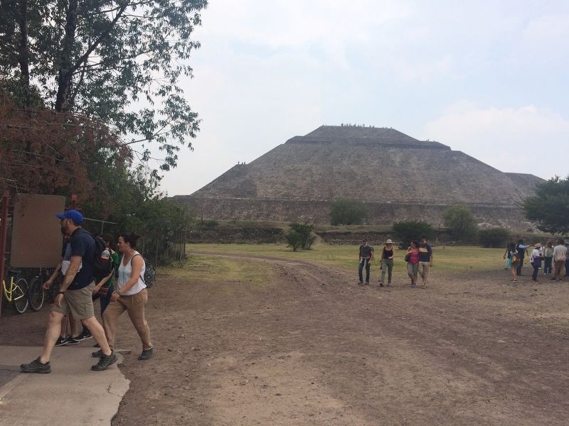
Photographed by J. Makali Bruton, June 28, 2017
2. The History of Teotihuacán Marker
Náhuatl:
Photographed by J. Makali Bruton, June 28, 2017
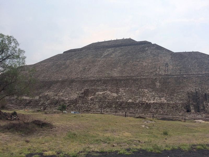
3. The northern face of the Pyramid of the Sun, seen from near The History of Teotihuacán Marker
Ic cuac quinye pehuaya in altepetl Teotihuacan, omotlatecpan in mihcaotli ihuan mochi omochiuhque in tonatiuh teocalli ihuan in metztli teocalli, ihuan zatepan, in quetzalcoatl teocalli. In teocaltin ihuan in caltecpantin tlen quitzacuilia in mihcaotli, ompic mochihuaya onozo motlaliaya in teotlatecpaniliztli ihuan in teotlanahuatiliztli. Ihuan in caltepechantin quiyehualohuaya in yoloteotlamachiliztli. Ipan mochi in altepetl cuali mohta miyac tlatecpantin, tleca ohquion, ohuex in altepetl tleca motlatetecpantiaya ipan chicnahul tlen itoca siglos. Ihuan ohquion, cuali mohta in quenin motetecpaniaya in tlatecpanchichihualiztin, tlen mochichihuaya ipan occe Teotihuacan teoltlamachiliztli, ihuan ohquion aci cuac oyecauh ipan in xihuitl 700-750 d. C.
Zatepan, cuac oquicauhtehuaque in altepetl ihuan cuac huàcico in caltiltlaca, miyac tlaca, in quenin in Toltecatlaca ihuan mochi in. Aztecatlaca ipan cuac ayamo àcia nican in caxtiltlaca, tlen itoca Epoca Prehispánica, quimomalhuiya in quenin ce teoaltepetl. Cuali mochachantiaya ipan in cuali canin quiyehualohuaya, onozo occepa mochachantiaya in canin catca in chantin ihuan in tlatocatlaltin ompa canin catca in ameyaltin.
English translation:
Since the beginnings of Teotihuacán, the Calzada de los Muertos was laid out and the Pyramids of the Sun and Moon built. Shortly afterwards the Temple of the Feathered Serpent was also constructed. The temples and palaces that border the Calzada de los Muertos identify political-administrative and civic-religious areas. The residential units are located on the periphery of the ceremonial center. Throughout the city there are several levels of construction, that is to say, the city grew on and over itself for nine centuries. In this way, one can observe the superposition of buildings that correspond to different stages in the development of the Teotihuacan culture, until its fall towards the period of 700-750 CE.
After the abandonment of the city and until the arrival of the Spanish, several cultural groups, such as the Toltecs and the Aztecs, in different stages of the Prehispanic Age, respected it as a sacred city. They established settlements on the periphery, reoccupying residential areas and spring-fed farmland.
Topics. This historical marker is listed in these topic lists: Anthropology & Archaeology • Architecture • Indigenous Peoples and Communities • Man-Made Features.
Location. 19° 41.669′ N, 98° 50.541′ W. Marker is in Teotihuacán de Arista, Estado de Mexico (Mexico State), in Teotihuacán. It can be reached from Avenida San Francisco just west of Calle Tuxpan. The marker is near Gate 4 (Puerto 4) of the Teotihuacán Archaeological Site. Touch for map. Marker is in this post office area: Teotihuacán de Arista MEX 55880, Mexico. Touch for directions.

Regionally, this marker is in Central Mexico and specifically in Mexico City Metropolitan Area. Globally, it is in North America, specifically in Mesoamerica, on the Ring of Fire, and in the Western Hemisphere. Historically, it finds itself in what was once New Spain, a Spanish colony, and the Aztec Empire.
Other nearby markers. At least 8 other markers are within walking distance of this marker: The Importance of the Pyramid of the Sun (approx. 0.3 kilometers away); A Ceremonial Incense Burner (approx. 0.3 kilometers away); Mural del Puma / The Puma Mural (approx. 0.3 kilometers away); Late Occupation of Teotihuacan and the Mexica Presence (approx. 0.3 kilometers away); The Meaning of the Pyramid of the Sun (approx. 0.4 kilometers away); Miccoatli (approx. 0.4 kilometers away); Pyramid of the Sun (approx. 0.4 kilometers away); The Temple of Agriculture (approx. 0.4 kilometers away). Touch for a list and map of all markers in Teotihuacán de Arista.
Credits. This page was last revised on December 15, 2017. It was originally submitted on July 17, 2017, by J. Makali Bruton of Washington, District of Columbia. This page has been viewed 281 times since then and 22 times this year. Photos: 1, 2, 3. submitted on July 18, 2017, by J. Makali Bruton of Washington, District of Columbia.
