Near Coahoma in Coahoma County, Mississippi — The American South (East South Central)
Salomon Mounds
| — | Mississippi Mound Trail | — |
Photographed by Mark Hilton, August 25, 2017
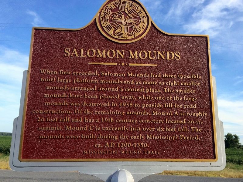
1. Salomon Mounds Marker (main)
When first recorded, Salomon Mounds had three (possibly four) large platform mounds and as many as eight smaller mounds arranged around a central plaza. The smaller mounds have been plowed away, while one of the large mounds was destroyed in 1958 to provide fill for road construction. Of the remaining mounds, Mound A is roughly 26 feet tall and has a 19th century cemetery located on its summit. Mound C is currently just over six feet tall. The mounds were built during the early Mississippi Period, ca. AD 1200-1350.
Lower Plaque
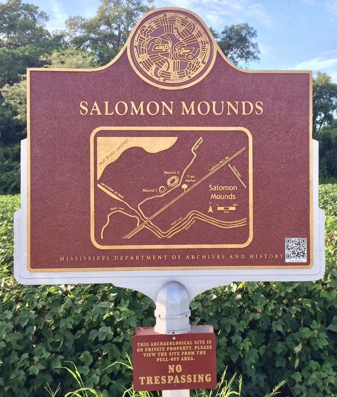
This archaeological site is on private property. Please view the site from the pull-off area.
NO TRESPASSING
Erected 2016 by the Mississippi Department of Archives and History.
Topics and series. This historical marker is listed in these topic lists: Anthropology & Archaeology • Cemeteries & Burial Sites • Indigenous Peoples and Communities • Settlements & Settlers. In addition, it is included in the Mississippi Mound Trail series list. A significant historical year for this entry is 1958.
Location. 34° 22.618′ N, 90° 29.356′ W. Marker is near Coahoma, Mississippi, in Coahoma County.
this page online

Regionally, this marker is in Greater Memphis. It is also in the American South, specifically in the Deep South, in the Mississippi Delta, and in the Great River Road Region. Globally, it is in North America, a Gulf of Mexico state, the Western Hemisphere, the Western World, and the Anglosphere. Historically, it finds itself in what was once New Spain, the territory of the Mississippian Culture, one of the Confederate States of America, and the Antebellum South.
Other nearby markers. At least 8 other markers are within 9 miles of this marker, measured as the crow flies: Yazoo Pass Expedition (approx. 1.4 miles away); Uncle Henry's (approx. 4.2 miles away); "Livin' at Lula" (approx. 5.3 miles away); James L. Alcorn (approx. 7 miles away); Hernando De Soto Commemorative Bridge (approx. 8 miles away); Friars Point United Methodist Church (approx. 8.4 miles away); "The Minnie Ball House"
Photographed by Mark Hilton, August 25, 2017
2. Salomon Mounds Marker (area map drawing)
More about this marker. The principal mound appears much larger from the channel bed than from the surrounding landscape. A survey of other mounds in the area may potentially reveal this to be a common trend in construction.
Also see . . . Mississippi Mound Trail. Mississippi Historical Markers website entry (Submitted on October 18, 2023, by Mark Hilton of Montgomery, Alabama.)
Photographed by Mark Hilton, August 25, 2017
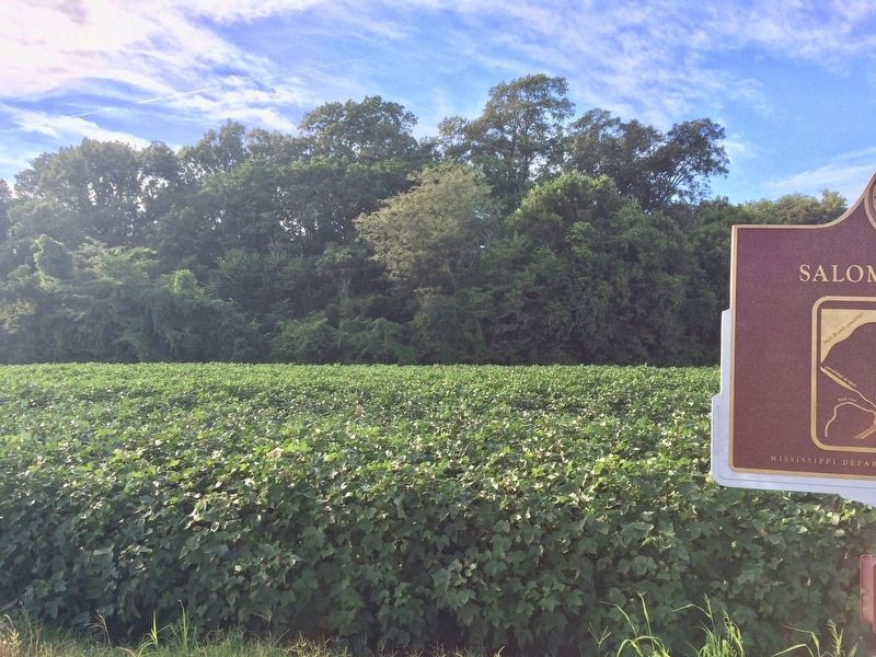
3. View towards mound area in trees. (Private property)
Photographed by Mark Hilton, August 25, 2017
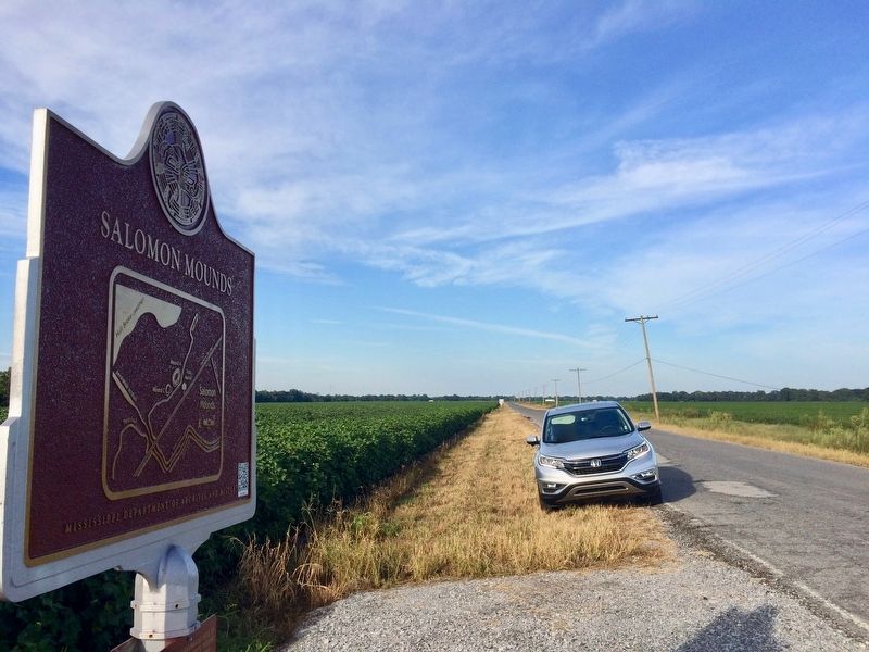
4. View from marker north towards Highway 61.
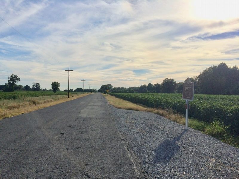
Photographed by Mark Hilton, August 25, 2017
5. Looking south towards Salmon Road.
Credits. This page was last revised on April 1, 2024. It was originally submitted on August 29, 2017, by Mark Hilton of Montgomery, Alabama. This page has been viewed 1,383 times since then and 91 times this year. Photos: 1, 2, 3, 4, 5. submitted on August 29, 2017, by Mark Hilton of Montgomery, Alabama.
