Pearlington in Hancock County, Mississippi — The American South (East South Central)
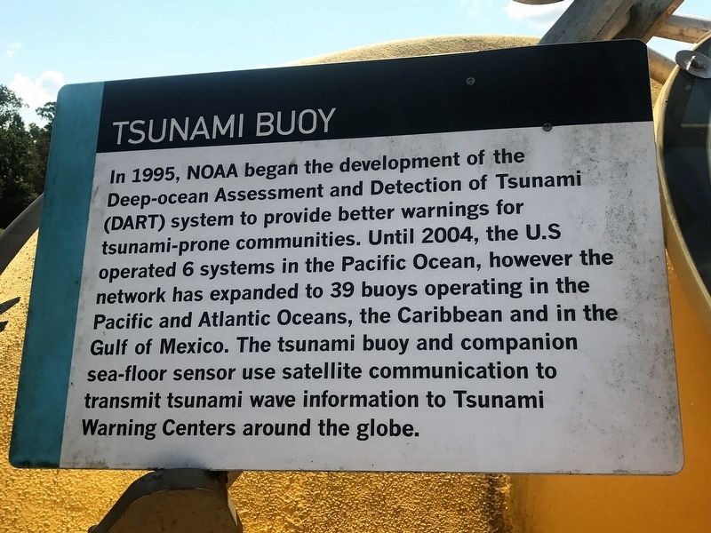
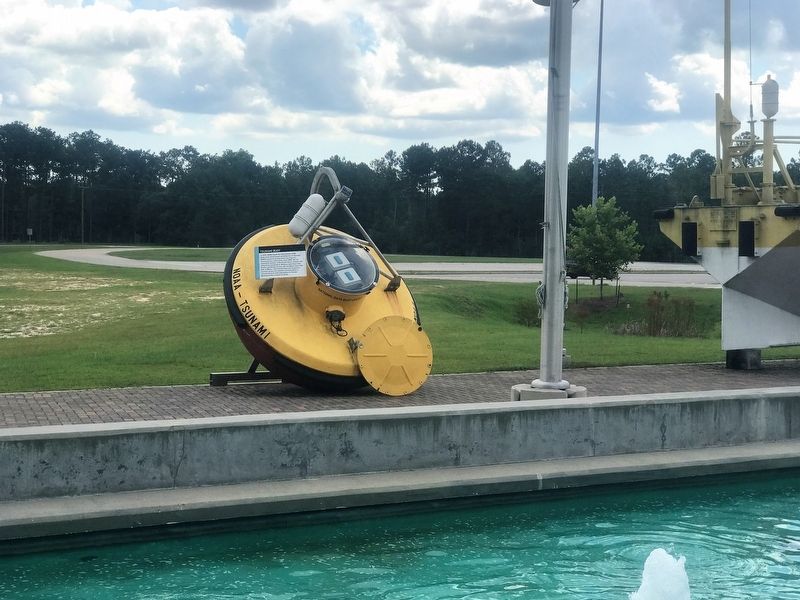
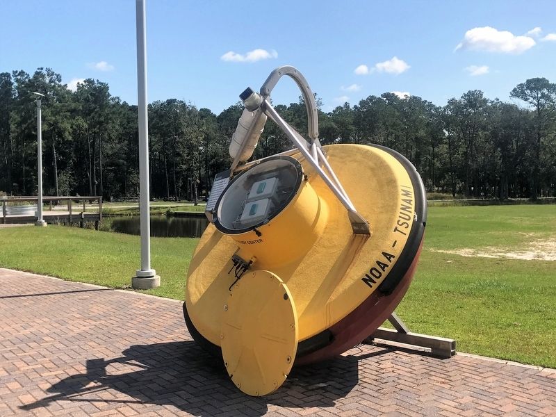
Tsunami Buoy
In 1995, NOAA began the development of the Deep-ocean Assessment and Detection of Tsunami (DART) system to provide better warnings for tsunami-prone communities. Until 2004, the U.S. operated 6 systems in the Pacific Ocean, however the network has expanded to 39 buoys operating in the Pacific and Atlantic Oceans, the Caribbean and the Gulf of Mexico. The tsunami buoy and companion sea-floor sensor use satellite communication to transmit tsunami wave information to Tsunami Warning Centers around the globe.
Topics. This historical marker is listed in these topic lists: Environment • Science & Medicine • Waterways & Vessels.
Location. 30° 18.719′ N, 89° 36.257′ W. Marker is in Pearlington, Mississippi, in Hancock County. Marker can be reached from Discovery Circle, half a mile west of State Highway 607, on the right when traveling west. Touch for map. Marker is at or near this postal address: 1 Discovery Circle, Pearlington MS 39572, United States of America. Touch for directions.
Other nearby markers. At least 8 other markers are within 2 miles of this marker, measured as the crow flies. TAO Buoy (here, next to this marker); Special Operations Craft Riverine (a few steps from this marker); H-1 Rocket Engine (a few steps from this marker); F-1 Rocket Engine (within shouting distance of this marker); Infinity Eagle (within shouting distance of this marker); Gainesville Volunteers (approx. ¼ mile away); Napoleon (approx. 1.9 miles away); John C. Stennis Space Center (approx. 2 miles away). Touch for a list and map of all markers in Pearlington.
More about this marker. Located at the Infinity Science Center, off of exit 2 off of Interstate 10 Mississippi east bound.
Also see . . . Infinity Science Center. (Submitted on September 2, 2017.)
Credits. This page was last revised on June 2, 2023. It was originally submitted on September 2, 2017, by Cajun Scrambler of Assumption, Louisiana. This page has been viewed 257 times since then and 22 times this year. Photos: 1, 2, 3. submitted on September 2, 2017.


