Wilkesville in Vinton County, Ohio — The American Midwest (Great Lakes)
Wilkesville
An All-Too-Brief Rest
— John Hunt Morgan Heritage Trail —
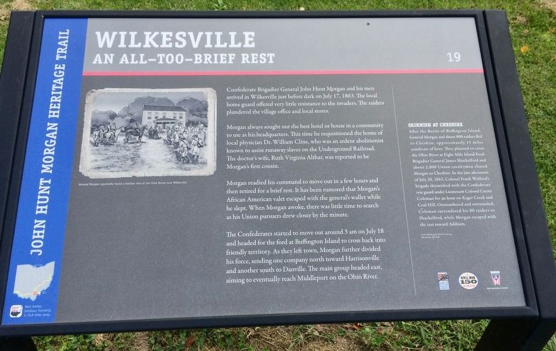
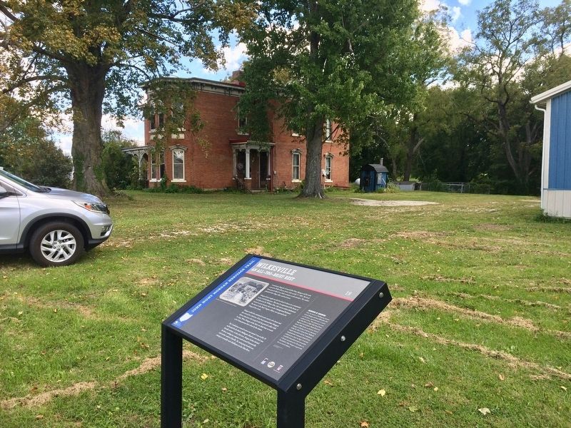
Morgan always sought out the best hotel or house in a community to use as his headquarters. This time he requisitioned the home of local physician Dr. William Cline, who was an ardent abolitionist known to assist runaway slaves on the Underground Railroad. The doctor's wife, Ruth Virginia Althar, was reported to be Morgan's first cousin.
Morgan readied his command to move out in a few hours and then retired for a brief rest. It has been rumored that Morgan's African American valet escaped with the general's wallet while he slept. When Morgan awoke, there was little time to search as his Union pursuers drew closer by the minute.
The Confederates started to move out around 3 am on July 18 and headed for the ford at Buffington Island to cross back into friendly territory. As they left town, Morgan further divided his force, sending one company north toward Harrisonville and another south to Danville. The main group headed east, aiming to eventually reach Middleport on the Ohio River.
Skirmish at Cheshire
After the Battle of Buffington Island, General Morgan and about 800 raiders fled to Cheshire, approximately 15 miles southeast of here. They planned to cross the Ohio River at Eight Mile Island Ford. Brigadier General James Shackelford and about 1,000 Union cavalrymen chased Morgan to Cheshire. In the late afternoon of July 20, 1863, Colonel Frank Wolford's brigade skirmished with the Confederate rear guard under Lieutenant Colonel Cicero Coleman for an hour on Kyger Creek and Coal Hill. Outnumbered and surrounded, Coleman surrendered his 80 raiders to Shackelford, while Morgan escaped with the rest toward Addison.
[Photo caption]: General Morgan reportedly found a familiar face at the Cline House near Wilkesville.
Text: Edd Sharp & David L. Mowery
Illustration: Bev Kirk
Erected 2013 by the Ohio Department of Transportation, the Ohio History Connection, and the Ohio Civil War Trail Commission. (Marker Number 19.)
Topics and series. This historical marker is listed in these topic lists: Abolition & Underground RR • War, US Civil • Waterways & Vessels. In addition, it is included in the John Hunt Morgan Heritage Trail in Ohio series list. A significant historical date for this entry is July 17, 1863.
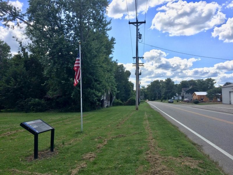
Location. 39° 4.464′ N, 82° 19.585′ W. Marker is in Wilkesville, Ohio, in Vinton County. Marker is on South Mill Street (Ohio Route 160) south of Main Street (Ohio Route 124), on the left when traveling south. Touch for map. Marker is at or near this postal address: 100 South Mill Street, Wilkesville OH 45695, United States of America. Touch for directions.
Other nearby markers. At least 8 other markers are within 8 miles of this marker, measured as the crow flies. Morgan's Raid in Vinton County (about 600 feet away, measured in a direct line); Henry Duc and the Defenders of Our Country (about 700 feet away); Ewington Academy (approx. 4.7 miles away); Bridge Loft / Charging House (approx. 7 miles away); Charcoal (approx. 7.1 miles away); Raw Materials (approx. 7.1 miles away); Limestone (approx. 7.1 miles away); Stock Shed (approx. 7.1 miles away). Touch for a list and map of all markers in Wilkesville.
Credits. This page was last revised on September 14, 2017. It was originally submitted on September 13, 2017, by Mark Hilton of Montgomery, Alabama. This page has been viewed 606 times since then and 54 times this year. Photos: 1, 2, 3. submitted on September 13, 2017, by Mark Hilton of Montgomery, Alabama.


