Savannah in Hardin County, Tennessee — The American South (East South Central)
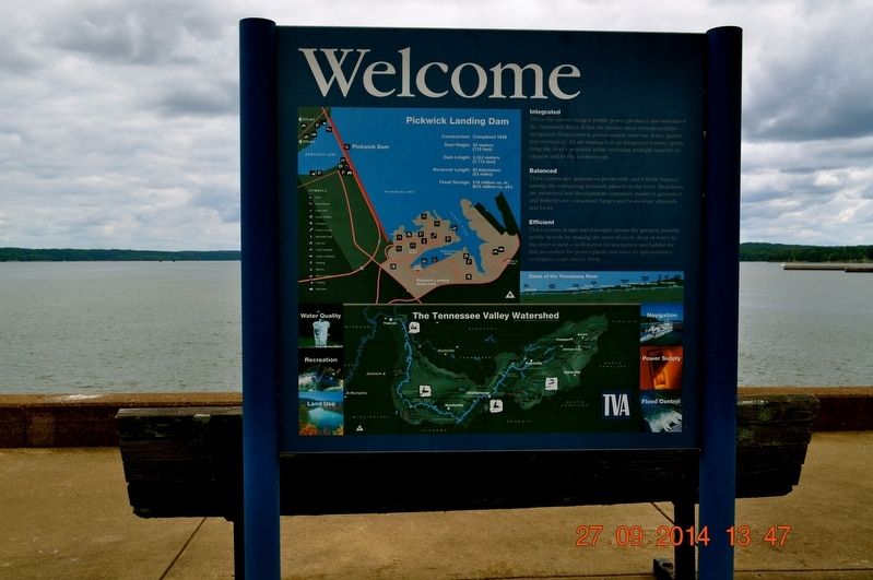
Welcome
Photographed by Sandra Hughes, September 27, 2014
1. Welcome Marker
Pickwick Landing Dam
Construction: Completed 1938
Dam Height: 34 meters (113 feet)
Dam Length: 2,352 meters (7,715 feet)
Reservoir Length: 85 kilometers (53 miles)
Flood Storage: 516 million cu. m. (675 million cu. yd.)
Intergrated
TVA is the nation's largest public power producer and steward of the Tennessee River. It has six distinct areas of responsibility-navigation, flood control, power supply, land use, water quality, and recreation. All are managed as an integrated system optimizing the river's potential while returning multiple benefits to citizens and to the environment.
Balanced
TVA's experience guarantees predictable and reliable balance among the competing demands placed on the river. Shorelines are protected and development continues; power is generated and fisheries are conserved; barges and boats share channels and locks.
Efficient
TVA's system design and foresight ensure the greatest possible public benefit by making the most of every drop of water the river system-as flotation for navigation and habitat for fish; as coolant for power plants and force to spin turbines' to irrigate crops
this page online
Topics. This historical marker is listed in these topic lists: Environment • Man-Made Features • Waterways & Vessels. A significant historical year for this entry is 1938.
Location. 35° 4.366′ N, 88° 15.047′ W. Marker is in Savannah, Tennessee, in Hardin County. It is on Power Lane. Located next to the Pickwick Dam. Touch for map. Marker is in this post office area: Savannah TN 38372, United States of America. Touch for directions.

Regionally, this marker is in West Tennessee. It is also in the American South and specifically in the Upper South. Globally, it is in North America, the Western Hemisphere, the Western World, and the Anglosphere. Historically, it finds itself in what was once the territory of the Mississippian Culture, one of the Confederate States of America, and the Antebellum South.
Other nearby markers. At least 8 other markers are within 6 miles of this marker, measured as the crow flies: The Turbine (within shouting distance of this marker); The Civilian Conservation Corps and Pickwick Landing State Park (approx. 1.6 miles away); Pickwick Landing (approx. 1.7 miles away); Battle of Shiloh
Photographed by Sandra Hughes, September 27, 2014
2. Welcome Marker
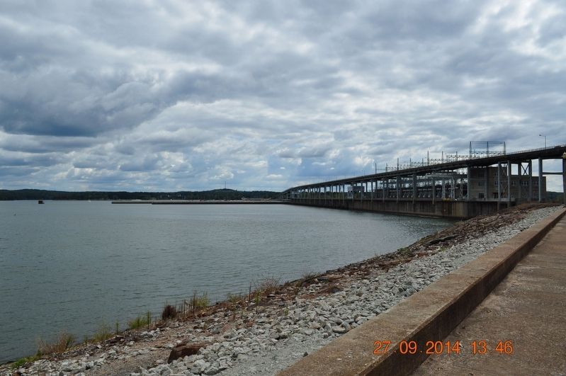
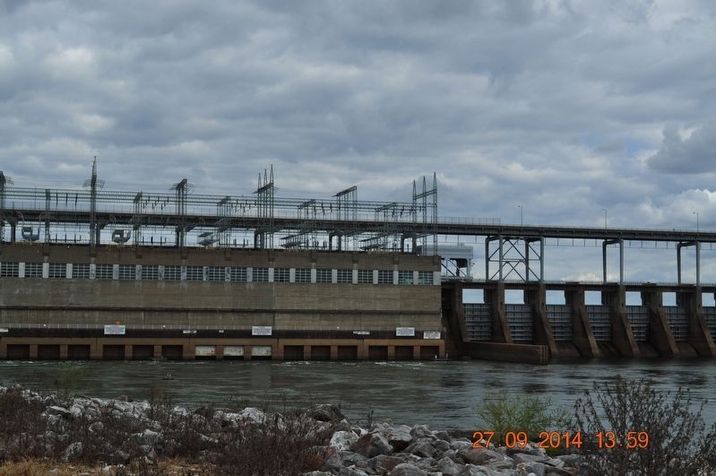
Also see . . . Pickwick Landing. Pickwick Reservoir is located in southwest Tennessee. It extends 53 miles south from the dam along the Mississippi-Alabama state line and then east into Alabama. The dam was completed in 1938, and the first two of its six hydroelectric generating units began operation the same year. Pickwick Landing Dam is a significant producer of hydroelectric power. It provides a flat pool of water that extends eastward to Wilson Dam in Alabama and covers a portion of the treacherous Muscle Shoals, which once hampered navigation on the Tennessee River. (Submitted on September 15, 2017, by Sandra Hughes Tidwell of Killen, Alabama, USA.)
Photographed by Sandra Hughes, September 27, 2014
3. Welcome Marker
Photographed by Sandra Hughes, September 27, 2014
4. Welcome Marker
Credits. This page was last revised on January 9, 2018. It was originally submitted on September 15, 2017, by Sandra Hughes Tidwell of Killen, Alabama, USA. This page has been viewed 431 times since then and 34 times this year. Photos: 1, 2, 3, 4. submitted on September 15, 2017, by Sandra Hughes Tidwell of Killen, Alabama, USA. • Bill Pfingsten was the editor who published this page.
