Nancy Ward
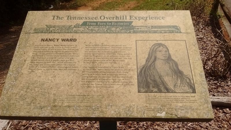
Nancy became a prominent War Woman and Beloved Woman (Ghi-ga-u). She helped respected male elders (Beloved Men) carry out ceremonies and assisted war leaders with negotiations. Among British and Americans, Nancy gained a myth-like reputation as an emissary, orator, and protector of white settlers and captives. She was known by the surname of a British trader, Bryan(t) Ward, whom she married.
After repeated destruction of Chota in the 1770s-1780s, Nancy Ward, her children, and other kin moved south of the Hiwasee River, finally settling at Amoiah, near
this page online
On May 2, 1817, a Woman’s Council, led by the elderly Nancy Ward (or her representative), presented and signed an address to a Cherokee National Council meeting at nearby Amoiah. They demanded an end to the ceding of Cherokee lands, which by tradition belonged to Cherokee women and their children.
Caption:
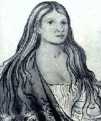
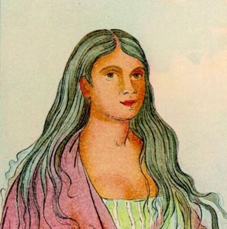
Sketch of a Cherokee woman drawn circa 1838-1839 by George Catlin
From Catlin, North American Indians, 1913
Erected by Tennessee Dept. of Transportation; Tennessee 200, Inc.; East Tennessee Foundation; the counties of McMinn, Monroe, and Polk.
Topics and series. This historical marker is listed in these topic lists: Colonial Era • Indigenous Peoples and Communities • Women. In addition, it is included in the A Tennessee Overhill Experience - From Furs to Factories series list. A significant historical date for this entry is May 2, 1817.
Location. 35° 9.867′ N, 84° 40.786′ W. Marker is
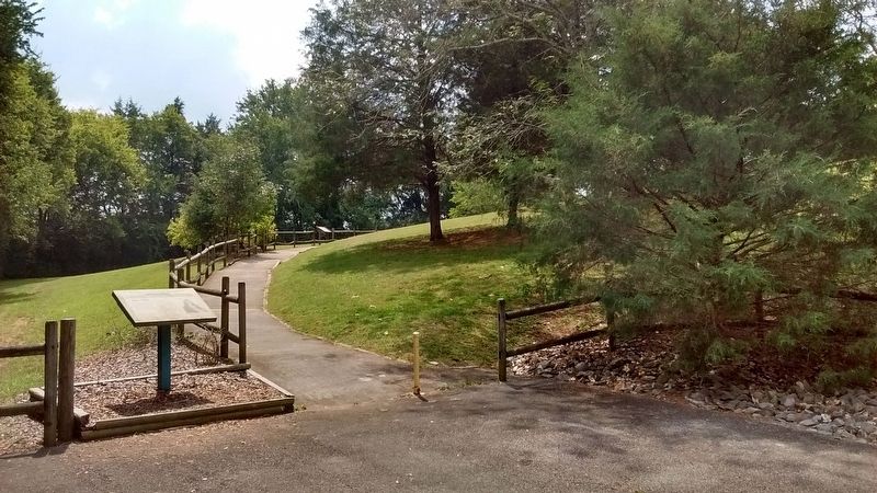

Regionally, this marker is in East Tennessee. It is also in the American South, specifically in the Upper South, in Appalachia, and specifically in Southern Appalachia. Globally, it is in North America, the Western Hemisphere, the Western World, and the Anglosphere. Historically, it finds itself in what was once the original Cherokee Nation, the territory of the Mississippian Culture, one of the Confederate States of America, and the Antebellum South.
Other nearby markers. At least 8 other markers are within 5 miles of this marker, measured as the crow flies: A different marker also named Nancy Ward (about 300 feet away, measured in a direct line); Bear Lawson Bridge (approx. 1½ miles away); Civil War in Polk County (approx. 1.6 miles away); Historic Benton Station (approx. 1.6 miles away); Polk County World Wars Memorial (approx. 1.6 miles away); Polk County Veterans Monument
Another marker is no longer nearby. Confederate Campsite Interpretive Site (was approx. 3.7 miles away but has been confirmed missing).
Related markers. Click here for a list of markers that are related to this marker.
Also see . . . Nancy Ward. (Submitted on October 26, 2017, by Tom Bosse of Jefferson City, Tennessee.)
Credits. This page was last revised on October 27, 2017. It was originally submitted on October 26, 2017, by Tom Bosse of Jefferson City, Tennessee. This page has been viewed 1,655 times since then and 98 times this year. Photos: 1, 2, 3. submitted on October 26, 2017, by Tom Bosse of Jefferson City, Tennessee. 4. submitted on October 27, 2017, by J. Makali Bruton of Washington, District of Columbia. • Bill Pfingsten was the editor who published this page.
