Marker Logo HMdb.org THE HISTORICAL
MARKER DATABASE
“Bite-Size Bits of Local, National, and Global History”
Pioneer in West Carroll Parish, Louisiana — The American South (West South Central)
 

Poverty Point Earthworks

Ancient Mounds Trail


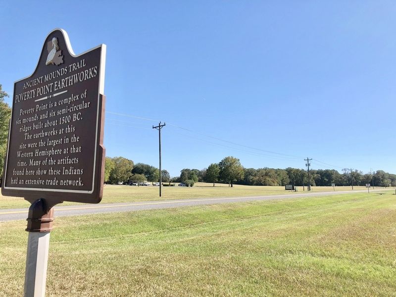
Poverty Point Earthworks Marker image. Click for full size.
Photographed By Mark Hilton, October 25, 2017
1. Poverty Point Earthworks Marker
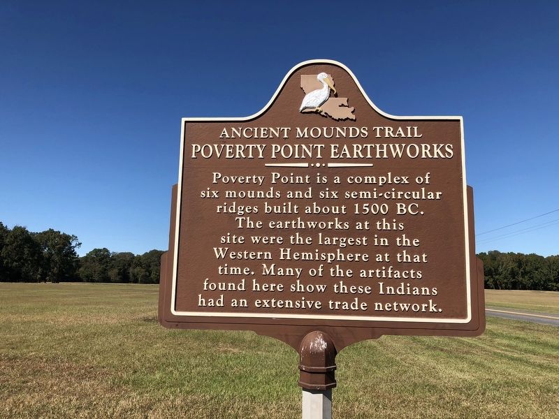
Inscription. Poverty Point is a complex of six mounds and six semi-circular ridges built about 1500 BC. The earthworks at this site were the largest in the Western Hemisphere at that time. Many of the artifacts found here show these Indians had an extensive trade network.
 
Erected by the State of Louisiana.
 
Topics and series. This historical marker is listed in these topic lists: Anthropology & ArchaeologyNative Americans. In addition, it is included in the Louisiana Ancient Mounds Trail series list. A significant historical year for this entry is 1500.
 
Location. 32° 38.173′ N, 91° 24.316′ W. Marker is in Pioneer, Louisiana, in West Carroll Parish. Located just past the Poverty Point World Heritage Site entrance heading north. Touch for map. Marker is at or near this postal address: 6859 LA-577, Pioneer LA 71266, United States of America. Touch for directions.
 
Other nearby markers. At least 8 other markers are within walking distance of this marker. A different marker also named Poverty Point Earthworks (about 500 feet away, measured in a direct line); After Poverty Point (about 500 feet away); Poverty Point World Heritage Site (about 500 feet away); Peopling of the Americas (about 500 feet away); Poverty Point Artifacts (about 500 feet away); The Natural and Cultural Environment
Paid Advertisement
Click on the ad for more information.
Please report objectionable advertising to the Editor.
Click or scan to see
this page online
(about 500 feet away); Before Poverty Point (about 500 feet away); This is Poverty Point (about 500 feet away). Touch for a list and map of all markers in Pioneer.
 
Also see . . .
1. Indian Mounds of Northeast Louisiana - Poverty Point Earthworks. (Submitted on October 27, 2017, by Mark Hilton of Montgomery, Alabama.)
2. Wikipedia article on Poverty Point. (Submitted on October 27, 2017, by Mark Hilton of Montgomery, Alabama.)
 
View from marker towards Poverty Point World Heritage Site entrance. image. Click for full size.
Photographed By Mark Hilton, October 25, 2017
2. View from marker towards Poverty Point World Heritage Site entrance.
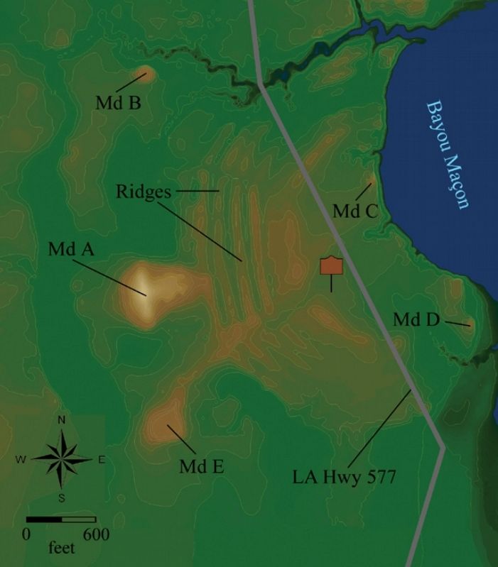
Poverty Point Earthworks map image. Click for full size.
Photographed By State of Louisiana
3. Poverty Point Earthworks map
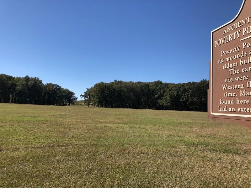
View of Mound A in background between the trees. image. Click for full size.
Photographed By Mark Hilton, October 25, 2017
4. View of Mound A in background between the trees.
Mound A is the largest mound and is about 70 feet tall and more than 700 by 640 feet at its base. Some archaeologists believe it is an effigy mound, built in the shape of a bird.
Poverty Point World Heritage Site entrance, with museum in background. image. Click for full size.
Photographed By Mark Hilton, October 25, 2017
5. Poverty Point World Heritage Site entrance, with museum in background.
 
 
Credits. This page was last revised on September 23, 2020. It was originally submitted on October 27, 2017, by Mark Hilton of Montgomery, Alabama. This page has been viewed 323 times since then and 27 times this year. Photos:   1, 2, 3, 4, 5. submitted on October 27, 2017, by Mark Hilton of Montgomery, Alabama.
Share this page.  
Share on Tumblr
m=109314

CeraNet Cloud Computing sponsors the Historical Marker Database.
This website earns income from purchases you make after using our links to Amazon.com. We appreciate your support.
Paid Advertisement
Apr. 24, 2024