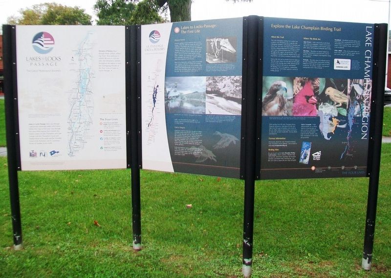
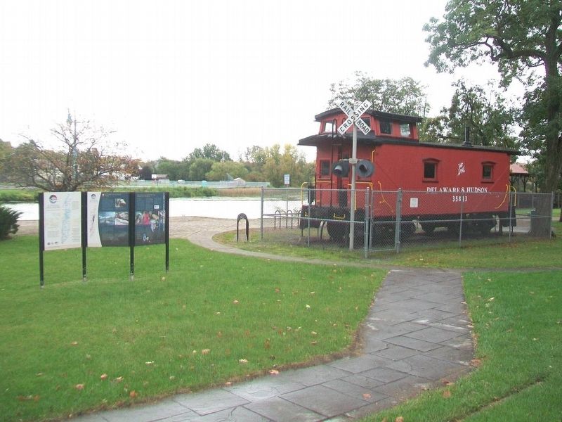
Lakes to Locks Passage
The Great Northeast Journey
Panel 1
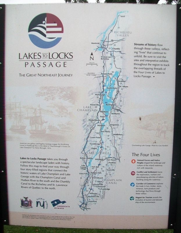
Lakes to Locks Passage takes you through a spectacular landscape laden with history. Follow this map to find your way through four story-filled regions that connect the historic waters of Lake Champlain and Lake George with the Champlain Canal and Hudson River to the south and the Chambly Canal to the Richelieu and St. Lawrence Rivers of Quebec to the north.
[Map caption reads]
Streams of history flow through these valleys, reflecting "lives" that continue to unfold. Be sure to visit the sites and interpretive exhibits throughout the region to track the overlapping threads of the Four Lives of Lakes to Locks Passage.
The Four Lives
Natural Forces and Native Peoples shaped the landscape and culture of the inland waterway rich with resources.
Conflict and Settlement traces the exploration, warfare and peacekeeping activities of nation-building along the waterway.
Corridor of Commerce explores the trade in furs, timber, stone, minerals, farm products and technology that flows through these valleys.
Magnet for Tourism reveals the evolution of tourism and stewardship of the environment
[Background photo captions, from left to right, read]
• American row galleys and flagship Saratoga engage the British brig Linnet in Plattsburgh
• Overlooking Lake George.
Panel 2
The First Life
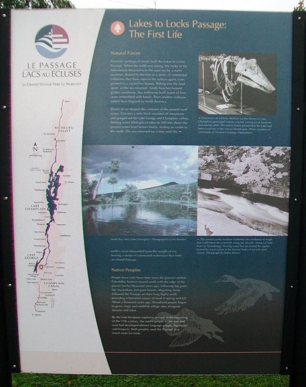
Natural Forces
Dramatic geological forces built the Lakes to Locks Passage. When the earth was young, the rocks of the Adirondack Mountains to the west lay by a warm seashore. Buried by the first in a series of continental collisions, they have risen to the surface again, compressed to a crystalline beauty. Rifting tore the land apart, so the sea returned. Sandy beaches formed golden sandstone. Sea sediments built layers of limestone embedded with fossils. Then another collision added New England to North America.
Sheets of ice shaped the contours of the present landscape. Glaciers a mile thick rounded off mountains and gouged out the Lake George and Lake Champlain valleys. Melting water filled glacial lakes to 500 feet above the present water level before finally finding an outlet to the north. The sea returned for a time until the earth's crust rebounded from the weight of ice, leaving a series of connected waterways that form an inland Passage.
Native Peoples
People have only been here since the glaciers melted. Paleolithic hunters moved north with the edge of the glacier twelve thousand years ago, following big game like mastodons and giant beaver. Migrating ducks followed the Passage
By the time European explorers arrived, at the beginning of the 17th century, the native people to the east and west had developed distinct language groups, Algonquin and Iroquois. Both peoples used the Passage as a travel route for trade.
[Photo captions, from top to bottom, read]
• Discovery of a whale skeleton on the shores of Lake Champlain generated intense interest among local residents and tourists alike. The whale bones proved that the Lake had been a salt sea in the not-so-distant past.
• South Bay inlet, Lake Champlain.
• The ancient sandy seashore hardened into sandstone so tough that it still forms the waterfalls along our streams. Along LaChute River in Ticonderoga flowing water has not erased the ripples formed by wave action or the burrow holes of ancient sand worms.
Panel 3
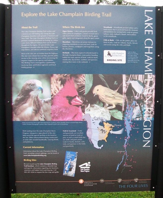
Explore the Lake Champlain Birding Trail
[Not transcribed since info is factual, not historical]
Erected by NY State Dept of Trans Scenic Byways Program and Empire State Development.
Topics. This historical marker is listed in these topic lists: Animals
Location. 43° 33.202′ N, 73° 24.158′ W. Marker is in Whitehall, New York, in Washington County. Marker is on Skenesborough Drive, on the right when traveling north. Markers are just south of the Skenesborough Museum. Touch for map. Marker is in this post office area: Whitehall NY 12887, United States of America. Touch for directions.
Other nearby markers. At least 8 other markers are within walking distance of this marker. Whitehall (a few steps from this marker); Skenesborough Museum (within shouting distance of this marker); Birthplace of the United States Navy (within shouting distance of this marker); U.S.S. Ticonderoga (within shouting distance of this marker); The Champlain Canal (about 400 feet away, measured in a direct line); Veterans Memorial (about 500 feet away); a different marker also named Birthplace of the United States Navy (about 600 feet away); World War Memorial (about 600 feet away). Touch for a list and map of all markers in Whitehall.
Also see . . .
1. Lakes to Locks Passage Corridor Management Plan. (Submitted on November 2, 2017, by William Fischer, Jr. of Scranton, Pennsylvania.)
2. Lake to Locks Passage. Wikipedia entry (Submitted on July 11, 2021, by Larry Gertner of New York, New York.)
Credits. This page was last revised on July 11, 2021. It was originally submitted on November 2, 2017, by William Fischer, Jr. of Scranton, Pennsylvania. This page has been viewed 251 times since then and 17 times this year. Photos: 1, 2, 3, 4, 5. submitted on November 2, 2017, by William Fischer, Jr. of Scranton, Pennsylvania.
