Carroll Township near Shermans Dale in Perry County, Pennsylvania — The American Northeast (Mid-Atlantic)
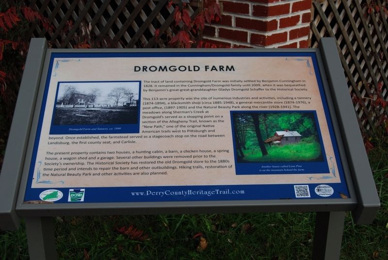
Dromgold Farm
This 113-acre property was the site of numerous industries and activities, including a tannery (1874-1894), a blacksmith shop (circa 1885-1948), a general mercantile store (1874-1976), a post office (1897-1905) and the Natural Beauty Park along the river (1928-1941). The meadows along Sherman's Creek at Dromgold served as a stopping point on a section of the Allegheny Trail, known as the "New Path," one of the original Native American trails west to Pittsburgh and beyond. Once established, the farmstead served as a stagecoach stop on the road between Landisburg, the first county seat, and Carlisle
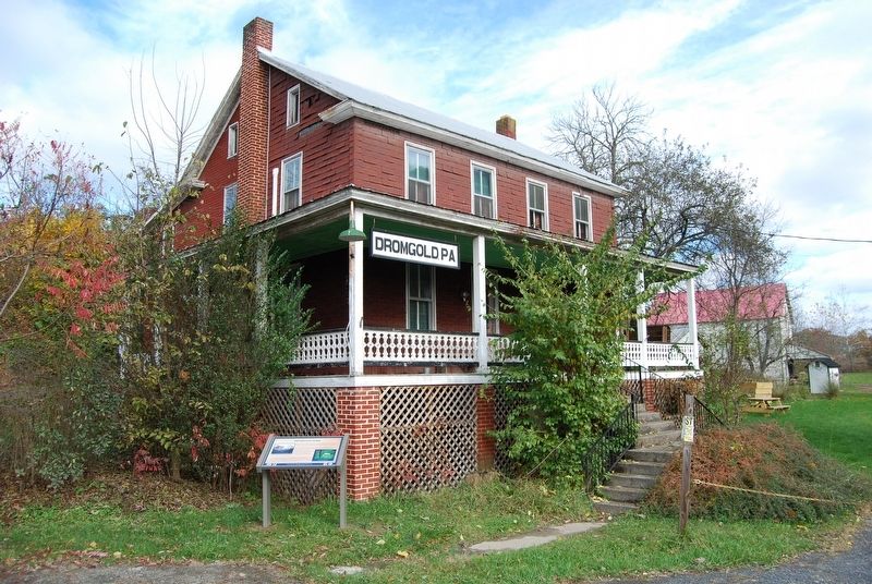
The present property contains two houses, a hunting cabin, a barn, a chicken house, a spring house, a wagon shed and a garage. Several other buildings were removed prior to the Society's ownership. The Historical Society has restored the old Dromgold store to the 1880s time period and intends to repair the barn and other outbuildings. Hiking trails, restoration of the Natural Beauty Park and other activities are also planned.
Erected by DCNR, Historical Society of Perry County.
Topics and series. This historical marker is listed in these topic lists: Agriculture • Industry & Commerce • Native Americans • Waterways & Vessels. In addition, it is included in the Perry County Heritage Trail in Pennsylvania. series list. A significant historical year for this entry is 1828.
Location. 40° 20.79′ N, 77° 11.539′ W. Marker is near Shermans Dale, Pennsylvania, in Perry County. It is in Carroll Township. Marker can be reached from the intersection of Landisburg Road (Pennsylvania Route 850) and Spring Road (Pennsylvania Route 34). Touch for map. Marker is at or near this postal address: 6065 Spring Rd, Shermans Dale PA 17090, United States of America. Touch for directions.
Other nearby markers. At least 8 other markers are within 5 miles of this marker, measured as the crow flies. William Bigler (a few steps from this marker); Veterans Memorial (approx. 0.7 miles away); Lupfer's Grove (approx. 0.7 miles away); John Bannister Gibson (approx. 1.1 miles away); a different marker also named John Bannister Gibson (approx. 1.1 miles away); The Route of United States Army Despatch Riders / Confederate Soldiers Farthest Advance (approx. 4.7 miles away); The Old County Jail (approx. 5 miles away); Founding of New Bloomfield (approx. 5 miles away). Touch for a list and map of all markers in Shermans Dale.
Also see . . . Perry County Heritage Trail. (Submitted on November 10, 2017, by Mike Wintermantel of Pittsburgh, Pennsylvania.)
Credits. This page was last revised on February 27, 2024. It was originally submitted on November 10, 2017, by Mike Wintermantel of Pittsburgh, Pennsylvania. This page has been viewed 444 times since then and 68 times this year. Photos: 1, 2. submitted on November 10, 2017, by Mike Wintermantel of Pittsburgh, Pennsylvania.

