Richmond in Ottawa, Ontario — Central Canada (North America)
County of Carleton/Richmond Agricultural Society
Photographed by William Fischer, Jr., November 12, 2017
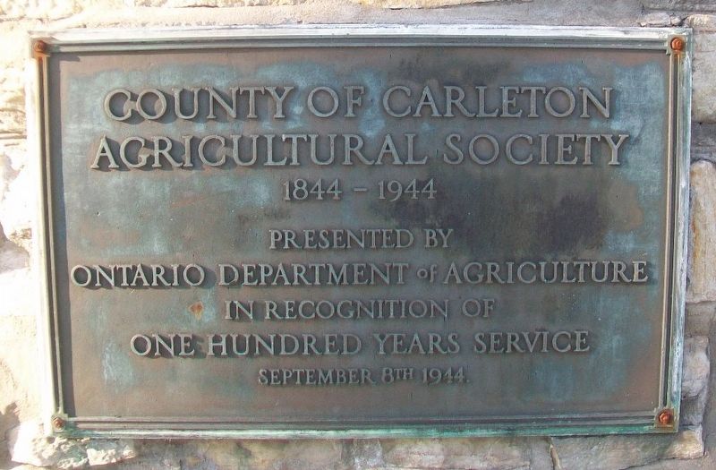
1. County of Carleton Agricultural Society Marker
Agricultural Society
1844 - 1944
Presented by
Ontario Department of Agriculture
in recognition of
One Hundred Years Service
September 8th 1944
———————————————
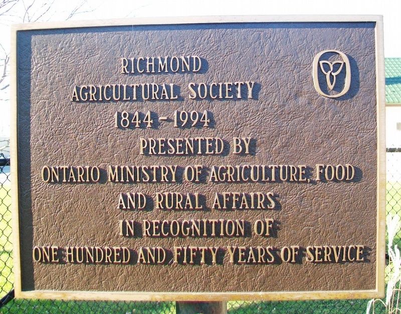
Richmond Agricultural Society
1844 - 1994
Presented by
Ontario Ministry of Agriculture,
Food and Rural Affairs
in recognition of
One Hundred and Fifty Years of Service
Erected 1944 by Ontario Department of Agriculture.
Topics. This historical marker is listed in these topic lists: Agriculture • Man-Made Features • Settlements & Settlers. A significant historical date for this entry is September 8, 1844.
Location. 45° 11.704′ N, 75° 50.282′ W. Marker is in Ottawa, Ontario. It is in Richmond. It is on Perth Street just west of Huntley Road, on the right when traveling west. Marker is adjacent to the Richmond Fairgrounds. Touch for map. Marker is at or near this postal address: 6107 Perth Street, Ottawa ON K0A 2Z0, Canada. Touch for directions.

Regionally, this marker is in Eastern Ontario. It is also in Central Canada. Globally, it is in North America, the Western Hemisphere, the Western World, and the Anglosphere.
this page online
Other nearby markers. At least 8 other markers are within 11 kilometers of this marker, measured as the crow flies: Richmond Military Settlement (here, next to this marker); Breaking Through to the Jock River (within shouting distance of this marker); Richmond Settlement 1825 (about 90 meters away, measured in a direct line); War Memorial Cenotaph (about 90 meters away); St. Andrew's Presbyterian Church (approx. half a kilometer away); Loyal Orange Lodge #151 (approx. 0.6 kilometers away); Charles Lennox (approx. 4.8 kilometers away); War Memorial (approx. 11.1 kilometers away). Touch for a list and map of all markers in Ottawa.
Photographed by William Fischer, Jr., November 12, 2017
2. Richmond Agricultural Society Marker
Photographed by William Fischer, Jr., November 12, 2017
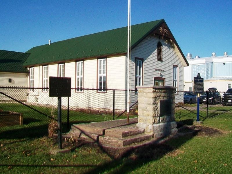
3. County of Carleton Agricultural Society and Richmond Agricultural Society Markers
Photographed by William Fischer, Jr., November 12, 2017
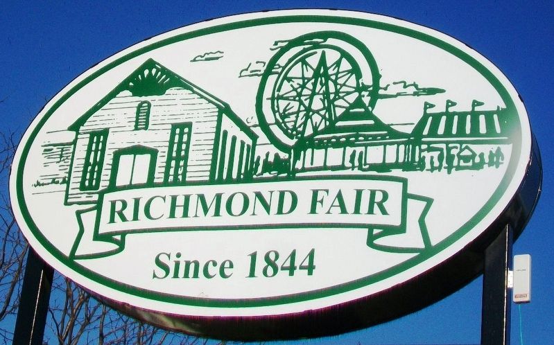
4. Richmond Fairgrounds Sign
Credits. This page was last revised on March 15, 2026. It was originally submitted on November 12, 2017, by William Fischer, Jr. of Reynoldsburg, Ohio. This page has been viewed 376 times since then and 16 times this year. Photos: 1, 2, 3, 4. submitted on November 12, 2017, by William Fischer, Jr. of Reynoldsburg, Ohio.
